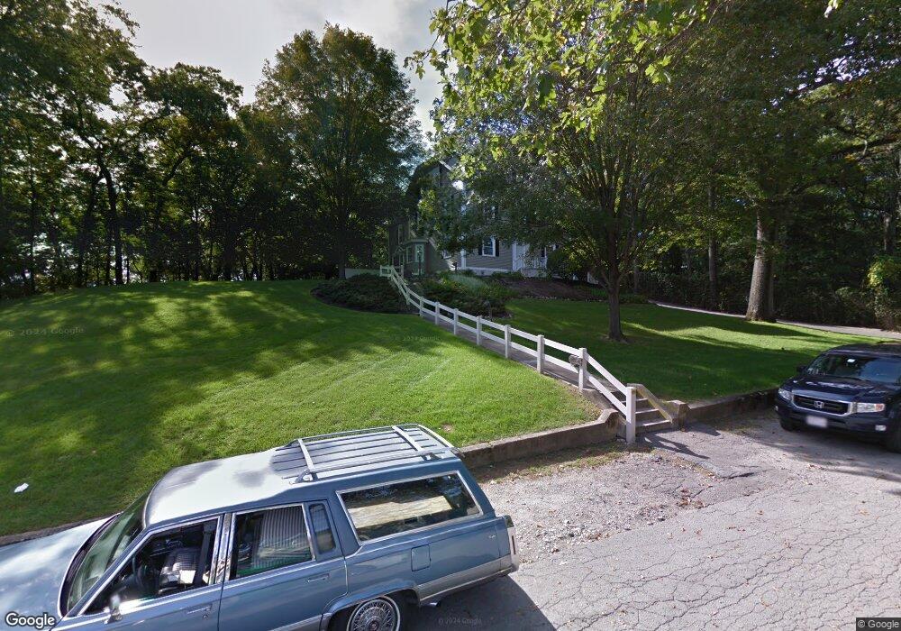
2285 Commonwealth Ave Auburndale, MA 02466
Auburndale NeighborhoodEstimated Value: $1,017,000
--
Bed
--
Bath
--
Sq Ft
0.28
Acres
About This Home
This home is located at 2285 Commonwealth Ave, Auburndale, MA 02466 and is currently priced at $1,017,000. 2285 Commonwealth Ave is a home located in Middlesex County with nearby schools including C.C. Burr, F.A. Day Middle School, and Newton North High School.
Ownership History
Date
Name
Owned For
Owner Type
Purchase Details
Closed on
Jul 3, 2007
Sold by
Commonwealth Vet Hosp
Bought by
Hawk Re Group Llc
Current Estimated Value
Home Financials for this Owner
Home Financials are based on the most recent Mortgage that was taken out on this home.
Original Mortgage
$2,000,000
Outstanding Balance
$1,232,989
Interest Rate
6.24%
Mortgage Type
Purchase Money Mortgage
Create a Home Valuation Report for This Property
The Home Valuation Report is an in-depth analysis detailing your home's value as well as a comparison with similar homes in the area
Home Values in the Area
Average Home Value in this Area
Purchase History
| Date | Buyer | Sale Price | Title Company |
|---|---|---|---|
| Hawk Re Group Llc | $1,420,000 | -- |
Source: Public Records
Mortgage History
| Date | Status | Borrower | Loan Amount |
|---|---|---|---|
| Open | Hawk Re Group Llc | $2,000,000 |
Source: Public Records
Tax History Compared to Growth
Tax History
| Year | Tax Paid | Tax Assessment Tax Assessment Total Assessment is a certain percentage of the fair market value that is determined by local assessors to be the total taxable value of land and additions on the property. | Land | Improvement |
|---|---|---|---|---|
| 2025 | $595 | $60,700 | $60,700 | $0 |
| 2024 | $575 | $58,900 | $58,900 | $0 |
| 2023 | $669 | $65,700 | $65,700 | $0 |
| 2022 | $665 | $63,200 | $63,200 | $0 |
| 2021 | $661 | $61,400 | $61,400 | $0 |
| 2020 | $641 | $61,400 | $61,400 | $0 |
| 2019 | $623 | $59,600 | $59,600 | $0 |
| 2018 | $623 | $57,600 | $57,600 | $0 |
| 2017 | $628 | $56,500 | $56,500 | $0 |
| 2016 | $625 | $54,900 | $54,900 | $0 |
| 2015 | $625 | $53,800 | $53,800 | $0 |
Source: Public Records
Map
Nearby Homes
- 2202 Commonwealth Ave Unit 2
- 2202 Commonwealth Ave Unit 1
- 283 Melrose St
- 27 Oakwood Rd
- 17 Lasell St
- 224 Auburn St Unit 224
- 224 Auburn St Unit A
- 226 Auburn St Unit 226
- 49 Staniford St
- 103 Loring Rd
- 62-64 Rowe St Unit B
- 707 South St
- 217 Summer St
- 13 Weir St
- 160 Pine St Unit 12
- 283 Woodland Rd
- 17 Deforest Rd
- 17 Crescent St
- 1754 Washington St
- 51 Bourne St
- 2282 Commonwealth Ave Unit 2
- 2280 Commonwealth Ave Unit 2280
- 2280 Commonwealth Ave Unit 1
- 2280 Commonwealth Ave
- 16 Phillips St
- 10 Phillips St
- 53 Bourne St
- 2300 Commonwealth Ave Unit 1-2
- 2300 Commonwealth Ave Unit 1-4
- 2300 Commonwealth Ave Unit 3-3
- 2300 Commonwealth Ave Unit 3-2
- 2300 Commonwealth Ave Unit 3-1
- 2300 Commonwealth Ave Unit 2-1
- 2300 Commonwealth Ave Unit 1-6
- 2300 Commonwealth Ave Unit 1-1
- 2300 Commonwealth Ave Unit 2-5
- 2300 Commonwealth Ave Unit 3-6
- 2300 Commonwealth Ave Unit 1-5
- 2300 Commonwealth Ave Unit 2-6
- 2300 Commonwealth Ave