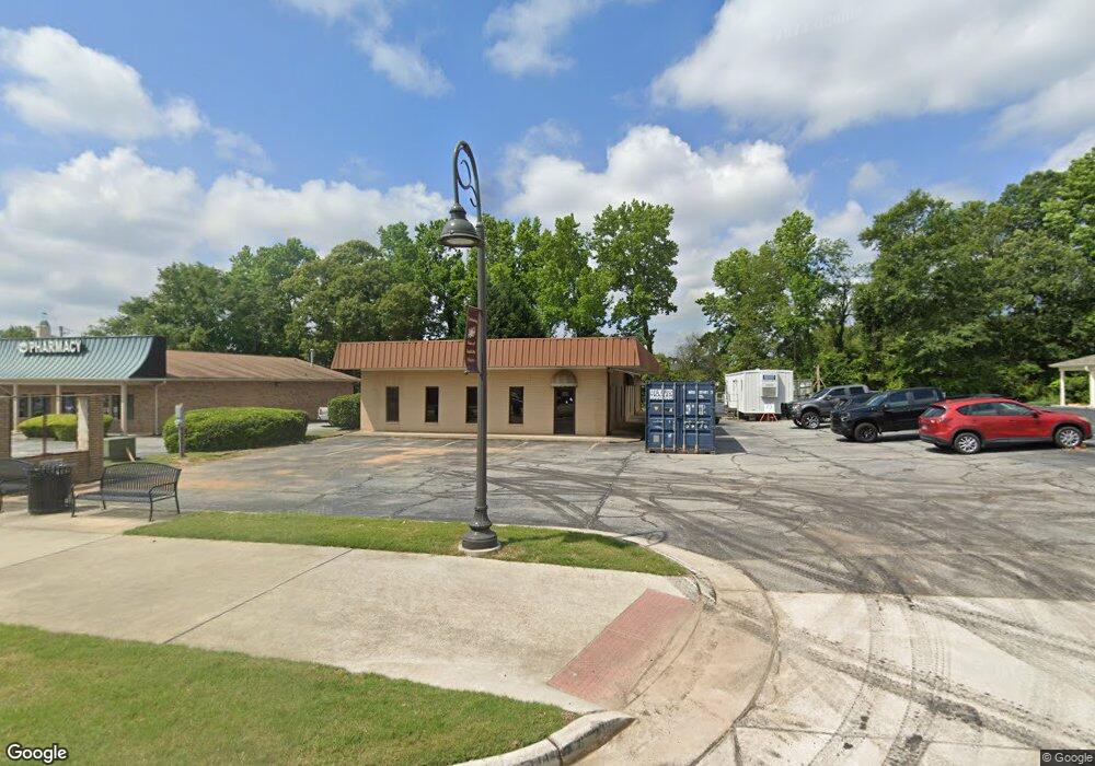
2285 Oak Rd Snellville, GA 30078
Estimated Value: $415,087
--
Bed
--
Bath
3,040
Sq Ft
$137/Sq Ft
Est. Value
About This Home
This home is located at 2285 Oak Rd, Snellville, GA 30078 and is currently estimated at $415,087, approximately $136 per square foot. 2285 Oak Rd is a home located in Gwinnett County with nearby schools including Britt Elementary School, Snellville Middle School, and South Gwinnett High School.
Ownership History
Date
Name
Owned For
Owner Type
Purchase Details
Closed on
Oct 25, 2016
Bought by
City Of Snellville
Current Estimated Value
Purchase Details
Closed on
Mar 6, 2012
Sold by
Mullinax Ronald
Bought by
Stone Investment Llc
Purchase Details
Closed on
Jun 30, 2004
Sold by
Coulson Marjorie C
Bought by
Mullinax Ronald E
Home Financials for this Owner
Home Financials are based on the most recent Mortgage that was taken out on this home.
Original Mortgage
$300,000
Interest Rate
6.25%
Mortgage Type
Commercial
Create a Home Valuation Report for This Property
The Home Valuation Report is an in-depth analysis detailing your home's value as well as a comparison with similar homes in the area
Home Values in the Area
Average Home Value in this Area
Purchase History
| Date | Buyer | Sale Price | Title Company |
|---|---|---|---|
| City Of Snellville | $190,000 | -- | |
| Stone Investment Llc | -- | -- | |
| Mullinax Ronald E | $300,000 | -- |
Source: Public Records
Mortgage History
| Date | Status | Borrower | Loan Amount |
|---|---|---|---|
| Previous Owner | Mullinax Ronald E | $300,000 |
Source: Public Records
Tax History Compared to Growth
Tax History
| Year | Tax Paid | Tax Assessment Tax Assessment Total Assessment is a certain percentage of the fair market value that is determined by local assessors to be the total taxable value of land and additions on the property. | Land | Improvement |
|---|---|---|---|---|
| 2024 | -- | $79,640 | $25,600 | $54,040 |
| 2023 | $237 | $95,200 | $45,040 | $50,160 |
| 2022 | $0 | $95,200 | $45,040 | $50,160 |
| 2021 | $237 | $100,400 | $57,320 | $43,080 |
| 2020 | $237 | $100,400 | $57,320 | $43,080 |
| 2019 | $236 | $100,000 | $40,960 | $59,040 |
| 2018 | $236 | $100,000 | $40,960 | $59,040 |
| 2016 | $4,682 | $118,048 | $34,816 | $83,232 |
| 2015 | $5,450 | $138,880 | $40,960 | $97,920 |
| 2014 | $5,485 | $138,880 | $40,960 | $97,920 |
Source: Public Records
Map
Nearby Homes
- 2700 Norwich Trace
- 2498 Main St E
- 1619 Tielman Way
- 1609 Tielman Way
- 3381 Thurgood Ct Unit 6
- 3381 Thurgood Ct
- 3378 Chosen Blvd
- 2166 Tanglewood Dr Unit 1
- 2103 Forest Ct
- 2532 Millbrook Dr
- 2055 Oak Rd
- 2173 Timber Ln
- 2842 Ally Carol Place
- 2841 Ally Carol Place
- 3383 Thurgood Ct Unit 5
- 3385 Thurgood Ct Unit 4
- 3387 Thurgood Ct Unit 3
- 2265 Oak Rd
- 2270 Oak Rd SW Unit 258
- 2630 Norwich Trace
- 2530 Norwich Trace Unit 18
- 2575 Norwich Trace Unit 45 A
- 2505 Norwich Trace Unit 38 a
- 2575 Norwich Trace
- 2505 Norwich Trace
- 2565 Norwich Trace Unit 44 A
- 2555 Norwich Trace Unit 43 A
- 2545 Norwich Trace Unit 42 A
- 2535 Norwich Trace Unit 41 A
- 2525 Norwich Trace Unit 40 A
- 2515 Norwich Trace Unit 39 A
- 2565 Norwich Trace
- 2555 Norwich Trace
- 2545 Norwich Trace
- 2535 Norwich Trace
- 2525 Norwich Trace
- 2515 Norwich Trace