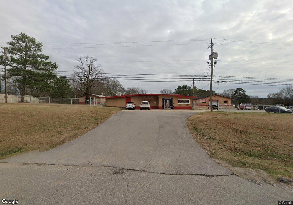
2285 U S 78 Anniston, AL 36203
Estimated Value: $227,178
--
Bed
--
Bath
9,323
Sq Ft
$24/Sq Ft
Est. Value
About This Home
This home is located at 2285 U S 78, Anniston, AL 36203 and is currently estimated at $227,178, approximately $24 per square foot. 2285 U S 78 is a home located in Calhoun County with nearby schools including Oxford Middle School, Oxford High School, and Heritage Christian Academy And.
Ownership History
Date
Name
Owned For
Owner Type
Purchase Details
Closed on
Dec 28, 2018
Sold by
Farrell William J
Bought by
Jlc Holdings Llc
Current Estimated Value
Home Financials for this Owner
Home Financials are based on the most recent Mortgage that was taken out on this home.
Original Mortgage
$120,000
Interest Rate
4.8%
Mortgage Type
New Conventional
Purchase Details
Closed on
Sep 29, 2011
Sold by
F & K Properties Llc
Bought by
Martin Chris and Martin Cora
Create a Home Valuation Report for This Property
The Home Valuation Report is an in-depth analysis detailing your home's value as well as a comparison with similar homes in the area
Home Values in the Area
Average Home Value in this Area
Purchase History
| Date | Buyer | Sale Price | Title Company |
|---|---|---|---|
| Jlc Holdings Llc | $150,000 | None Available | |
| Martin Chris | -- | -- |
Source: Public Records
Mortgage History
| Date | Status | Borrower | Loan Amount |
|---|---|---|---|
| Closed | Jlc Holdings Llc | $120,000 |
Source: Public Records
Tax History Compared to Growth
Tax History
| Year | Tax Paid | Tax Assessment Tax Assessment Total Assessment is a certain percentage of the fair market value that is determined by local assessors to be the total taxable value of land and additions on the property. | Land | Improvement |
|---|---|---|---|---|
| 2024 | $2,044 | $43,044 | $13,060 | $29,984 |
| 2023 | $2,044 | $43,044 | $13,060 | $29,984 |
| 2022 | $1,890 | $43,044 | $13,060 | $29,984 |
| 2021 | $1,552 | $35,544 | $12,280 | $23,264 |
| 2020 | $1,650 | $37,984 | $13,080 | $24,904 |
| 2019 | $1,580 | $36,344 | $13,072 | $23,272 |
| 2018 | $1,571 | $33,080 | $0 | $0 |
| 2017 | $2,688 | $56,580 | $0 | $0 |
| 2016 | $2,688 | $56,580 | $0 | $0 |
| 2013 | -- | $59,080 | $0 | $0 |
Source: Public Records
Map
Nearby Homes
- 3020 Brentwood Dr
- 3116 Brentwood Dr
- 3049 Brentwood Dr Unit 7.1 acres
- 1 Airport Rd Unit 1
- 63 Nancy Dr
- 0 Mountain Brow Dr Unit 21413379
- 0 Mountain Brow Dr Unit 21413374
- 46 Allen St
- 0 Emi Gil Dr Unit 14 21368920
- 88 Sweetheart Ln
- 1210 Early St
- 3489 Highway 78 W Unit 14
- 1214 Greensboro Dr
- 1217 Rockwood Ln
- 916 Pinecliff Dr
- 175 Kelly Ln Unit 7.47 Acres
- 915 Pinecliff Dr
- 906 Pinecliff Dr
- 180 Hidden Lakes Ln
- 000 Interstate 20 Unit 1
- 2285 Us Highway 78 W
- 42 April Ln
- 70 April Ln
- 2241 Us Highway 78 W
- 2241 Us Highway 78 W
- 2241 Us Highway 78 W
- 292 Del Ray Dr
- 2308 U S 78
- 264 Del Ray Dr
- 2278 Us Highway 78 W
- 118 April Ln
- 244 Del Ray Dr
- 6002 Us Highway 78 E
- 23 April Ln
- 224 Del Ray Dr
- 55 Ritch Dr
- 15 Del Ray Place
- 425 Del Ray Cir
- 2360 Us Highway 78 W
- 31 Del Ray Place