22850 McPhall Rd Armada, MI 48005
Estimated Value: $456,000 - $622,000
3
Beds
4
Baths
1,800
Sq Ft
$278/Sq Ft
Est. Value
About This Home
This home is located at 22850 McPhall Rd, Armada, MI 48005 and is currently estimated at $499,856, approximately $277 per square foot. 22850 McPhall Rd is a home located in Macomb County with nearby schools including Orville C. Krause Elementary School, Armada Middle School, and Armada High School.
Ownership History
Date
Name
Owned For
Owner Type
Purchase Details
Closed on
Sep 30, 2011
Sold by
Relocation Advantage Llc
Bought by
Puls Mark A and Puls Lezlie K
Current Estimated Value
Purchase Details
Closed on
Oct 29, 1999
Sold by
Binkowski Brian E
Bought by
Herbert Timothy A
Create a Home Valuation Report for This Property
The Home Valuation Report is an in-depth analysis detailing your home's value as well as a comparison with similar homes in the area
Home Values in the Area
Average Home Value in this Area
Purchase History
| Date | Buyer | Sale Price | Title Company |
|---|---|---|---|
| Puls Mark A | $243,000 | None Available | |
| Relocation Advantage Llc | $243,000 | None Available | |
| Herbert Timothy A | $219,000 | -- |
Source: Public Records
Tax History Compared to Growth
Tax History
| Year | Tax Paid | Tax Assessment Tax Assessment Total Assessment is a certain percentage of the fair market value that is determined by local assessors to be the total taxable value of land and additions on the property. | Land | Improvement |
|---|---|---|---|---|
| 2025 | $4,659 | $225,100 | $0 | $0 |
| 2024 | $2,869 | $219,100 | $0 | $0 |
| 2023 | $2,719 | $192,000 | $0 | $0 |
| 2022 | $4,118 | $173,400 | $0 | $0 |
| 2021 | $4,004 | $165,900 | $0 | $0 |
| 2020 | $2,500 | $159,900 | $0 | $0 |
| 2019 | $3,676 | $148,700 | $0 | $0 |
| 2018 | $3,370 | $144,200 | $0 | $0 |
| 2017 | $3,324 | $135,400 | $20,700 | $114,700 |
| 2016 | $3,300 | $134,000 | $0 | $0 |
| 2015 | -- | $137,700 | $0 | $0 |
| 2011 | -- | $94,517 | $18,219 | $76,298 |
Source: Public Records
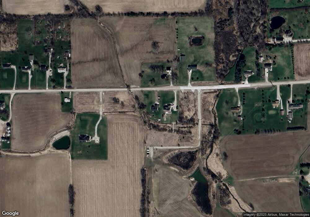
Map
Nearby Homes
- 23335 McPhall Rd
- 21790 McPhall Rd
- 00 Irwin Rd
- 0 Irwin Unit 20251018591
- 75901 North Ave
- 21550 Irwin Rd
- 24800 Dayton Rd
- 14150 Hough Rd
- 76438 Burman Rd
- Lot 7 Vacant Land Burman Rd
- 2.0 Acres Vacant Lan Coon Creek Rd
- 27200 Irwin Rd
- 23700 E Main St
- 00 Angling Rd #6 Rd
- 73921 Omo Rd
- 73435 Church St
- 14476 Gilbert Rd
- 73391 Fulton St
- 26834 School Section Rd
- 408 Howell Rd
- 22900 McPhall Rd
- 22950 McPhall Rd
- 22855 McPhall Rd
- 22965 McPhall Rd
- 22732 McPhall Rd
- 22686 McPhall Rd
- 23233 McPhall Rd
- 22675 McPhall Rd
- Vacant McPhall
- 23251 McPhall Rd
- 22651 McPhall Rd Unit Bldg-Unit
- 22651 McPhall Rd
- 23250 McPhall Rd
- 22611 McPhall Rd
- 23310 McPhall Rd
- 79201 North Ave
- 22567 McPhall Rd
- 78971 North Ave
- 22515 McPhall Rd
- 23130 McPhall Rd