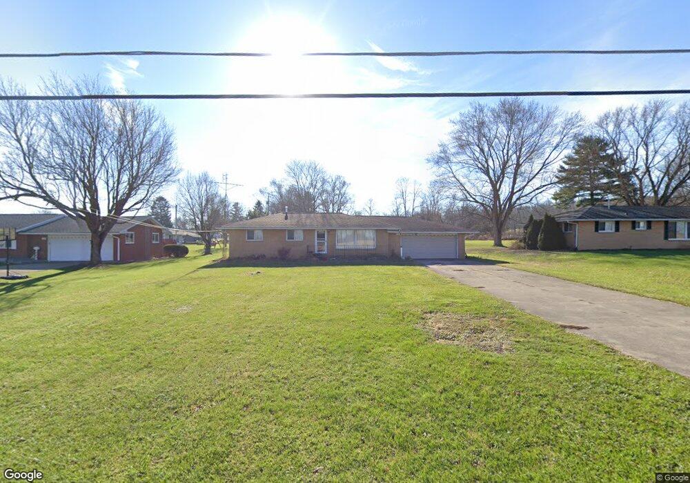
2286 Crider Rd Mansfield, OH 44903
Estimated Value: $188,000 - $229,000
3
Beds
1
Bath
1,144
Sq Ft
$181/Sq Ft
Est. Value
About This Home
This home is located at 2286 Crider Rd, Mansfield, OH 44903 and is currently estimated at $206,856, approximately $180 per square foot. 2286 Crider Rd is a home located in Richland County with nearby schools including Madison High School, St. Mary Catholic School, and Temple-Christian School.
Ownership History
Date
Name
Owned For
Owner Type
Purchase Details
Closed on
Jan 8, 2019
Sold by
Donovan William F and Donavan William F
Bought by
Donovan William F and Donovan Diana
Current Estimated Value
Purchase Details
Closed on
Jun 26, 2003
Sold by
Yirga Shawn and Yirga Sharissa
Bought by
Donavan William F
Home Financials for this Owner
Home Financials are based on the most recent Mortgage that was taken out on this home.
Original Mortgage
$72,800
Outstanding Balance
$29,624
Interest Rate
5.51%
Mortgage Type
Purchase Money Mortgage
Estimated Equity
$177,232
Create a Home Valuation Report for This Property
The Home Valuation Report is an in-depth analysis detailing your home's value as well as a comparison with similar homes in the area
Home Values in the Area
Average Home Value in this Area
Purchase History
| Date | Buyer | Sale Price | Title Company |
|---|---|---|---|
| Donovan William F | -- | None Available | |
| Donavan William F | $91,000 | Progressive Land Title |
Source: Public Records
Mortgage History
| Date | Status | Borrower | Loan Amount |
|---|---|---|---|
| Open | Donavan William F | $72,800 | |
| Closed | Donavan William F | $13,650 |
Source: Public Records
Tax History
| Year | Tax Paid | Tax Assessment Tax Assessment Total Assessment is a certain percentage of the fair market value that is determined by local assessors to be the total taxable value of land and additions on the property. | Land | Improvement |
|---|---|---|---|---|
| 2025 | $2,477 | $50,100 | $9,240 | $40,860 |
| 2024 | $2,477 | $50,100 | $9,240 | $40,860 |
| 2023 | $2,531 | $50,100 | $9,240 | $40,860 |
| 2022 | $1,903 | $34,720 | $7,410 | $27,310 |
| 2021 | $1,903 | $34,720 | $7,410 | $27,310 |
| 2020 | $1,918 | $34,720 | $7,410 | $27,310 |
| 2019 | $1,726 | $29,170 | $6,220 | $22,950 |
| 2018 | $1,711 | $29,170 | $6,220 | $22,950 |
| 2017 | $1,695 | $29,170 | $6,220 | $22,950 |
| 2016 | $1,710 | $29,020 | $5,910 | $23,110 |
| 2015 | $1,710 | $29,020 | $5,910 | $23,110 |
| 2014 | $1,676 | $29,020 | $5,910 | $23,110 |
| 2012 | $808 | $30,550 | $6,220 | $24,330 |
Source: Public Records
Map
Nearby Homes
- 2264 Crider Rd
- 1990 Woodmont Rd
- 620 Running Brook Way
- 690 Ashland Rd
- 474 Biscayne Dr
- 1674 Honeysuckle Dr
- 1440 Barbara Ln
- 754 Touby Ln
- 1544 Pear Place
- 0 McBride Road Parcel # 1 Unit 9066028
- 684 N Mcelroy Rd
- 672 Coachman Rd
- 888 Beal Rd
- 683 Coachman Rd
- 632 Coachman Rd
- 602 Champion Rd
- 1226 Evergreen Ave W
- 615 Champion Rd
- 644 Skyline Rd
- 1217 Evergreen Ave W
Your Personal Tour Guide
Ask me questions while you tour the home.