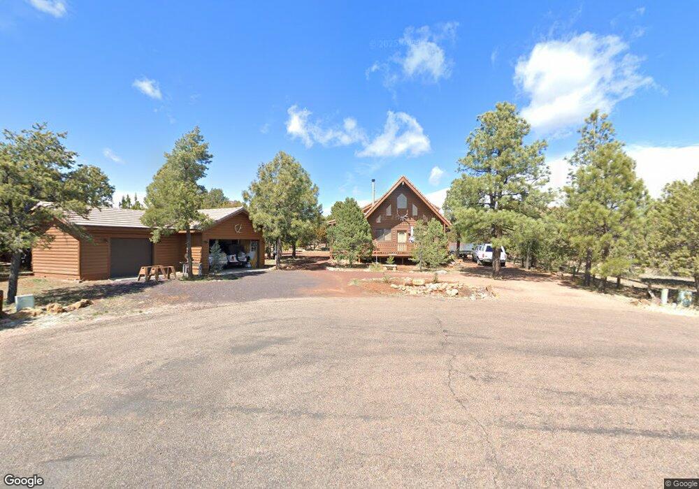
2286 Spad Cir Overgaard, AZ 85933
Estimated Value: $405,063 - $484,000
3
Beds
2
Baths
1,604
Sq Ft
$286/Sq Ft
Est. Value
About This Home
This home is located at 2286 Spad Cir, Overgaard, AZ 85933 and is currently estimated at $459,516, approximately $286 per square foot. 2286 Spad Cir is a home located in Navajo County with nearby schools including Mountain Meadows Primary School, Mogollon Junior High School, and Mogollon High School.
Ownership History
Date
Name
Owned For
Owner Type
Purchase Details
Closed on
Sep 16, 2008
Sold by
Pettit Farrell R and Pettit Leigh C
Bought by
Pettit Farrell R and Pettit Leigh C
Current Estimated Value
Home Financials for this Owner
Home Financials are based on the most recent Mortgage that was taken out on this home.
Original Mortgage
$115,500
Interest Rate
6.51%
Mortgage Type
Stand Alone Refi Refinance Of Original Loan
Purchase Details
Closed on
Feb 22, 2006
Sold by
Pettit Farrell R and Pettit Leigh C
Bought by
Pettit Farrell R and Pettit Leigh C
Create a Home Valuation Report for This Property
The Home Valuation Report is an in-depth analysis detailing your home's value as well as a comparison with similar homes in the area
Home Values in the Area
Average Home Value in this Area
Purchase History
| Date | Buyer | Sale Price | Title Company |
|---|---|---|---|
| Pettit Farrell R | -- | Transnation Title | |
| Pettit Farrell R | -- | None Available |
Source: Public Records
Mortgage History
| Date | Status | Borrower | Loan Amount |
|---|---|---|---|
| Closed | Pettit Farrell R | $115,500 |
Source: Public Records
Tax History
| Year | Tax Paid | Tax Assessment Tax Assessment Total Assessment is a certain percentage of the fair market value that is determined by local assessors to be the total taxable value of land and additions on the property. | Land | Improvement |
|---|---|---|---|---|
| 2026 | $1,876 | -- | -- | -- |
| 2025 | $1,828 | $38,873 | $3,405 | $35,468 |
| 2024 | $1,731 | $41,313 | $4,240 | $37,073 |
| 2023 | $1,828 | $29,614 | $3,143 | $26,471 |
| 2022 | $1,731 | $0 | $0 | $0 |
| 2021 | $1,719 | $0 | $0 | $0 |
| 2020 | $1,447 | $0 | $0 | $0 |
| 2019 | $1,558 | $0 | $0 | $0 |
| 2018 | $1,487 | $0 | $0 | $0 |
| 2017 | $1,433 | $0 | $0 | $0 |
| 2016 | $1,365 | $0 | $0 | $0 |
| 2015 | $1,272 | $12,369 | $2,592 | $9,777 |
Source: Public Records
Map
Nearby Homes
- 2746 Air Park Dr
- 2740 Air Park Dr
- 2270 Spitfire Cir
- 2746 Columbia Ln
- 2761 Apollo Cir
- 2310 Quarter Horse Trail
- 2750 Columbia Ln
- 2785 Sky Hawk Dr
- 2343 Quarter Horse Trail
- 2781 Air Park Dr
- 2381 Quarter Horse Trail Unit 105
- 2758 Jaguar Cir
- 2351 Quarter Horse Trail Unit 134
- 2361 Quarter Horse Trail Unit 132
- 2353 Quarter Horse Trail Unit 238
- 2359 Quarter Horse Trail Unit 136
- 2794 Sky Hawk Dr
- 2794 Sky Hawk Dr Unit 140
- 2344 Buffalo Loop Unit North
- 2344 Buffalo Loop
- 2751 Airpark Drive -- Unit 32
- 2751 Airpark Drive -- Unit 32
- 2751 Air Park Dr Unit 32
- 2749 Air Park Dr
- 2748 Kitty Hawk Ln Unit 19
- 2750 Kittyhawk Ln
- 2285 Spad Cir
- 2748 Kittyhawk
- 2752 Kittyhawk Ln
- 2757 Air Park Dr
- 2757 Airpark Dr
- 2289 Spad Cir
- 2747 Airpark Dr
- 2747 Airpark Dr Unit 30
- 2747 Air Park Dr Unit 30
- 2747 Air Park Dr
- 2289 E Spad Cir
- 2289 Spad Cir
- 2746 Kittyhawk Ln
- 2746 Kitty Hawk Ln
Your Personal Tour Guide
Ask me questions while you tour the home.