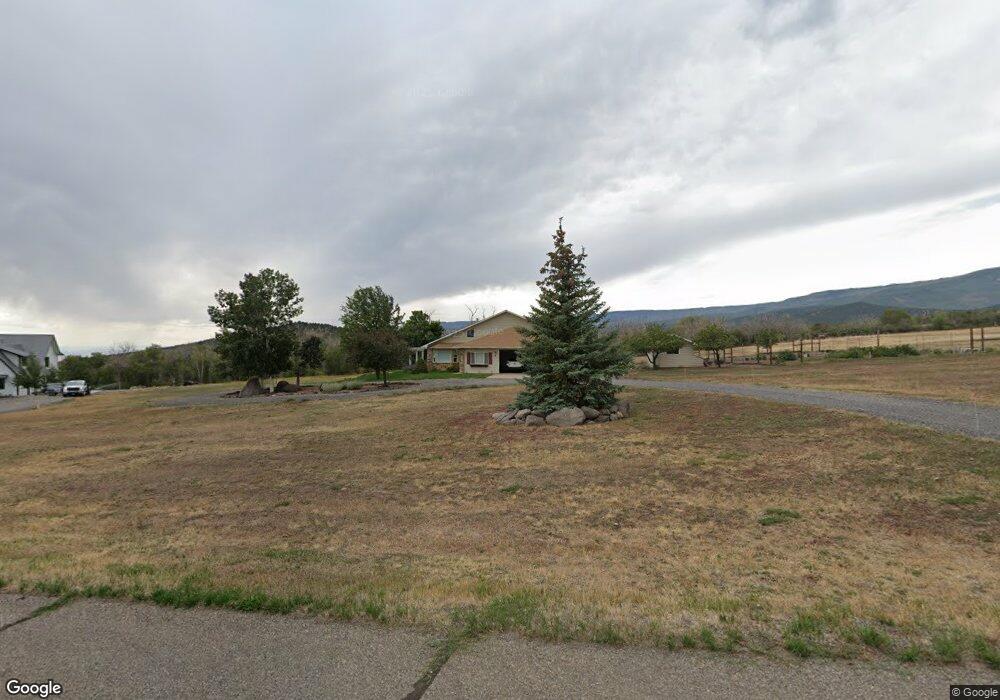
22869 Thunder Mountain Ln Cedaredge, CO 81413
Estimated Value: $556,827 - $844,000
3
Beds
3
Baths
2,687
Sq Ft
$257/Sq Ft
Est. Value
About This Home
This home is located at 22869 Thunder Mountain Ln, Cedaredge, CO 81413 and is currently estimated at $691,457, approximately $257 per square foot. 22869 Thunder Mountain Ln is a home located in Delta County with nearby schools including Cedaredge Elementary School, Cedaredge Middle School, and Cedaredge High School.
Ownership History
Date
Name
Owned For
Owner Type
Purchase Details
Closed on
Dec 27, 2018
Sold by
Mccallum Henry and Mccallum Janice
Bought by
Macgregor John Wayne and Macgregor Louise Lopes
Current Estimated Value
Purchase Details
Closed on
Oct 1, 1999
Sold by
Mossler
Bought by
Mccallum
Purchase Details
Closed on
Oct 15, 1996
Sold by
Chastain
Bought by
Mossler
Create a Home Valuation Report for This Property
The Home Valuation Report is an in-depth analysis detailing your home's value as well as a comparison with similar homes in the area
Purchase History
| Date | Buyer | Sale Price | Title Company |
|---|---|---|---|
| Macgregor John Wayne | $425,000 | Heritage Title Co | |
| Mccallum | $64,500 | -- | |
| Mossler | $47,000 | -- |
Source: Public Records
Tax History Compared to Growth
Tax History
| Year | Tax Paid | Tax Assessment Tax Assessment Total Assessment is a certain percentage of the fair market value that is determined by local assessors to be the total taxable value of land and additions on the property. | Land | Improvement |
|---|---|---|---|---|
| 2024 | $1,998 | $32,308 | $6,686 | $25,622 |
| 2023 | $1,998 | $32,308 | $6,686 | $25,622 |
| 2022 | $2,004 | $33,355 | $4,489 | $28,866 |
| 2021 | $2,010 | $34,315 | $4,618 | $29,697 |
| 2020 | $1,828 | $30,713 | $4,164 | $26,549 |
| 2019 | $1,832 | $30,713 | $4,164 | $26,549 |
| 2018 | $1,354 | $21,845 | $3,924 | $17,921 |
| 2017 | $1,354 | $21,845 | $3,924 | $17,921 |
| 2016 | $1,321 | $23,407 | $5,333 | $18,074 |
| 2014 | -- | $27,782 | $5,333 | $22,449 |
Source: Public Records
Map
Nearby Homes
- 22876 Thunder Mountain Ln
- 20709 Highway 65
- TBD SE 3rd Lot 5 Will-O-way Subdivision St
- 23045 T Rd
- 20508 Green Valley Rd
- Unit 13 W Elk Dr
- 24119 Ute Trail Rd
- 18865 Northridge Rd
- 24500 Timothy Rd
- 24593 Timothy Rd
- Lot 7 Wild Turkey Ln
- 18377 Highway 65
- 520 NE Ginters Grove Ln
- 18697 Ward Creek Rd
- Lot 7 Aspen Hills Rd
- 18200 Surface Creek Rd
- 377 NE Indian Camp Ave
- 794 NE Indian Camp Ave
- 20613 High Park Rd
- 635 NE 2nd St
- 22857 Thunder Mountain Ln
- 22854 Thunder Mountain Ln
- 22903 Thunder Mountain Ln
- 22944 Thunder Mountain Ln
- 22915 Thunder Mountain Ln
- 22850 Thunder Mountain Ln
- 22931 Thunder Mountain Ln
- 0 Thunder Mountain Ln
- 20495 2300 Rd
- 20294 2300 Rd
- 20426 2300 Rd
- 22799 U Rd
- 20045 2300 Rd
- 23074 Ute Trail Rd
- 23152 Ute Trail Rd
- 23037 Ute Trail Rd
- 20290 2300 Rd
- 20110 2300 Rd
- 23148 Ute Trail Rd
- 22945 U Rd