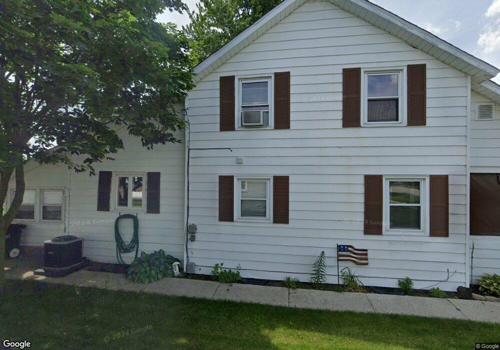
22885 Main St Custar, OH 43511
Estimated Value: $140,000 - $161,000
3
Beds
1
Bath
1,420
Sq Ft
$103/Sq Ft
Est. Value
About This Home
This home is located at 22885 Main St, Custar, OH 43511 and is currently estimated at $146,778, approximately $103 per square foot. 22885 Main St is a home located in Wood County with nearby schools including Bowling Green High School.
Ownership History
Date
Name
Owned For
Owner Type
Purchase Details
Closed on
Mar 28, 2025
Sold by
Cavin Robert F and Cavin Dawn
Bought by
Cavin Robert F and Cavin Dawn
Current Estimated Value
Purchase Details
Closed on
May 15, 2008
Sold by
Crawford Mary Ann and Crawford Stephen W
Bought by
Cavin Robert F
Home Financials for this Owner
Home Financials are based on the most recent Mortgage that was taken out on this home.
Original Mortgage
$79,254
Interest Rate
5.93%
Mortgage Type
Purchase Money Mortgage
Purchase Details
Closed on
Jan 1, 1990
Bought by
Crawford Mary Ann
Create a Home Valuation Report for This Property
The Home Valuation Report is an in-depth analysis detailing your home's value as well as a comparison with similar homes in the area
Home Values in the Area
Average Home Value in this Area
Purchase History
| Date | Buyer | Sale Price | Title Company |
|---|---|---|---|
| Cavin Robert F | -- | None Listed On Document | |
| Cavin Robert F | $77,700 | Attorney | |
| Crawford Mary Ann | -- | -- |
Source: Public Records
Mortgage History
| Date | Status | Borrower | Loan Amount |
|---|---|---|---|
| Previous Owner | Cavin Robert F | $79,254 |
Source: Public Records
Tax History Compared to Growth
Tax History
| Year | Tax Paid | Tax Assessment Tax Assessment Total Assessment is a certain percentage of the fair market value that is determined by local assessors to be the total taxable value of land and additions on the property. | Land | Improvement |
|---|---|---|---|---|
| 2024 | $1,625 | $35,945 | $2,170 | $33,775 |
| 2023 | $1,625 | $35,950 | $2,170 | $33,780 |
| 2021 | $1,249 | $26,400 | $1,440 | $24,960 |
| 2020 | $1,220 | $26,400 | $1,440 | $24,960 |
| 2019 | $1,204 | $25,210 | $1,440 | $23,770 |
| 2018 | $1,197 | $25,210 | $1,440 | $23,770 |
| 2017 | $1,183 | $25,210 | $1,440 | $23,770 |
| 2016 | $1,068 | $22,690 | $1,440 | $21,250 |
| 2015 | $1,068 | $22,690 | $1,440 | $21,250 |
| 2014 | $1,119 | $22,690 | $1,440 | $21,250 |
| 2013 | $1,239 | $22,690 | $1,440 | $21,250 |
Source: Public Records
Map
Nearby Homes
- 22856 Main St
- 22767 Defiance Pike
- 9097 Custar Rd
- 23117 Defiance Pike
- 20236 Jerry City Rd
- 20525 Locust St
- 0 Potter Rd Unit 6135109
- 20410 Oak St
- 125 N Harvest Dr
- 123 N Harvest St
- 121 N Harvest St
- 119 N Harvest St
- 117 N Harvest St
- 110 N Harvest Dr
- 112 N Harvest Dr
- 114 N Harvest Dr
- 116 N Harvest St
- 118 N Harvest Dr
- 120 N Harvest Dr
- 122 N Harvest St
- 22879 Defiance Pike
- 22879 Perry St
- 22885 Defiance Pike
- 22867 Defiance Pike
- 9042 Railroad
- 22855 Defiance Pike
- 0 Railroad St
- 22886 Defiance Pike
- 22868 Defiance Pike
- 22848 Defiance Pike
- 22823 Main St
- 22938 Main St
- 22836 Defiance Pike
- 22811 Defiance Pike
- 22811 Main St
- 22824 Defiance Pike
- 22803 Main St
- 22984 Main St
- 22804 Defiance Pike
- 8952 Custar Rd