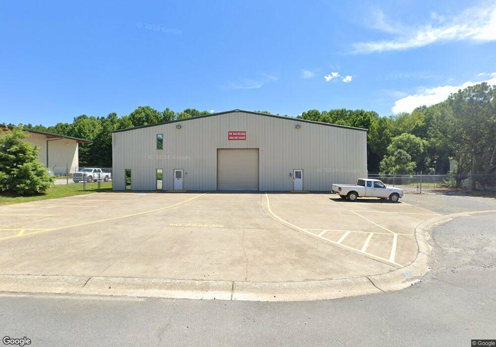
229 Confederate Ave Jasper, GA 30143
Estimated Value: $951,028
--
Bed
--
Bath
7,000
Sq Ft
$136/Sq Ft
Est. Value
About This Home
This home is located at 229 Confederate Ave, Jasper, GA 30143 and is currently estimated at $951,028, approximately $135 per square foot. 229 Confederate Ave is a home located in Pickens County with nearby schools including Harmony Elementary School, Pickens County Middle School, and Pickens County High School.
Ownership History
Date
Name
Owned For
Owner Type
Purchase Details
Closed on
May 3, 2018
Sold by
Dilbeck Investments Inc
Bought by
Hutch Llc
Current Estimated Value
Purchase Details
Closed on
Oct 6, 2017
Sold by
Pure State Llc
Bought by
Dilbeck Investments Inc
Purchase Details
Closed on
Jul 5, 2017
Sold by
Willoughby Randal J
Bought by
Ucb Real Estate Investments In
Purchase Details
Closed on
Aug 28, 2012
Sold by
Southern Fire Safety & Sal
Bought by
Willoughby Randal J
Home Financials for this Owner
Home Financials are based on the most recent Mortgage that was taken out on this home.
Original Mortgage
$1,252,200
Interest Rate
3.58%
Mortgage Type
Commercial
Purchase Details
Closed on
Aug 15, 2002
Sold by
Roland Timothy C
Bought by
Willoughby Randy
Purchase Details
Closed on
Dec 26, 2001
Bought by
Roland Timothy C
Create a Home Valuation Report for This Property
The Home Valuation Report is an in-depth analysis detailing your home's value as well as a comparison with similar homes in the area
Home Values in the Area
Average Home Value in this Area
Purchase History
| Date | Buyer | Sale Price | Title Company |
|---|---|---|---|
| Hutch Llc | $500,000 | -- | |
| Dilbeck Investments Inc | $290,000 | -- | |
| Pure State Llc | $710,000 | -- | |
| Ucb Real Estate Investments In | $832,647 | -- | |
| Willoughby Randal J | -- | -- | |
| Willoughby Randy | $275,000 | -- | |
| Roland Timothy C | $65,000 | -- |
Source: Public Records
Mortgage History
| Date | Status | Borrower | Loan Amount |
|---|---|---|---|
| Previous Owner | Willoughby Randal J | $1,252,200 |
Source: Public Records
Tax History Compared to Growth
Tax History
| Year | Tax Paid | Tax Assessment Tax Assessment Total Assessment is a certain percentage of the fair market value that is determined by local assessors to be the total taxable value of land and additions on the property. | Land | Improvement |
|---|---|---|---|---|
| 2024 | $8,279 | $325,367 | $90,000 | $235,367 |
| 2023 | $6,798 | $261,526 | $90,000 | $171,526 |
| 2022 | $3,351 | $164,755 | $40,000 | $124,755 |
| 2021 | $3,590 | $164,755 | $40,000 | $124,755 |
| 2020 | $3,698 | $164,755 | $40,000 | $124,755 |
| 2019 | $3,061 | $133,308 | $40,000 | $93,308 |
Source: Public Records
Map
Nearby Homes
- 57 Mountain View Cir
- 6.96AC Highway 515 S
- 6 Summit View Ln
- 9 Summit View Ln
- 2 Summit View Ln
- 2 Summit View Ln Unit 2
- 3 Summit View Ln Unit 3
- 304 Myrtle St
- 251 Deerberry Dr
- 241 Deerberry Dr
- 133 Rolling Meadow
- 10 Kane Dr
- 438 Southbrook Dr
- 91 Clarence St
- 9 Summit St Unit 9
- 77 Rolling Meadow Trace
- 133 Rolling Meadow Trace
- 73 Rolling Meadow Trace
- 149 Confederate Ave
- 149 Confederate Ave Unit 2
- 240 Confederate Ave
- 172 Confederate Ave
- 144 Confederate Ave
- 276 Confederate Ave
- 0 Confederate Ave Unit 8273111
- 0 Confederate Ave Unit 8706113
- 0 Confederate Ave Unit 3168587
- 0 Confederate Ave Unit 8673904
- 0 Confederate Ave
- 111 Confederate Ave
- 85 Confederate Ave
- 49 Confederate Way
- 25 Confederate Way
- 48 Confederate Way
- 75 Confederate Ave
- 777 Noah Dr Unit 5A
- 777 Noah Dr
- 64 Confederate Way