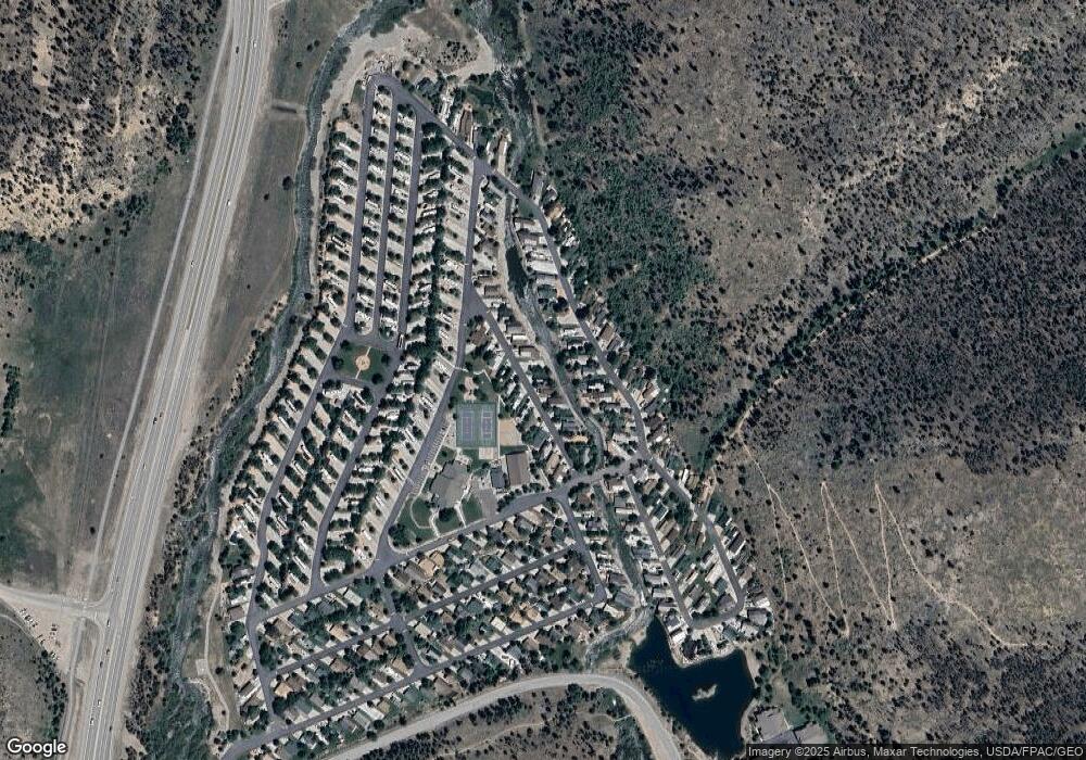
229 Cr 529 Breckenridge, CO 80424
Estimated Value: $1,898,000 - $2,926,000
4
Beds
3
Baths
2,268
Sq Ft
$1,088/Sq Ft
Est. Value
About This Home
This home is located at 229 Cr 529, Breckenridge, CO 80424 and is currently estimated at $2,468,000, approximately $1,088 per square foot. 229 Cr 529 is a home with nearby schools including Breckenridge Elementary School, Summit Middle School, and Summit High School.
Ownership History
Date
Name
Owned For
Owner Type
Purchase Details
Closed on
Apr 11, 2011
Sold by
Carlson Kenneth W and Carlson Diana W
Bought by
Colbourne Family Revocable Trust
Current Estimated Value
Purchase Details
Closed on
Aug 31, 2006
Sold by
Froese Steven and Froese Patricia
Bought by
Carlson Kenneth W and Carlson Diana W
Home Financials for this Owner
Home Financials are based on the most recent Mortgage that was taken out on this home.
Original Mortgage
$720,000
Interest Rate
6.75%
Mortgage Type
Adjustable Rate Mortgage/ARM
Create a Home Valuation Report for This Property
The Home Valuation Report is an in-depth analysis detailing your home's value as well as a comparison with similar homes in the area
Home Values in the Area
Average Home Value in this Area
Purchase History
| Date | Buyer | Sale Price | Title Company |
|---|---|---|---|
| Colbourne Family Revocable Trust | $823,000 | Land Title Guarantee Company | |
| Carlson Kenneth W | $900,000 | Land Title |
Source: Public Records
Mortgage History
| Date | Status | Borrower | Loan Amount |
|---|---|---|---|
| Previous Owner | Carlson Kenneth W | $720,000 |
Source: Public Records
Tax History Compared to Growth
Tax History
| Year | Tax Paid | Tax Assessment Tax Assessment Total Assessment is a certain percentage of the fair market value that is determined by local assessors to be the total taxable value of land and additions on the property. | Land | Improvement |
|---|---|---|---|---|
| 2024 | $6,733 | $140,559 | -- | -- |
| 2023 | $6,733 | $136,874 | $0 | $0 |
| 2022 | $4,530 | $86,180 | $0 | $0 |
| 2021 | $4,613 | $88,660 | $0 | $0 |
| 2020 | $4,391 | $83,697 | $0 | $0 |
| 2019 | $4,329 | $83,697 | $0 | $0 |
| 2018 | $3,890 | $72,872 | $0 | $0 |
| 2017 | $3,558 | $72,872 | $0 | $0 |
| 2016 | $3,285 | $66,263 | $0 | $0 |
| 2015 | $3,180 | $66,263 | $0 | $0 |
| 2014 | $3,096 | $63,664 | $0 | $0 |
| 2013 | -- | $63,664 | $0 | $0 |
Source: Public Records
Map
Nearby Homes
- 103 Cr 529
- 73 Illinois Gulch Rd Unit 8
- 304 Illinois Gulch Rd Unit 204
- 112 Illinois Gulch Rd Unit 6
- 328 535
- 328 S County Road 535
- 201 Bunker Hill Lode Rd Unit 6
- 2520 Boreas Pass Rd
- 67 Mary's Ridge Ln
- 88 Club House Rd
- 64 County Road 534 Unit 46
- 1120 Baldy Rd
- 120 Atlantic Lode Unit 3
- 120 Atlantic Lode Unit 1
- 52 Club House Rd Unit 44
- 247 S Fuller Placer Rd Unit 23
- 247 S Fuller Placer Rd
- 0072 Atlantic Lode
- 0072 Atlantic Lode Unit 5
- 57 Fuller Placer Rd Unit 1B
- 252 Cr 529
- 272 Cr 529
- 252 County Road 529
- 151 Cr 529
- 138 Cr 529
- 218 County Road 530
- 304 Cr 529
- 228 County Road 529
- 0232 Scr 529
- 0103 County Road 529
- 222 County Road 529
- 238 Cr 530
- 3216 Boreas Pass Rd
- 3212 Boreas Pass Rd
- 3272 Boreas Pass Rd
- 3312 Boreas Pass Rd
- 320 Cr 530
- 56 Hub Lode Rd Unit 17-3
- 56 Hub Lode Rd Unit 1
- 56 Hub Lode Rd Unit 2
