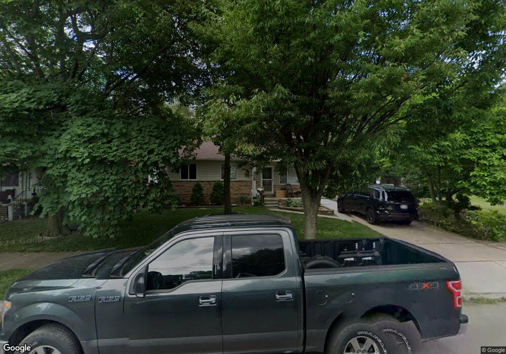
229 Crocker Blvd Mount Clemens, MI 48043
Estimated Value: $137,000 - $222,000
--
Bed
--
Bath
1,085
Sq Ft
$170/Sq Ft
Est. Value
About This Home
This home is located at 229 Crocker Blvd, Mount Clemens, MI 48043 and is currently estimated at $184,159, approximately $169 per square foot. 229 Crocker Blvd is a home located in Macomb County with nearby schools including Mount Clemens High School, Montessori Stepping Stones School, and St Mary Catholic School.
Ownership History
Date
Name
Owned For
Owner Type
Purchase Details
Closed on
Aug 10, 2001
Sold by
Pellegrom Steven
Bought by
Budnick Thomas H
Current Estimated Value
Home Financials for this Owner
Home Financials are based on the most recent Mortgage that was taken out on this home.
Original Mortgage
$133,000
Interest Rate
6.52%
Purchase Details
Closed on
Mar 26, 1996
Sold by
Pasko A
Bought by
Pellegrom S
Purchase Details
Closed on
Dec 21, 1994
Sold by
Clover Const Co
Bought by
Augustus Pasko
Create a Home Valuation Report for This Property
The Home Valuation Report is an in-depth analysis detailing your home's value as well as a comparison with similar homes in the area
Home Values in the Area
Average Home Value in this Area
Purchase History
| Date | Buyer | Sale Price | Title Company |
|---|---|---|---|
| Budnick Thomas H | $140,000 | -- | |
| Pellegrom S | $95,000 | -- | |
| Augustus Pasko | $82,900 | -- |
Source: Public Records
Mortgage History
| Date | Status | Borrower | Loan Amount |
|---|---|---|---|
| Previous Owner | Budnick Thomas H | $133,000 |
Source: Public Records
Tax History Compared to Growth
Tax History
| Year | Tax Paid | Tax Assessment Tax Assessment Total Assessment is a certain percentage of the fair market value that is determined by local assessors to be the total taxable value of land and additions on the property. | Land | Improvement |
|---|---|---|---|---|
| 2025 | $2,709 | $80,800 | $0 | $0 |
| 2024 | $2,639 | $72,600 | $0 | $0 |
| 2023 | $2,528 | $74,400 | $0 | $0 |
| 2022 | $2,443 | $68,000 | $0 | $0 |
| 2021 | $2,388 | $59,400 | $0 | $0 |
| 2020 | $2,268 | $53,900 | $0 | $0 |
| 2019 | $2,231 | $52,400 | $0 | $0 |
| 2018 | $2,187 | $47,100 | $0 | $0 |
| 2017 | $2,146 | $41,302 | $5,706 | $35,596 |
| 2016 | $2,138 | $41,302 | $0 | $0 |
| 2015 | $1,868 | $37,893 | $0 | $0 |
| 2013 | -- | $38,634 | $5,706 | $32,928 |
Source: Public Records
Map
Nearby Homes
- 190 Riverside Dr
- 167 Avery St
- 184 Dickinson St
- 260 Riverside Dr
- 104 Riverside Dr
- 44 Fessenden St
- 39058 Charbeneau St
- 88 Crocker Blvd
- 30 Mulligan Dr
- 38747 Harper Ave
- 41 Gibbs St
- 55 Meadle St
- 102 Michigan St
- 50 Michigan St
- 5 River Bluff Dr Unit 104B
- 38580 Asbury Park St
- 147 Barbara St
- 98 Northbound Gratiot Ave Unit 33
- 38481 Riverside Dr
- 24591 N River Rd
- 227 Crocker Blvd
- 235 Crocker Blvd
- 223 Crocker Blvd
- 120 Eastman St
- 243 Crocker Blvd
- 116 Eastman St
- 221 Crocker Blvd
- 136 Eastman St
- 112 Eastman St
- 247 Crocker Blvd
- 259 Crocker Blvd Unit 259 A
- 259 Crocker Blvd
- 269 Crocker Blvd
- 219 Crocker Blvd
- 220 Crocker Blvd
- 138 Eastman St
- 218 Crocker Blvd
- 110 Eastman St
- 222 Crocker Blvd
- 216 Crocker Blvd