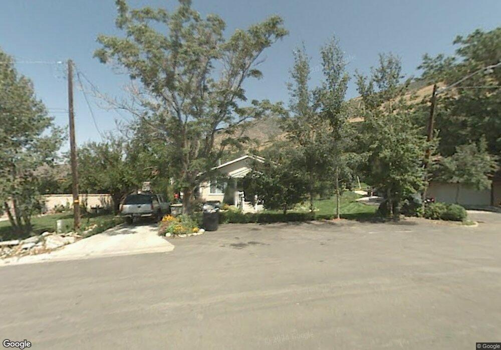
229 E 200 N Farmington, UT 84025
Estimated Value: $539,000 - $609,000
4
Beds
2
Baths
1,791
Sq Ft
$323/Sq Ft
Est. Value
About This Home
This home is located at 229 E 200 N, Farmington, UT 84025 and is currently estimated at $579,050, approximately $323 per square foot. 229 E 200 N is a home located in Davis County with nearby schools including Farmington Elementary School, Farmington High, and Farmington Junior High School.
Ownership History
Date
Name
Owned For
Owner Type
Purchase Details
Closed on
Jul 14, 2020
Sold by
Wahlstrom Kenneth and Wahlstrom Marienne
Bought by
Wahlstrom Kenneth and Wahlstrom Marienna
Current Estimated Value
Home Financials for this Owner
Home Financials are based on the most recent Mortgage that was taken out on this home.
Original Mortgage
$165,000
Interest Rate
2.7%
Mortgage Type
New Conventional
Purchase Details
Closed on
Jan 25, 2019
Sold by
Wahlstrom Kenneth A and Wahlstrom Marienne S
Bought by
Wahlstrom Kenneth and Wahlstrom Marienne
Purchase Details
Closed on
Feb 24, 2003
Sold by
Wahlstrom Kenneth A
Bought by
Wahlstrom Kenneth A and Wahlstrom Marienne S
Home Financials for this Owner
Home Financials are based on the most recent Mortgage that was taken out on this home.
Original Mortgage
$128,200
Interest Rate
5.93%
Create a Home Valuation Report for This Property
The Home Valuation Report is an in-depth analysis detailing your home's value as well as a comparison with similar homes in the area
Home Values in the Area
Average Home Value in this Area
Purchase History
| Date | Buyer | Sale Price | Title Company |
|---|---|---|---|
| Wahlstrom Kenneth | -- | Amrock Inc | |
| Wahlstrom Kenneth | -- | Amrock Inc | |
| Wahlstrom Kenneth | -- | None Available | |
| Wahlstrom Kenneth A | -- | Equity Title Agency | |
| Wahlstrom Kenneth A | -- | Equity Title Agency |
Source: Public Records
Mortgage History
| Date | Status | Borrower | Loan Amount |
|---|---|---|---|
| Closed | Wahlstrom Kenneth | $165,000 | |
| Closed | Wahlstrom Kenneth A | $128,200 |
Source: Public Records
Tax History Compared to Growth
Tax History
| Year | Tax Paid | Tax Assessment Tax Assessment Total Assessment is a certain percentage of the fair market value that is determined by local assessors to be the total taxable value of land and additions on the property. | Land | Improvement |
|---|---|---|---|---|
| 2024 | $3,070 | $306,900 | $161,887 | $145,013 |
| 2023 | $2,920 | $532,000 | $196,599 | $335,401 |
| 2022 | $2,924 | $302,500 | $108,942 | $193,558 |
| 2021 | $2,538 | $391,000 | $146,965 | $244,035 |
| 2020 | $2,304 | $346,000 | $122,290 | $223,710 |
| 2019 | $2,355 | $343,000 | $125,908 | $217,092 |
| 2018 | $2,181 | $313,000 | $124,720 | $188,280 |
| 2016 | $1,901 | $140,470 | $54,369 | $86,101 |
| 2015 | $1,887 | $132,330 | $54,369 | $77,961 |
| 2014 | $1,770 | $127,564 | $45,308 | $82,256 |
| 2013 | -- | $130,559 | $36,048 | $94,511 |
Source: Public Records
Map
Nearby Homes
- 292 N Flag Rock Dr
- 139 E 400 N
- 170 N Main St
- 79 S 300 E
- 334 E Cottrell Ln
- 13 Sunset Dr
- 21 N 100 W Unit 3
- 69 W Grove Creek Cir
- 1460 W 550 N Unit 166
- 2 Grayson Way N Unit 11
- 1504 W Kiera Court Ct N Unit 150
- 38 S 300 W
- 52 N 400 W
- 372 W Clark Cir
- 434 W 450 S Unit 815
- 1941 W 950 N Unit 1
- 1886 W 950 N Unit 3
- 250 S 200 W
- 247 Paulette Way
- 901 N Compton Rd