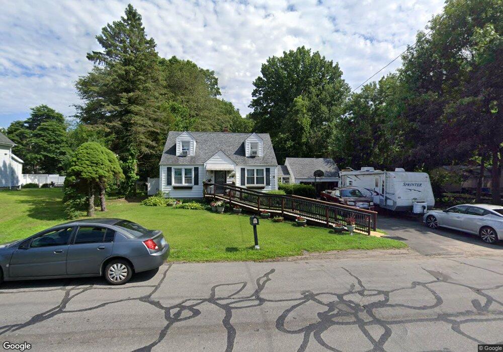
229 Eckart St Bridgeport, CT 06606
North End NeighborhoodEstimated Value: $460,000 - $512,268
4
Beds
2
Baths
1,312
Sq Ft
$368/Sq Ft
Est. Value
About This Home
This home is located at 229 Eckart St, Bridgeport, CT 06606 and is currently estimated at $482,817, approximately $368 per square foot. 229 Eckart St is a home located in Fairfield County with nearby schools including John Winthrop School, Central High School, and St Andrew School.
Ownership History
Date
Name
Owned For
Owner Type
Purchase Details
Closed on
Sep 24, 1999
Sold by
Moebus Alexander O and Moebus Alejandro
Bought by
Tomlin Ronald E
Current Estimated Value
Home Financials for this Owner
Home Financials are based on the most recent Mortgage that was taken out on this home.
Original Mortgage
$142,500
Interest Rate
8.1%
Purchase Details
Closed on
Jul 2, 1990
Sold by
Jepson Isabel
Bought by
Moebus Alexander
Create a Home Valuation Report for This Property
The Home Valuation Report is an in-depth analysis detailing your home's value as well as a comparison with similar homes in the area
Home Values in the Area
Average Home Value in this Area
Purchase History
| Date | Buyer | Sale Price | Title Company |
|---|---|---|---|
| Tomlin Ronald E | $150,000 | -- | |
| Tomlin Ronald E | $150,000 | -- | |
| Moebus Alexander | $120,000 | -- |
Source: Public Records
Mortgage History
| Date | Status | Borrower | Loan Amount |
|---|---|---|---|
| Open | Moebus Alexander | $169,000 | |
| Closed | Moebus Alexander | $160,000 | |
| Closed | Moebus Alexander | $142,500 |
Source: Public Records
Tax History
| Year | Tax Paid | Tax Assessment Tax Assessment Total Assessment is a certain percentage of the fair market value that is determined by local assessors to be the total taxable value of land and additions on the property. | Land | Improvement |
|---|---|---|---|---|
| 2025 | $7,762 | $178,640 | $99,200 | $79,440 |
| 2024 | $7,762 | $178,640 | $99,200 | $79,440 |
| 2023 | $7,762 | $178,640 | $99,200 | $79,440 |
| 2022 | $7,762 | $178,640 | $99,200 | $79,440 |
| 2021 | $7,762 | $178,640 | $99,200 | $79,440 |
| 2020 | $7,872 | $145,810 | $77,710 | $68,100 |
| 2019 | $7,872 | $145,810 | $77,710 | $68,100 |
| 2018 | $7,928 | $145,810 | $77,710 | $68,100 |
| 2017 | $7,928 | $145,810 | $77,710 | $68,100 |
| 2016 | $7,928 | $145,810 | $77,710 | $68,100 |
| 2015 | $7,060 | $167,310 | $76,410 | $90,900 |
| 2014 | $7,060 | $167,310 | $76,410 | $90,900 |
Source: Public Records
Map
Nearby Homes
- 3460 Old Town Rd
- 81 Lance Cir
- 3370 Madison Ave Unit 10B
- 3200 Madison Ave Unit 20
- 252 Bear Paw Rd
- 8 Raleigh Rd
- 2998 Madison Ave Unit C
- 66 Loftus Cir
- 121 Campbell Rd
- 99 Quinsey Dr
- 153 Cherry Hill Dr Unit 2B
- 81 Cherry Hill Dr Unit 1B
- 15 Cherry Hill Dr Unit 2A
- 230 Cherry Hill Dr Unit 2B
- 204 Cherry Hill Dr Unit 1B
- 2800 Madison Ave Unit 1B
- 50 Greenhouse Rd Unit 65D
- 50 Greenhouse Rd Unit 42C
- 50 Greenhouse Rd Unit 33C
- 394 Anton Dr