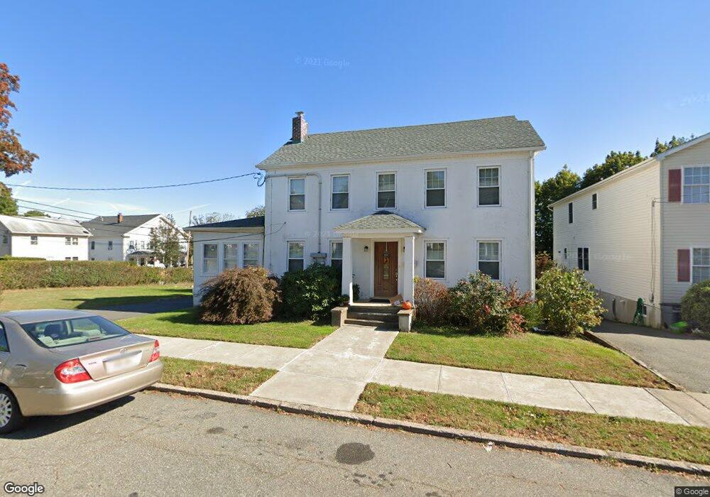
229 Green St Unit 1 Boonton, NJ 07005
Estimated Value: $570,000 - $628,000
3
Beds
2
Baths
2,279
Sq Ft
$259/Sq Ft
Est. Value
About This Home
This home is located at 229 Green St Unit 1, Boonton, NJ 07005 and is currently estimated at $589,670, approximately $258 per square foot. 229 Green St Unit 1 is a home located in Morris County with nearby schools including School Street Elementary School, John Hill Elementary School, and Boonton High School.
Ownership History
Date
Name
Owned For
Owner Type
Purchase Details
Closed on
Apr 24, 2015
Sold by
Ventures Trust 2013 I H By Mcm Captal La
Bought by
Boerstoal Albert
Current Estimated Value
Purchase Details
Closed on
Apr 9, 2015
Sold by
Lema Angel
Bought by
Bank Of America Na
Purchase Details
Closed on
Dec 19, 2003
Sold by
Makay Kimberly
Bought by
Lema Angel
Home Financials for this Owner
Home Financials are based on the most recent Mortgage that was taken out on this home.
Original Mortgage
$358,150
Interest Rate
5.88%
Purchase Details
Closed on
Jun 21, 2001
Sold by
Joyce Edward
Bought by
Makay Kim
Home Financials for this Owner
Home Financials are based on the most recent Mortgage that was taken out on this home.
Original Mortgage
$198,000
Interest Rate
7.14%
Create a Home Valuation Report for This Property
The Home Valuation Report is an in-depth analysis detailing your home's value as well as a comparison with similar homes in the area
Home Values in the Area
Average Home Value in this Area
Purchase History
| Date | Buyer | Sale Price | Title Company |
|---|---|---|---|
| Boerstoal Albert | $225,000 | Agent For Chicago Title Ins | |
| Bank Of America Na | -- | Attorney | |
| Lema Angel | $377,000 | -- | |
| Makay Kim | $220,000 | -- |
Source: Public Records
Mortgage History
| Date | Status | Borrower | Loan Amount |
|---|---|---|---|
| Previous Owner | Lema Angel | $358,150 | |
| Previous Owner | Makay Kim | $198,000 |
Source: Public Records
Tax History Compared to Growth
Tax History
| Year | Tax Paid | Tax Assessment Tax Assessment Total Assessment is a certain percentage of the fair market value that is determined by local assessors to be the total taxable value of land and additions on the property. | Land | Improvement |
|---|---|---|---|---|
| 2025 | $10,252 | $303,300 | $163,800 | $139,500 |
| 2024 | $9,982 | $303,300 | $163,800 | $139,500 |
| 2023 | $9,982 | $303,300 | $163,800 | $139,500 |
| 2022 | $9,460 | $303,300 | $163,800 | $139,500 |
| 2021 | $9,460 | $303,300 | $163,800 | $139,500 |
| 2020 | $9,069 | $303,300 | $163,800 | $139,500 |
| 2019 | $9,187 | $303,300 | $163,800 | $139,500 |
| 2018 | $8,944 | $303,300 | $163,800 | $139,500 |
| 2017 | $8,571 | $303,300 | $163,800 | $139,500 |
| 2016 | $7,989 | $290,300 | $163,800 | $126,500 |
| 2015 | $7,858 | $290,300 | $163,800 | $126,500 |
| 2014 | $7,684 | $290,300 | $163,800 | $126,500 |
Source: Public Records
Map
Nearby Homes
- 120 Birch St
- 919 Cedar St
- 414 Green St
- 609 Birch St
- 719 Hillside Ave
- 314 Cornelia St Unit 4
- 118 Addison St
- 331 Church St
- 209 William St
- 315 William St
- 712 Wootton St
- 411 William St
- 173 Lake Ave
- 646 Cornelia St
- 130 Lake Ave
- 319 Morris Ave
- 725 Cornelia St
- 153 Fairview Ave
- 134 Chestnut St
- 168 Kanouse St