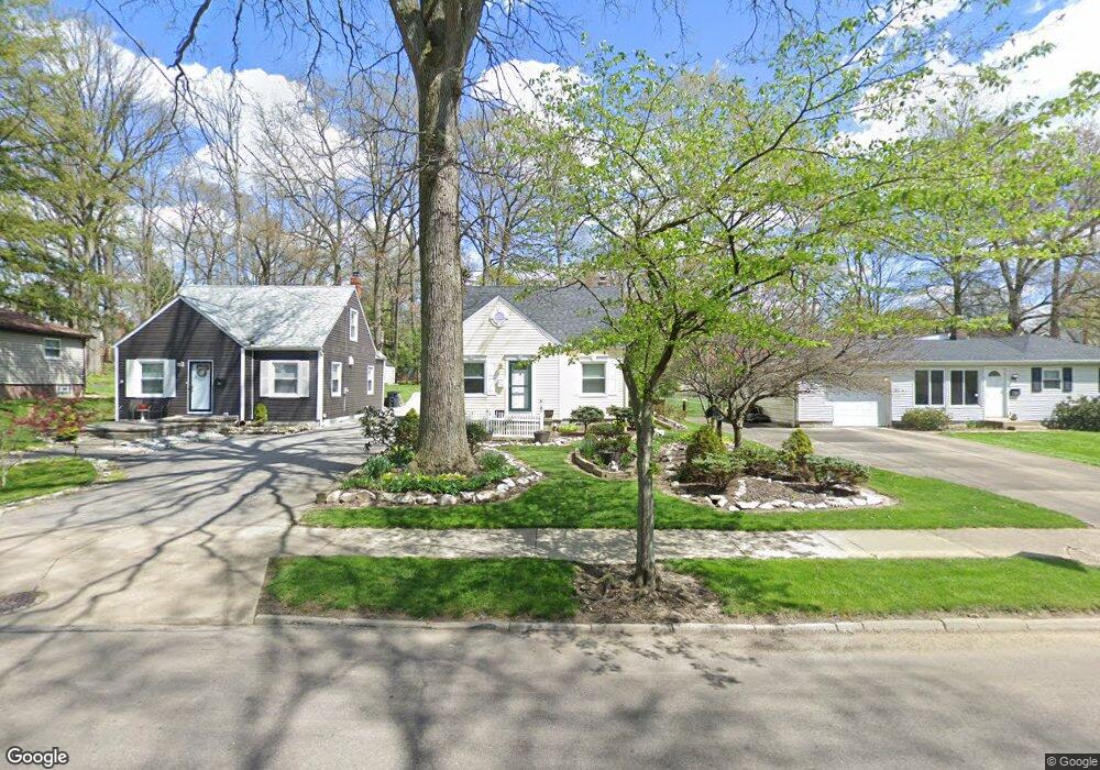
229 Harcourt Dr Akron, OH 44313
Wallhaven NeighborhoodEstimated Value: $188,000 - $200,974
2
Beds
2
Baths
814
Sq Ft
$236/Sq Ft
Est. Value
About This Home
This home is located at 229 Harcourt Dr, Akron, OH 44313 and is currently estimated at $192,494, approximately $236 per square foot. 229 Harcourt Dr is a home located in Summit County with nearby schools including Case Community Learning Center, Summit Academy School, and Our Lady Of The Elms Elementary School.
Ownership History
Date
Name
Owned For
Owner Type
Purchase Details
Closed on
Feb 6, 2017
Sold by
Adkins Patrick T and Adkins Velia
Bought by
Adkins Patrick T
Current Estimated Value
Purchase Details
Closed on
Jul 28, 1998
Sold by
Keefe James R
Bought by
Adkins Patrick T and Adkins Velia
Home Financials for this Owner
Home Financials are based on the most recent Mortgage that was taken out on this home.
Original Mortgage
$93,661
Outstanding Balance
$19,897
Interest Rate
7.13%
Mortgage Type
FHA
Estimated Equity
$172,597
Create a Home Valuation Report for This Property
The Home Valuation Report is an in-depth analysis detailing your home's value as well as a comparison with similar homes in the area
Home Values in the Area
Average Home Value in this Area
Purchase History
| Date | Buyer | Sale Price | Title Company |
|---|---|---|---|
| Adkins Patrick T | -- | None Available | |
| Adkins Patrick T | $94,000 | -- |
Source: Public Records
Mortgage History
| Date | Status | Borrower | Loan Amount |
|---|---|---|---|
| Open | Adkins Patrick T | $93,661 |
Source: Public Records
Tax History Compared to Growth
Tax History
| Year | Tax Paid | Tax Assessment Tax Assessment Total Assessment is a certain percentage of the fair market value that is determined by local assessors to be the total taxable value of land and additions on the property. | Land | Improvement |
|---|---|---|---|---|
| 2025 | $3,023 | $56,575 | $13,332 | $43,243 |
| 2024 | $3,023 | $56,575 | $13,332 | $43,243 |
| 2023 | $3,023 | $56,575 | $13,332 | $43,243 |
| 2022 | $2,966 | $43,600 | $10,175 | $33,425 |
| 2021 | $2,969 | $43,600 | $10,175 | $33,425 |
| 2020 | $2,925 | $43,610 | $10,180 | $33,430 |
| 2019 | $2,747 | $37,080 | $9,870 | $27,210 |
| 2018 | $2,650 | $37,080 | $9,870 | $27,210 |
| 2017 | $2,693 | $37,080 | $9,870 | $27,210 |
| 2016 | $2,695 | $37,080 | $9,870 | $27,210 |
| 2015 | $2,693 | $37,080 | $9,870 | $27,210 |
| 2014 | $2,671 | $37,080 | $9,870 | $27,210 |
| 2013 | $2,398 | $33,910 | $9,870 | $24,040 |
Source: Public Records
Map
Nearby Homes
- 297 Harcourt Dr
- 325 Melbourne Ave
- 254 Castle Blvd
- 284 Kenilworth Dr
- 101 N Hawkins Ave
- 242 N Hawkins Ave
- 100 N Hawkins Ave
- 423 Foursome Ave
- 237 Hollywood Ave
- 432 Auburndale Ave
- 1623 Liberty Dr Unit 1625
- 1633-1635 Liberty Dr
- 431 Molane Ave
- 1159 Garman Rd
- 1688 Tanglewood Dr Unit 1690
- 1485 W Market St
- 68 Kenilworth Dr
- 1607 W Exchange St
- 1725 Liberty Dr Unit 1727
- 2040 Thurmont Rd
- 233 Harcourt Dr
- 223 Harcourt Dr
- 241 Harcourt Dr
- 215 Harcourt Dr
- 245 Harcourt Dr
- 250 Melbourne Ave
- 246 Melbourne Ave
- 260 Melbourne Ave
- 1369 Bryden Dr
- 236 Melbourne Ave
- 209 Harcourt Dr
- 236 Harcourt Dr
- 263 Harcourt Dr
- 266 Melbourne Ave
- 240 Harcourt Dr
- 1364 Bryden Dr
- 203 Harcourt Dr
- 248 Harcourt Dr
- 230 Melbourne Ave
- 1370 Bryden Dr