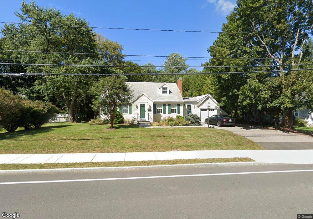
229 Hartford St Westwood, MA 02090
Estimated Value: $923,000 - $1,054,000
3
Beds
3
Baths
1,613
Sq Ft
$611/Sq Ft
Est. Value
About This Home
This home is located at 229 Hartford St, Westwood, MA 02090 and is currently estimated at $985,173, approximately $610 per square foot. 229 Hartford St is a home located in Norfolk County with nearby schools including Westwood High School, St Catherine Of Siena School, and Xaverian Brothers High School.
Create a Home Valuation Report for This Property
The Home Valuation Report is an in-depth analysis detailing your home's value as well as a comparison with similar homes in the area
Home Values in the Area
Average Home Value in this Area
Tax History Compared to Growth
Tax History
| Year | Tax Paid | Tax Assessment Tax Assessment Total Assessment is a certain percentage of the fair market value that is determined by local assessors to be the total taxable value of land and additions on the property. | Land | Improvement |
|---|---|---|---|---|
| 2025 | $9,943 | $776,800 | $446,600 | $330,200 |
| 2024 | $9,510 | $742,400 | $425,300 | $317,100 |
| 2023 | $8,477 | $592,800 | $354,400 | $238,400 |
| 2022 | $8,181 | $551,650 | $313,300 | $238,350 |
| 2021 | $8,341 | $564,350 | $298,450 | $265,900 |
| 2020 | $7,885 | $543,400 | $298,450 | $244,950 |
| 2019 | $7,656 | $522,600 | $284,250 | $238,350 |
| 2018 | $7,304 | $484,000 | $284,250 | $199,750 |
| 2017 | $7,066 | $484,950 | $284,250 | $200,700 |
| 2016 | $6,973 | $475,650 | $284,250 | $191,400 |
| 2015 | $6,760 | $443,550 | $284,250 | $159,300 |
Source: Public Records
Map
Nearby Homes
- 207 Hartford St
- 197 Hartford St
- 60 Warwick Dr
- 4 Shoestring Ln
- 49 Fisher St
- 36 Kingswood Rd
- 39 Bayley St
- 140 Burgess Ave
- 132 Thatcher St
- 95 Arcadia Rd
- 401 Sandy Valley Rd
- 20 Longmeadow Dr
- 151 Arcadia Rd
- 14 Ruel Dr
- 618 Nahatan St
- 17 Royal Ct
- 90 Blueberry Ln
- 26 Longmeadow Dr
- 11 Stonegate Dr
- 9 Stonegate Dr