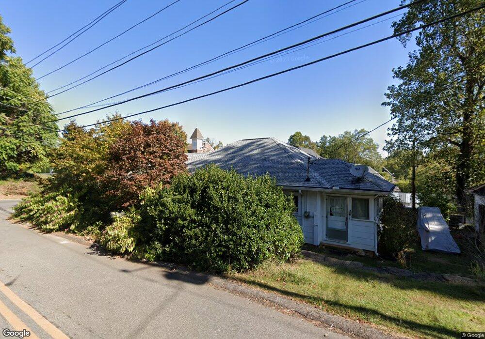
229 Hawkins St Dahlonega, GA 30533
Estimated Value: $419,000 - $530,000
3
Beds
2
Baths
1,428
Sq Ft
$337/Sq Ft
Est. Value
About This Home
This home is located at 229 Hawkins St, Dahlonega, GA 30533 and is currently estimated at $481,562, approximately $337 per square foot. 229 Hawkins St is a home located in Lumpkin County with nearby schools including Clay County Middle School and Lumpkin County High School.
Ownership History
Date
Name
Owned For
Owner Type
Purchase Details
Closed on
May 13, 2022
Sold by
Mott Rose B
Bought by
Roellgen Erin Suzanne and Woody Paul Conrad
Current Estimated Value
Purchase Details
Closed on
Jul 3, 2013
Sold by
Walls Woodrow W
Bought by
Mott Rose B and Mott Wynnton H
Purchase Details
Closed on
Sep 14, 2007
Sold by
Not Provided
Bought by
Walls Woodrow W and Walls Deborah S
Purchase Details
Closed on
Aug 11, 1998
Sold by
Deborah S
Bought by
Walls Woodrow W
Purchase Details
Closed on
Jul 31, 1989
Sold by
Deborah S
Bought by
Walls Woodrow W
Create a Home Valuation Report for This Property
The Home Valuation Report is an in-depth analysis detailing your home's value as well as a comparison with similar homes in the area
Home Values in the Area
Average Home Value in this Area
Purchase History
| Date | Buyer | Sale Price | Title Company |
|---|---|---|---|
| Roellgen Erin Suzanne | $450,000 | -- | |
| Mott Rose B | $169,000 | -- | |
| Walls Woodrow W | -- | -- | |
| Walls Woodrow W | -- | -- | |
| Walls Woodrow W | $65,000 | -- |
Source: Public Records
Tax History Compared to Growth
Tax History
| Year | Tax Paid | Tax Assessment Tax Assessment Total Assessment is a certain percentage of the fair market value that is determined by local assessors to be the total taxable value of land and additions on the property. | Land | Improvement |
|---|---|---|---|---|
| 2024 | $3,055 | $111,404 | $12,000 | $99,404 |
| 2023 | $2,446 | $104,560 | $12,000 | $92,560 |
| 2022 | $1,307 | $42,771 | $12,000 | $30,771 |
| 2021 | $1,208 | $37,033 | $12,000 | $25,033 |
| 2020 | $1,229 | $36,248 | $12,000 | $24,248 |
| 2019 | $1,235 | $36,248 | $12,000 | $24,248 |
| 2018 | $1,216 | $33,397 | $12,000 | $21,397 |
| 2017 | $1,243 | $33,578 | $12,000 | $21,578 |
| 2016 | $1,189 | $31,426 | $12,000 | $19,426 |
| 2015 | $1,028 | $31,426 | $12,000 | $19,426 |
| 2014 | $1,028 | $31,776 | $12,000 | $19,776 |
| 2013 | -- | $32,474 | $12,000 | $20,474 |
Source: Public Records
Map
Nearby Homes
- 315 Church St
- 168 W Main St
- 0 S Chestatee St Unit 10619536
- 399 N Chestatee St
- 95 Jones St
- 0 Highway 19 N Unit 10594984
- 1392 S Chestatee St
- 120 Riley Rd
- 329 Morrison Moore Pkwy E
- 6480A Highway 52
- 0 Calhoun Rd Unit 7643314
- 0 Calhoun Rd Unit 10598012
- 00 Calhoun Rd
- 0 Highway 60 Unit 7241582
- 0 Highway 9 S Unit 10487179
- 0 Highway 9 S Unit 7548614
- 502 Wimpy Mill Rd
- 94 Mountain View Dr
- 0 Alicia Ln
- 0 Crown Mountain Unit 7682225
- 217 Hawkins St
- 150 Warwick St
- 201 Hawkins St
- 24 Vickery Dr
- 257 Hawkins St
- 277 Hawkins St
- 169 Hawkins St Unit 179
- 220 Warwick St
- 273 Church St
- 258 Hawkins St
- 259 Church St
- 135 N Chestatee St
- 126 W Main St
- 236 Warwick St
- 35 N Chestatee St
- 169179 Hawkins St
- 129 Hawkins St
- 29 N Chestatee St
- 132 Hawkins St
- 168 W West Main St