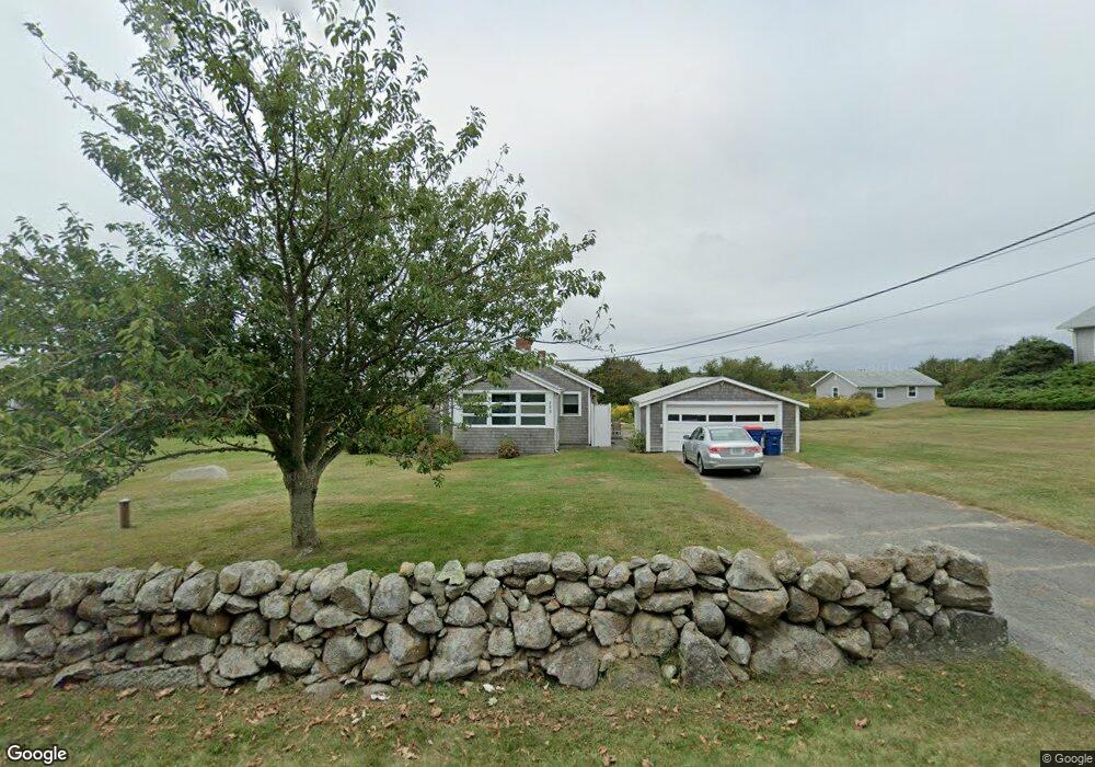
229 Howland Rd Westport, MA 02790
Acoaxet NeighborhoodEstimated Value: $959,000 - $1,622,000
3
Beds
2
Baths
1,188
Sq Ft
$1,105/Sq Ft
Est. Value
About This Home
This home is located at 229 Howland Rd, Westport, MA 02790 and is currently estimated at $1,312,549, approximately $1,104 per square foot. 229 Howland Rd is a home located in Bristol County with nearby schools including Alice A. Macomber Primary School, Westport Elementary School, and Westport Middle-High School.
Ownership History
Date
Name
Owned For
Owner Type
Purchase Details
Closed on
Aug 7, 2009
Sold by
Gaudet Albert J and Gaudet Mary L
Bought by
Gaudet Albert J and Gaudet Ary L
Current Estimated Value
Purchase Details
Closed on
Jun 27, 2001
Sold by
Wright Ronald H
Bought by
Gaudet Albert J and Gaudet Mary L
Home Financials for this Owner
Home Financials are based on the most recent Mortgage that was taken out on this home.
Original Mortgage
$319,200
Interest Rate
7.14%
Mortgage Type
Purchase Money Mortgage
Purchase Details
Closed on
Oct 15, 1992
Sold by
Wright Ronald H
Bought by
Becker Bruce M and Becker Tanya J
Create a Home Valuation Report for This Property
The Home Valuation Report is an in-depth analysis detailing your home's value as well as a comparison with similar homes in the area
Home Values in the Area
Average Home Value in this Area
Purchase History
| Date | Buyer | Sale Price | Title Company |
|---|---|---|---|
| Gaudet Albert J | -- | -- | |
| Gaudet Albert J | $399,000 | -- | |
| Becker Bruce M | $30,000 | -- |
Source: Public Records
Mortgage History
| Date | Status | Borrower | Loan Amount |
|---|---|---|---|
| Open | Becker Bruce M | $250,000 | |
| Previous Owner | Becker Bruce M | $319,200 |
Source: Public Records
Tax History Compared to Growth
Tax History
| Year | Tax Paid | Tax Assessment Tax Assessment Total Assessment is a certain percentage of the fair market value that is determined by local assessors to be the total taxable value of land and additions on the property. | Land | Improvement |
|---|---|---|---|---|
| 2025 | $7,916 | $1,062,600 | $865,900 | $196,700 |
| 2024 | $7,701 | $996,300 | $802,200 | $194,100 |
| 2023 | $7,683 | $941,600 | $764,000 | $177,600 |
| 2022 | $7,767 | $915,900 | $764,000 | $151,900 |
| 2021 | $6,667 | $773,400 | $664,400 | $109,000 |
| 2020 | $6,175 | $732,500 | $637,800 | $94,700 |
| 2019 | $7,026 | $849,600 | $753,800 | $95,800 |
| 2018 | $6,042 | $739,500 | $681,500 | $58,000 |
| 2017 | $5,849 | $733,900 | $676,500 | $57,400 |
| 2016 | $5,793 | $732,400 | $676,500 | $55,900 |
| 2015 | $5,289 | $666,900 | $613,900 | $53,000 |
Source: Public Records
Map
Nearby Homes
- 189 Brayton Point Rd
- 304 Brayton Point Rd
- 19 Seabury Ln
- 255 John Dyer Rd
- 18 Old Barn Rd
- 1881 Main Rd
- 1749 Main Rd
- 128 Maple Ave
- 0 Reed Rd (Ss)
- 245 John Dyer Rd
- 1580 Main Rd
- 505 Long Hwy
- 141 S Of Commons Rd
- 1702J Drift Rd
- 1702 Drift Rd
- 1346 Main Rd Unit B
- 0 Willow Ave
- 17 Quail Trail
- 116 Amy Hart Path
- 576 W Main Rd
- 223 Howland Rd
- 239 Howland Rd
- 15 Richmond Pond Dr
- 17 Richmond Pond Ln
- 3 Hillside Rd
- 15 Richmond Pond Ln
- 15 Richmond Pond Ln
- 243 Howland Rd
- 13 Richmond Pond Ln
- 7 Hillside Rd
- 19 Richmond Pond Ln
- 214 Howland Rd
- 246 Howland Rd
- 11 Richmond Pond Ln
- 249 Howland Rd
- 11 Richmond Pond Dr
- 220 Howland Rd
- 19A Hillside Rd
- 19 Hillside Rd
- 252 Howland Rd