229 Langshire Dr McDonough, GA 30253
Estimated Value: $644,759 - $742,000
6
Beds
5
Baths
4,474
Sq Ft
$155/Sq Ft
Est. Value
About This Home
This home is located at 229 Langshire Dr, McDonough, GA 30253 and is currently estimated at $692,190, approximately $154 per square foot. 229 Langshire Dr is a home located in Henry County with nearby schools including Flippen Elementary School, Eagle's Landing Middle School, and Eagle's Landing High School.
Ownership History
Date
Name
Owned For
Owner Type
Purchase Details
Closed on
Dec 9, 2009
Sold by
Heritage Bk
Bought by
Rao Hemdatt and Patel Nikhil
Current Estimated Value
Home Financials for this Owner
Home Financials are based on the most recent Mortgage that was taken out on this home.
Original Mortgage
$208,587
Outstanding Balance
$134,940
Interest Rate
4.82%
Mortgage Type
FHA
Estimated Equity
$557,250
Purchase Details
Closed on
Nov 15, 2005
Sold by
Bec Properties & Holdings Llc
Bought by
C & M Home Builders Inc
Create a Home Valuation Report for This Property
The Home Valuation Report is an in-depth analysis detailing your home's value as well as a comparison with similar homes in the area
Home Values in the Area
Average Home Value in this Area
Purchase History
| Date | Buyer | Sale Price | Title Company |
|---|---|---|---|
| Rao Hemdatt | $305,000 | -- | |
| C & M Home Builders Inc | $1,904,000 | -- |
Source: Public Records
Mortgage History
| Date | Status | Borrower | Loan Amount |
|---|---|---|---|
| Open | Rao Hemdatt | $208,587 |
Source: Public Records
Tax History Compared to Growth
Tax History
| Year | Tax Paid | Tax Assessment Tax Assessment Total Assessment is a certain percentage of the fair market value that is determined by local assessors to be the total taxable value of land and additions on the property. | Land | Improvement |
|---|---|---|---|---|
| 2025 | $7,503 | $228,720 | $24,000 | $204,720 |
| 2024 | $7,503 | $235,800 | $24,000 | $211,800 |
| 2023 | $6,723 | $209,680 | $18,000 | $191,680 |
| 2022 | $6,332 | $195,480 | $24,000 | $171,480 |
| 2021 | $5,575 | $163,520 | $18,000 | $145,520 |
| 2020 | $5,347 | $153,880 | $18,000 | $135,880 |
| 2019 | $5,183 | $149,600 | $18,000 | $131,600 |
| 2018 | $4,753 | $131,360 | $18,000 | $113,360 |
| 2016 | $4,468 | $119,320 | $10,000 | $109,320 |
| 2015 | $4,628 | $120,840 | $10,000 | $110,840 |
| 2014 | $4,057 | $104,240 | $10,000 | $94,240 |
Source: Public Records
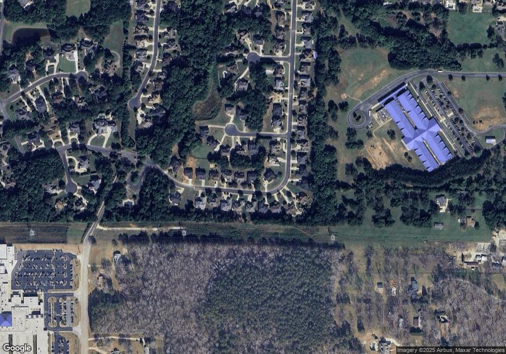
Map
Nearby Homes
- 268 Langshire Dr
- 276 Langshire Dr
- 104 Inverrary Ct
- 315 Montrose Dr
- 380 Peach Dr
- 105 Elberta St
- 0 Tunis Rd Unit 10544344
- 101 Elberta St
- 156 Orchard Park Dr
- 304 Tunis Rd
- 241 Winthrop Ln
- 213 Saint Andrews Ct
- 363 Chase Marion Way
- 160 Windy Cir
- 221 Fenwick Cir Unit 221
- 75 Maygold St
- 121 Weldon Rd
- 125 Weldon Rd Unit 64
- 125 Weldon Rd
- 133 Weldon Rd Unit 62
- 225 Langshire Dr
- 245 Langshire Dr
- 255 Langshire Dr
- 505 Bingham Dr
- 221 Langshire Dr
- 509 Bingham Dr
- 509 Bingham Dr Unit 3
- 228 Langshire Dr
- 228 Langshire Dr Unit 34
- 501 Bingham Dr
- 224 Langshire Dr Unit 35
- 224 Langshire Dr
- 513 Bingham Dr
- 232 Langshire Dr
- 217 Langshire Dr
- 0 Bingham Dr Unit 7432602
- 0 Bingham Dr Unit 7408452
- 0 Bingham Dr Unit 8797186
- 0 Bingham Dr Unit 7111800
- 0 Bingham Dr Unit 8798686