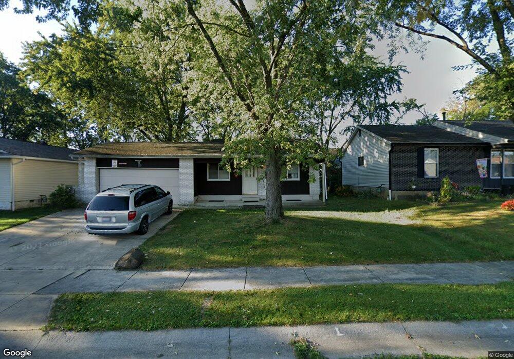
229 Lonepine Rd Delaware, OH 43015
Estimated Value: $243,000 - $308,000
4
Beds
2
Baths
1,484
Sq Ft
$186/Sq Ft
Est. Value
About This Home
This home is located at 229 Lonepine Rd, Delaware, OH 43015 and is currently estimated at $275,399, approximately $185 per square foot. 229 Lonepine Rd is a home located in Delaware County with nearby schools including Laura Woodward Elementary School, John C. Dempsey Middle School, and Rutherford B. Hayes High School.
Ownership History
Date
Name
Owned For
Owner Type
Purchase Details
Closed on
Aug 24, 2021
Sold by
Ryan James Allen and Ryan Leona M
Bought by
Ryan James Allen
Current Estimated Value
Purchase Details
Closed on
Apr 17, 1998
Sold by
Lewis John H
Bought by
Ryan James A Leona M
Purchase Details
Closed on
May 13, 1996
Sold by
Foreman Nancy J
Bought by
Lewis John H and Lewis Mary T
Home Financials for this Owner
Home Financials are based on the most recent Mortgage that was taken out on this home.
Original Mortgage
$89,264
Interest Rate
7.78%
Mortgage Type
FHA
Create a Home Valuation Report for This Property
The Home Valuation Report is an in-depth analysis detailing your home's value as well as a comparison with similar homes in the area
Home Values in the Area
Average Home Value in this Area
Purchase History
| Date | Buyer | Sale Price | Title Company |
|---|---|---|---|
| Ryan James Allen | -- | None Available | |
| Ryan James A Leona M | $75,000 | -- | |
| Lewis John H | $88,900 | -- |
Source: Public Records
Mortgage History
| Date | Status | Borrower | Loan Amount |
|---|---|---|---|
| Previous Owner | Lewis John H | $89,264 |
Source: Public Records
Tax History
| Year | Tax Paid | Tax Assessment Tax Assessment Total Assessment is a certain percentage of the fair market value that is determined by local assessors to be the total taxable value of land and additions on the property. | Land | Improvement |
|---|---|---|---|---|
| 2024 | $3,743 | $77,360 | $14,530 | $62,830 |
| 2023 | $3,750 | $77,360 | $14,530 | $62,830 |
| 2022 | $2,876 | $51,520 | $10,080 | $41,440 |
| 2021 | $2,383 | $51,520 | $10,080 | $41,440 |
| 2020 | $2,410 | $51,520 | $10,080 | $41,440 |
| 2019 | $1,983 | $40,640 | $8,750 | $31,890 |
| 2018 | $2,010 | $40,640 | $8,750 | $31,890 |
| 2017 | $1,823 | $38,890 | $6,790 | $32,100 |
| 2016 | $1,734 | $38,890 | $6,790 | $32,100 |
| 2015 | $1,743 | $38,890 | $6,790 | $32,100 |
| 2014 | $1,771 | $38,890 | $6,790 | $32,100 |
| 2013 | $1,781 | $38,890 | $6,790 | $32,100 |
Source: Public Records
Map
Nearby Homes
- 247 Lonepine Rd
- 13 Birch Row Dr
- 65 Yorkshire Rd
- 19 Winter Pine Dr
- 1211 Rivercrest Dr S Unit E
- 65 Neil St
- 53 Neil St
- 5 Spring Lake Ct
- 1410 Stratford Rd
- 34 Stilson St
- 1417 Missouri Ave Unit 1413M
- 980 Pollock Rd
- 168 London Rd
- 63 Coldstone Ct
- 7 Maple St
- 70 Tabilore Loop
- 684 South St
- 144 Wagner Way
- 45 Elba Crt
- 161 Ash St
Your Personal Tour Guide
Ask me questions while you tour the home.