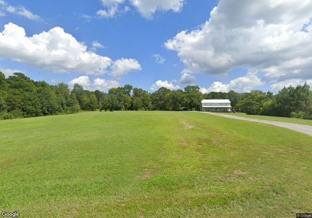
229 Mount Tabor Rd Union Grove, AL 35175
Estimated Value: $80,000
3
Beds
2
Baths
1,280
Sq Ft
$62/Sq Ft
Est. Value
About This Home
This home is located at 229 Mount Tabor Rd, Union Grove, AL 35175 and is currently estimated at $80,000, approximately $62 per square foot. 229 Mount Tabor Rd is a home located in Marshall County with nearby schools including Brindlee Mountain Elementary School, Brindlee Mountain Primary School, and Brindlee Mt Middle School.
Ownership History
Date
Name
Owned For
Owner Type
Purchase Details
Closed on
Oct 12, 2016
Sold by
Plavec Pugh Myria Chastain and Plavec Thomas Dorothy
Bought by
Livingston Carlton S and Livingston Julie L
Current Estimated Value
Home Financials for this Owner
Home Financials are based on the most recent Mortgage that was taken out on this home.
Original Mortgage
$21,500
Outstanding Balance
$10,069
Interest Rate
3.44%
Mortgage Type
New Conventional
Estimated Equity
$69,931
Purchase Details
Closed on
Oct 27, 2008
Sold by
Kinney Thomas V and Kinney Jennifer D
Bought by
Thomas Dorothy Plavec and Chastain Myria J
Create a Home Valuation Report for This Property
The Home Valuation Report is an in-depth analysis detailing your home's value as well as a comparison with similar homes in the area
Home Values in the Area
Average Home Value in this Area
Purchase History
| Date | Buyer | Sale Price | Title Company |
|---|---|---|---|
| Livingston Carlton S | $100 | None Available | |
| Thomas Dorothy Plavec | -- | None Available |
Source: Public Records
Mortgage History
| Date | Status | Borrower | Loan Amount |
|---|---|---|---|
| Open | Livingston Carlton S | $21,500 |
Source: Public Records
Tax History Compared to Growth
Tax History
| Year | Tax Paid | Tax Assessment Tax Assessment Total Assessment is a certain percentage of the fair market value that is determined by local assessors to be the total taxable value of land and additions on the property. | Land | Improvement |
|---|---|---|---|---|
| 2024 | -- | $2,360 | $0 | $0 |
| 2023 | $0 | $2,360 | $2,360 | $0 |
| 2022 | $0 | $2,360 | $0 | $0 |
| 2021 | $89 | $2,360 | $0 | $0 |
| 2020 | $70 | $1,860 | $0 | $0 |
| 2017 | $177 | $1,860 | $0 | $0 |
| 2015 | -- | $7,040 | $0 | $0 |
| 2014 | -- | $3,620 | $0 | $0 |
Source: Public Records
Map
Nearby Homes
- 54 Oak Ridge Place
- 86 Oak Ridge Way
- Lot 106 & 107 Creekwood Dr
- 128 Savannah Cir
- Lot 224 Woodmont Dr
- Lot 223 Woodmont Dr
- Lot 225 Woodmont Dr
- 248 Woodmont Dr
- Lot 43 Savannah Cir
- 162 Ridgewood Cir
- 2450 Cherokee Ridge Dr
- 2841 Cherokee Ridge Dr
- Lot 2 Timberlake Dr
- 463 Hickory Cir
- Lot 247 Cherokee Ridge Ct
- 295 N Ridge Dr
- 1439 Cherokee Ridge Dr
- 3056 Cherokee Ridge Dr
- 65 Turning Leaf
- 53 Turning Leaf
- 245 Mount Tabor Rd
- 1547 Rescue Rd
- 256 Mount Tabor Rd
- 299 Mount Tabor Rd
- 274 Mount Tabor Rd
- 110 Mount Tabor Rd
- 39 Mount Tabor Rd
- 220 Mount Tabor Rd
- 1583 Rescue Rd
- 1669 Rescue Rd
- 1624 Rescue Rd
- 1715 Rescue Rd
- 51 Oak Place
- 51 Oak Place
- 51 Oak Place Unit 17
- 1682 Rescue Rd
- 51 Oak Place
- 1433 Rescue Rd
- 50 Oak Place Unit 19
- 50 Oak Place