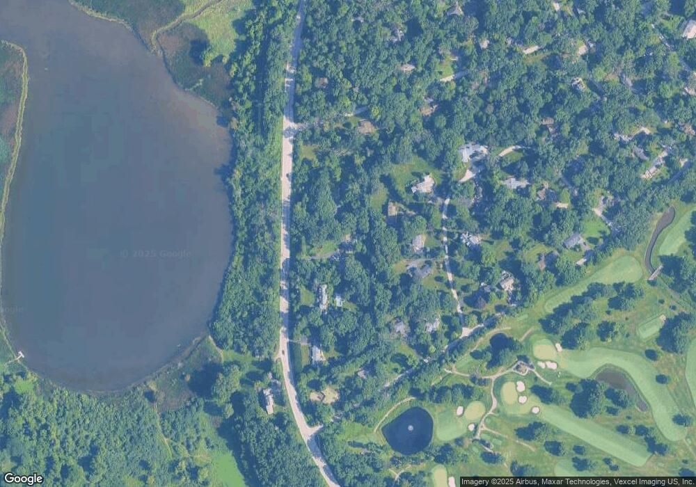
229 N Il Route 59 Barrington, IL 60010
Estimated Value: $642,000 - $927,000
--
Bed
3
Baths
2,556
Sq Ft
$280/Sq Ft
Est. Value
About This Home
This home is located at 229 N Il Route 59, Barrington, IL 60010 and is currently estimated at $716,437, approximately $280 per square foot. 229 N Il Route 59 is a home located in Lake County with nearby schools including North Barrington Elementary School, Barrington Mdle School- Prairie Cmps, and Barrington High School.
Ownership History
Date
Name
Owned For
Owner Type
Purchase Details
Closed on
Mar 22, 2002
Sold by
Buckley Stephan S
Bought by
Kelly Michael B and Kelly Jill H
Current Estimated Value
Home Financials for this Owner
Home Financials are based on the most recent Mortgage that was taken out on this home.
Original Mortgage
$235,000
Interest Rate
6.93%
Mortgage Type
Balloon
Purchase Details
Closed on
Dec 1, 1999
Sold by
Revoca Talbot Grimshaw Lynne D
Bought by
Buckley Stephan S
Home Financials for this Owner
Home Financials are based on the most recent Mortgage that was taken out on this home.
Original Mortgage
$290,000
Interest Rate
8%
Mortgage Type
Credit Line Revolving
Purchase Details
Closed on
Apr 25, 1994
Sold by
Talbot Lynne D
Bought by
Talbot Grimshaw Lynne D
Create a Home Valuation Report for This Property
The Home Valuation Report is an in-depth analysis detailing your home's value as well as a comparison with similar homes in the area
Home Values in the Area
Average Home Value in this Area
Purchase History
| Date | Buyer | Sale Price | Title Company |
|---|---|---|---|
| Kelly Michael B | $385,000 | -- | |
| Buckley Stephan S | $325,000 | Mid America Title Company | |
| Talbot Grimshaw Lynne D | -- | -- |
Source: Public Records
Mortgage History
| Date | Status | Borrower | Loan Amount |
|---|---|---|---|
| Closed | Kelly Michael B | $235,000 | |
| Previous Owner | Buckley Stephan S | $290,000 |
Source: Public Records
Tax History Compared to Growth
Tax History
| Year | Tax Paid | Tax Assessment Tax Assessment Total Assessment is a certain percentage of the fair market value that is determined by local assessors to be the total taxable value of land and additions on the property. | Land | Improvement |
|---|---|---|---|---|
| 2024 | $13,044 | $199,999 | $41,545 | $158,454 |
| 2023 | $10,465 | $190,218 | $39,379 | $150,839 |
| 2022 | $10,465 | $151,692 | $44,550 | $107,142 |
| 2021 | $10,337 | $149,112 | $43,792 | $105,320 |
| 2020 | $10,056 | $148,652 | $43,657 | $104,995 |
| 2019 | $12,487 | $185,738 | $42,505 | $143,233 |
| 2018 | $9,999 | $154,513 | $50,547 | $103,966 |
| 2017 | $9,866 | $151,410 | $49,532 | $101,878 |
| 2016 | $9,784 | $145,699 | $47,664 | $98,035 |
| 2015 | $9,191 | $142,244 | $44,705 | $97,539 |
| 2014 | $10,055 | $140,128 | $49,709 | $90,419 |
| 2012 | $9,745 | $142,537 | $50,564 | $91,973 |
Source: Public Records
Map
Nearby Homes
- 600 Eton Dr
- 208 Biltmore Dr
- 25 Shoreline Rd Unit B
- 240 Oxford Rd
- 78 Foxwood Ln Unit M169
- 59 Thornhill Ln Unit K176
- 557 Signal Hill Rd
- 68 Thornhill Ln
- 220 Thornhill Ct Unit D
- 209 Shoreline Rd Unit B
- 321 Shoreline Rd Unit D
- 24334 N Grandview Dr
- 294 Mallard Point Unit A
- 868 Longmeadow Ct Unit 1006
- 455 Eton Dr
- 928 Longmeadow Ct Unit 1016
- 315 Bluff Ct Unit C
- 404 N Shoreline Rd Unit 298
- 970 Longmeadow Ct
- 535 Woodview Rd
- 239 N Il Route 59
- 234 Crooked Ln
- 239 Illinois Route 59
- 230 Crooked Ln
- 223 N Il Route 59 Unit 2
- 226 Crooked Ln Unit 2
- 236 Crooked Ln
- 598 Golfview Dr
- 594 Golfview Dr
- 605 Eton Dr
- 215 N Il Route 59
- 231 Crooked Ln
- 604 Golfview Dr
- 235 Crooked Ln
- 608 Eton Dr
- 586 Golfview Dr
- 606 Eton Dr
- 610 Golfview Dr
- 597 Eton Dr Unit 2
- 590 Crooked Ln Unit 2
