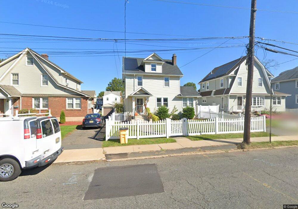
229 Passaic Ave Hasbrouck Heights, NJ 07604
Estimated Value: $703,000 - $823,780
--
Bed
--
Bath
2,036
Sq Ft
$376/Sq Ft
Est. Value
About This Home
This home is located at 229 Passaic Ave, Hasbrouck Heights, NJ 07604 and is currently estimated at $764,695, approximately $375 per square foot. 229 Passaic Ave is a home located in Bergen County with nearby schools including Hasbrouck Heights High School and Corpus Christi School.
Ownership History
Date
Name
Owned For
Owner Type
Purchase Details
Closed on
Feb 14, 2017
Sold by
229 Passaic Llc
Bought by
Jindal Anish and Patwari Neha Raj
Current Estimated Value
Home Financials for this Owner
Home Financials are based on the most recent Mortgage that was taken out on this home.
Original Mortgage
$354,750
Outstanding Balance
$292,810
Interest Rate
4.09%
Mortgage Type
New Conventional
Estimated Equity
$471,885
Purchase Details
Closed on
Aug 2, 2001
Create a Home Valuation Report for This Property
The Home Valuation Report is an in-depth analysis detailing your home's value as well as a comparison with similar homes in the area
Home Values in the Area
Average Home Value in this Area
Purchase History
| Date | Buyer | Sale Price | Title Company |
|---|---|---|---|
| Jindal Anish | $473,000 | Main Street Title Agency Inc | |
| -- | -- | -- |
Source: Public Records
Mortgage History
| Date | Status | Borrower | Loan Amount |
|---|---|---|---|
| Open | Jindal Anish | $354,750 |
Source: Public Records
Tax History Compared to Growth
Tax History
| Year | Tax Paid | Tax Assessment Tax Assessment Total Assessment is a certain percentage of the fair market value that is determined by local assessors to be the total taxable value of land and additions on the property. | Land | Improvement |
|---|---|---|---|---|
| 2025 | $14,689 | $574,900 | $219,000 | $355,900 |
| 2024 | $14,091 | $574,900 | $219,000 | $355,900 |
| 2023 | $13,918 | $546,800 | $204,800 | $342,000 |
| 2022 | $13,918 | $517,000 | $192,900 | $324,100 |
| 2021 | $13,479 | $477,300 | $181,000 | $296,300 |
| 2020 | $13,471 | $468,400 | $178,700 | $289,700 |
| 2019 | $13,090 | $460,100 | $176,300 | $283,800 |
| 2018 | $12,882 | $451,700 | $173,900 | $277,800 |
| 2017 | $12,035 | $421,400 | $171,500 | $249,900 |
| 2016 | $11,973 | $394,500 | $157,300 | $237,200 |
| 2015 | $11,780 | $394,500 | $157,300 | $237,200 |
| 2014 | $11,456 | $394,500 | $157,300 | $237,200 |
Source: Public Records
Map
Nearby Homes
- 243 Cleveland Ave
- 38 Springfield Ave
- 110 Harrison Ave
- 208 Jefferson Ave
- 2 Passaic Ave
- 311 Harrison Ave
- 30 Woodside Ave
- 417 Franklin Ave
- 25 Roosevelt Dr
- 27 Roosevelt Dr
- 288 Sussex Rd
- 35 Franklin Ave
- 74 Kipp Ave
- 420 Innes Rd
- 289 Valley Blvd Unit 1D
- 289 Valley Blvd Unit 1A
- 432 Innes Rd
- 43 Wesmont Dr Unit 1712
- 14 Jefferson Ave Unit 16
- 73 Wesmont Dr Unit 1811