229 Pot Hole Ln Sanford, NC 27332
Estimated Value: $164,000 - $346,000
4
Beds
2
Baths
2,052
Sq Ft
$129/Sq Ft
Est. Value
About This Home
This home is located at 229 Pot Hole Ln, Sanford, NC 27332 and is currently estimated at $264,301, approximately $128 per square foot. 229 Pot Hole Ln is a home located in Lee County with nearby schools including J. Glenn Edwards Elementary School, Sanlee Middle School, and Southern Lee High School.
Ownership History
Date
Name
Owned For
Owner Type
Purchase Details
Closed on
Sep 13, 2021
Sold by
Matthews Peter Marvin and Matthews Jennifer Renee
Bought by
Matthews Peter M
Current Estimated Value
Home Financials for this Owner
Home Financials are based on the most recent Mortgage that was taken out on this home.
Original Mortgage
$135,000
Outstanding Balance
$103,046
Interest Rate
2.1%
Mortgage Type
New Conventional
Estimated Equity
$161,255
Create a Home Valuation Report for This Property
The Home Valuation Report is an in-depth analysis detailing your home's value as well as a comparison with similar homes in the area
Home Values in the Area
Average Home Value in this Area
Purchase History
| Date | Buyer | Sale Price | Title Company |
|---|---|---|---|
| Matthews Peter M | $135,000 | None Available |
Source: Public Records
Mortgage History
| Date | Status | Borrower | Loan Amount |
|---|---|---|---|
| Open | Matthews Peter M | $135,000 |
Source: Public Records
Tax History Compared to Growth
Tax History
| Year | Tax Paid | Tax Assessment Tax Assessment Total Assessment is a certain percentage of the fair market value that is determined by local assessors to be the total taxable value of land and additions on the property. | Land | Improvement |
|---|---|---|---|---|
| 2025 | $1,947 | $237,300 | $55,000 | $182,300 |
| 2024 | $1,935 | $237,300 | $55,000 | $182,300 |
| 2023 | $1,857 | $237,300 | $55,000 | $182,300 |
| 2022 | $1,105 | $116,400 | $30,000 | $86,400 |
| 2021 | $1,141 | $118,000 | $30,000 | $88,000 |
| 2020 | $1,135 | $118,000 | $30,000 | $88,000 |
| 2019 | $1,082 | $118,000 | $30,000 | $88,000 |
| 2018 | $0 | $106,600 | $27,000 | $79,600 |
| 2017 | $1,052 | $106,600 | $27,000 | $79,600 |
| 2016 | $1,019 | $103,700 | $24,100 | $79,600 |
Source: Public Records
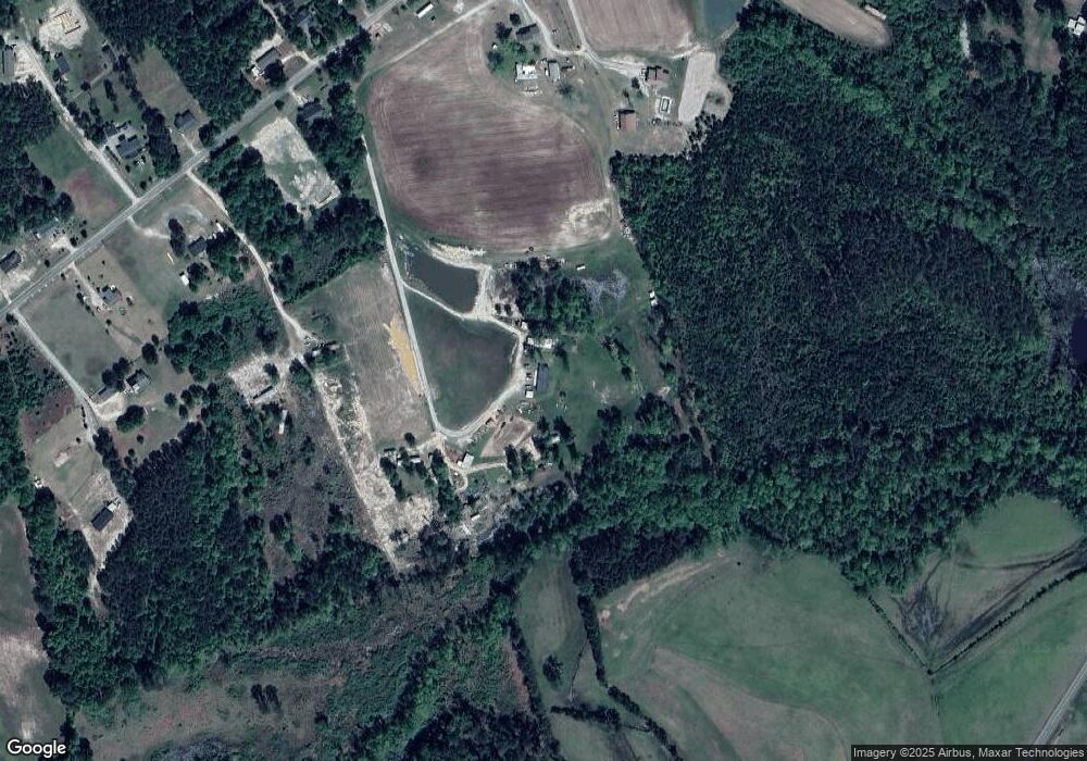
Map
Nearby Homes
- 2575 Sheriff Watson Rd
- Prelude Plan at Swann's Station
- Wayfare Plan at Swann's Station
- 0 S St Andrews Church Rd S Unit 738202
- 139 Palm Dr
- 261 River Falls Rd
- 0 S Nc 87 Hwy Unit 676227
- 125 Teagarden Ct
- 3202 Finch Ct
- 5027 Lake Willet Rd
- 25 Cornfield Way
- 1279 Frank Wicker Rd
- 0 Greenwood Rd
- 0 0 Swanns Station Rd
- 0 S Pointe
- 209 Olive Branch St
- 208 Olive Branch St
- TBD Hwy 87 Broadway Rd Rd
- 5142 Nc 87 Hwy N
- 259 Pot Hole Ln
- 269 Pot Hole Ln
- 821 Kentyrewood Farm Rd
- 825 Kentyrewood Farm Rd
- 743 Kentyrewood Farm Rd
- 831 Kentyrewood Farm Rd
- 941 Kentyrewood Farm Rd
- 750 Kentyrewood Farm Rd
- 692 Kentyrewood Farm Rd
- 832 Kentyrewood Farm Rd
- 895 Kentyrewood Farm Rd
- 618 Kentyrewood Farm Rd
- 746 Kentyrewood Farm Rd
- 602 Kentyrewood Farm Rd
- 5724 Swanns Station Rd
- 580 Kentyrewood Farm Rd
- 945 Kentyrewood Farm Rd
- 836 Kentyrewood Farm Rd
- 562 Kentyrewood Farm Rd
- 902 Kentyrewood Farm Rd