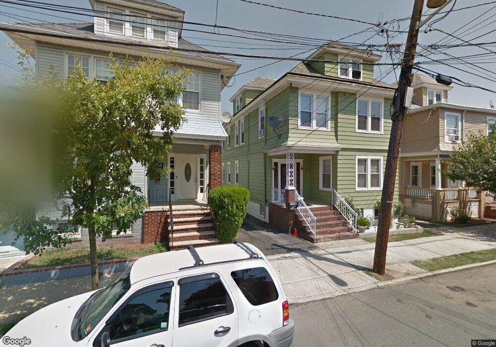
229 Powers St New Brunswick, NJ 08901
Estimated Value: $551,000 - $670,000
--
Bed
--
Bath
3,024
Sq Ft
$198/Sq Ft
Est. Value
About This Home
This home is located at 229 Powers St, New Brunswick, NJ 08901 and is currently estimated at $599,661, approximately $198 per square foot. 229 Powers St is a home located in Middlesex County with nearby schools including New Brunswick High School, Central Jersey College Prep Charter School, and St. Mary of Mount Virgin School.
Ownership History
Date
Name
Owned For
Owner Type
Purchase Details
Closed on
Feb 24, 2009
Sold by
Gomez Juan and Gomez Geraldina
Bought by
Gomez Juan and Gomez Geraldina
Current Estimated Value
Home Financials for this Owner
Home Financials are based on the most recent Mortgage that was taken out on this home.
Original Mortgage
$372,048
Outstanding Balance
$236,697
Interest Rate
5.14%
Mortgage Type
FHA
Estimated Equity
$362,964
Purchase Details
Closed on
Nov 21, 2005
Sold by
Gallina Carmela
Bought by
Gomez Juan and Gomez Geraldine
Home Financials for this Owner
Home Financials are based on the most recent Mortgage that was taken out on this home.
Original Mortgage
$355,500
Interest Rate
6.28%
Create a Home Valuation Report for This Property
The Home Valuation Report is an in-depth analysis detailing your home's value as well as a comparison with similar homes in the area
Home Values in the Area
Average Home Value in this Area
Purchase History
| Date | Buyer | Sale Price | Title Company |
|---|---|---|---|
| Gomez Juan | -- | Coastal Land Services Inc | |
| Gomez Juan | $395,000 | -- |
Source: Public Records
Mortgage History
| Date | Status | Borrower | Loan Amount |
|---|---|---|---|
| Open | Gomez Juan | $372,048 | |
| Previous Owner | Gomez Juan | $355,500 |
Source: Public Records
Tax History Compared to Growth
Tax History
| Year | Tax Paid | Tax Assessment Tax Assessment Total Assessment is a certain percentage of the fair market value that is determined by local assessors to be the total taxable value of land and additions on the property. | Land | Improvement |
|---|---|---|---|---|
| 2025 | $8,116 | $309,900 | $87,400 | $222,500 |
| 2024 | $7,881 | $309,900 | $87,400 | $222,500 |
| 2023 | $7,881 | $309,900 | $87,400 | $222,500 |
| 2022 | $7,713 | $309,900 | $87,400 | $222,500 |
| 2021 | $5,722 | $309,900 | $87,400 | $222,500 |
| 2020 | $7,655 | $309,900 | $87,400 | $222,500 |
| 2019 | $7,509 | $309,900 | $87,400 | $222,500 |
| 2018 | $7,338 | $309,900 | $87,400 | $222,500 |
| 2017 | $7,047 | $309,900 | $87,400 | $222,500 |
| 2016 | $7,943 | $135,400 | $25,100 | $110,300 |
| 2015 | $7,753 | $135,400 | $25,100 | $110,300 |
| 2014 | $7,615 | $135,400 | $25,100 | $110,300 |
Source: Public Records
Map
Nearby Homes
- 158 Lee Ave
- 11 Edgeworth Place
- 200 Talmadge St
- 294 Howard St
- 14 Edgeworth Place
- 130 Joyce Kilmer Ave
- 201 Fulton St
- 184 Lawrence St
- 114 Joyce Kilmer Ave
- 216 Handy St
- 163 Livingston Ave
- 122 Lawrence St Unit 26
- 128 Remsen Ave Unit A
- 128A Remsen Ave
- 267 Handy St
- 25 Rutgers St
- 122B Remsen Ave Unit A
- 122A Remsen Ave Unit A
- 264 Seaman St
- 340 Livingston Ave
- 231 Powers St
- 227 Powers St
- 223 Powers St
- 230 Sandford St
- 222 Sandford St
- 244 Livingston Ave
- 246 Livingston Ave
- 242 Livingston Ave
- 236 Livingston Ave
- 219 Powers St
- 230 Powers St
- 232 Powers St
- 234 Powers St
- 228 Powers St
- 232 Livingston Ave
- 216 Sandford St
- 248 Livingston Ave
- 217 Powers St
- 226 Powers St
- 226 Sandford St