229 Rathbun Rd Williamstown, MA 01267
Estimated Value: $537,000 - $632,000
3
Beds
2
Baths
1,728
Sq Ft
$340/Sq Ft
Est. Value
About This Home
This home is located at 229 Rathbun Rd, Williamstown, MA 01267 and is currently estimated at $588,025, approximately $340 per square foot. 229 Rathbun Rd is a home located in Berkshire County with nearby schools including Hancock Elementary School.
Ownership History
Date
Name
Owned For
Owner Type
Purchase Details
Closed on
Nov 21, 2014
Sold by
Dowhan Christopher and Dowhan Adrienne
Bought by
David E Garrison Ret
Current Estimated Value
Home Financials for this Owner
Home Financials are based on the most recent Mortgage that was taken out on this home.
Original Mortgage
$304,000
Outstanding Balance
$223,981
Interest Rate
3%
Mortgage Type
New Conventional
Estimated Equity
$364,044
Purchase Details
Closed on
Sep 2, 2011
Sold by
Smelser Patrick T and Smelser Linda D
Bought by
Dowhan Christopher and Dowhan Adrienne
Purchase Details
Closed on
Oct 25, 2002
Sold by
Banta Joanne D
Bought by
Smelser Patrick T and Smelser Linda D
Home Financials for this Owner
Home Financials are based on the most recent Mortgage that was taken out on this home.
Original Mortgage
$125,000
Interest Rate
6.2%
Mortgage Type
Purchase Money Mortgage
Create a Home Valuation Report for This Property
The Home Valuation Report is an in-depth analysis detailing your home's value as well as a comparison with similar homes in the area
Home Values in the Area
Average Home Value in this Area
Purchase History
| Date | Buyer | Sale Price | Title Company |
|---|---|---|---|
| David E Garrison Ret | $380,000 | -- | |
| Dowhan Christopher | $317,500 | -- | |
| Smelser Patrick T | $263,750 | -- |
Source: Public Records
Mortgage History
| Date | Status | Borrower | Loan Amount |
|---|---|---|---|
| Open | David E Garrison Ret | $304,000 | |
| Previous Owner | Smelser Patrick T | $125,000 |
Source: Public Records
Tax History
| Year | Tax Paid | Tax Assessment Tax Assessment Total Assessment is a certain percentage of the fair market value that is determined by local assessors to be the total taxable value of land and additions on the property. | Land | Improvement |
|---|---|---|---|---|
| 2025 | $1,496 | $556,100 | $80,200 | $475,900 |
| 2024 | $1,386 | $496,800 | $76,600 | $420,200 |
| 2023 | $1,159 | $432,400 | $75,100 | $357,300 |
| 2022 | $1,161 | $387,000 | $75,100 | $311,900 |
| 2021 | $1,153 | $387,000 | $75,100 | $311,900 |
| 2020 | $1,077 | $387,500 | $75,100 | $312,400 |
| 2019 | $1,243 | $373,400 | $75,100 | $298,300 |
| 2018 | $1,624 | $362,500 | $75,100 | $287,400 |
| 2017 | $3,878 | $363,300 | $75,100 | $288,200 |
| 2016 | $874 | $364,000 | $75,100 | $288,900 |
| 2015 | $846 | $297,900 | $77,300 | $220,600 |
Source: Public Records
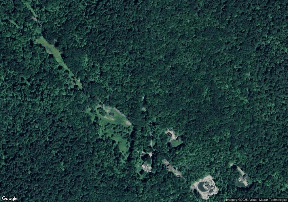
Map
Nearby Homes
- 1055 Beaver Pond Meadows
- 1052 Beaver Pond Meadows
- 1044 Beaver Pond Meadows
- 271 Brodie Mountain Rd
- L20.44 Robinson Hollow Way
- 213 Brodie Mountain Rd
- 11 Corey Rd
- 9063 Mountainside Dr
- 9102 Mountainside Dr
- 803 Crane
- 388 East Rd
- 37 Corey Rd Unit 212
- 37 Corey Rd Unit 73
- 37 Corey Rd Unit 532
- 37 Corey Rd Unit 716
- 37 Corey Rd Unit 234
- 37 Corey Rd Unit 526
- 37 Corey Rd Unit 25
- 37 Corey Rd Unit 521
- 37 Corey Rd Unit 842
Your Personal Tour Guide
Ask me questions while you tour the home.