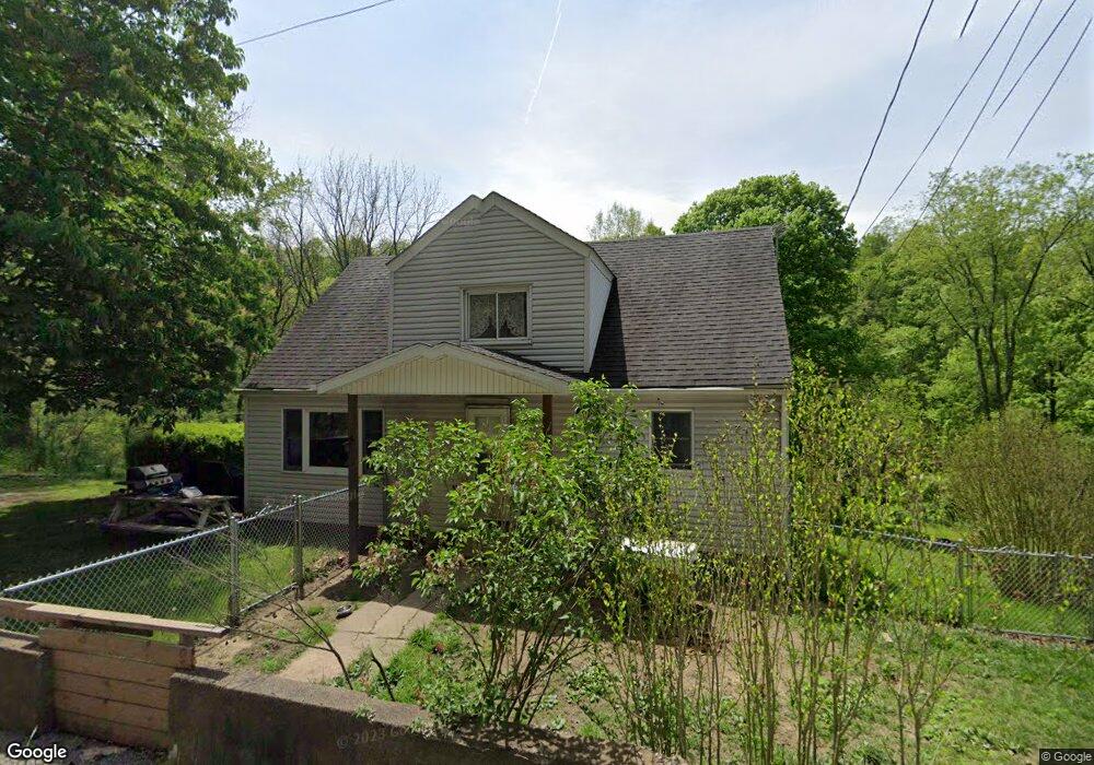
229 Rowes Run Rd Grindstone, PA 15442
Redstone Township NeighborhoodEstimated Value: $93,000 - $126,000
4
Beds
1
Bath
1,134
Sq Ft
$101/Sq Ft
Est. Value
About This Home
This home is located at 229 Rowes Run Rd, Grindstone, PA 15442 and is currently estimated at $114,833, approximately $101 per square foot. 229 Rowes Run Rd is a home located in Fayette County with nearby schools including Brownsville Area Elementary School, Brownsville Area Middle School, and Brownsville Area High School.
Ownership History
Date
Name
Owned For
Owner Type
Purchase Details
Closed on
Nov 6, 2017
Sold by
Morrow Carla and Estate Of Anna M Grashion
Bought by
Luckey Robert J and Luckey Erica L
Current Estimated Value
Home Financials for this Owner
Home Financials are based on the most recent Mortgage that was taken out on this home.
Original Mortgage
$54,040
Outstanding Balance
$45,259
Interest Rate
3.83%
Mortgage Type
New Conventional
Estimated Equity
$69,574
Purchase Details
Closed on
Jan 1, 1968
Bought by
Grashion Carl and Grashion Anna M
Create a Home Valuation Report for This Property
The Home Valuation Report is an in-depth analysis detailing your home's value as well as a comparison with similar homes in the area
Home Values in the Area
Average Home Value in this Area
Purchase History
| Date | Buyer | Sale Price | Title Company |
|---|---|---|---|
| Luckey Robert J | $53,500 | None Available | |
| Morrow Carla | -- | None Available | |
| Grashion Carl | -- | -- |
Source: Public Records
Mortgage History
| Date | Status | Borrower | Loan Amount |
|---|---|---|---|
| Open | Luckey Robert J | $54,040 |
Source: Public Records
Tax History Compared to Growth
Tax History
| Year | Tax Paid | Tax Assessment Tax Assessment Total Assessment is a certain percentage of the fair market value that is determined by local assessors to be the total taxable value of land and additions on the property. | Land | Improvement |
|---|---|---|---|---|
| 2025 | $681 | $24,890 | $13,000 | $11,890 |
| 2024 | $681 | $24,890 | $13,000 | $11,890 |
| 2023 | $1,361 | $24,890 | $13,000 | $11,890 |
| 2022 | $1,361 | $24,890 | $13,000 | $11,890 |
| 2021 | $1,320 | $24,890 | $13,000 | $11,890 |
| 2020 | $1,318 | $24,890 | $13,000 | $11,890 |
| 2019 | $1,245 | $24,890 | $13,000 | $11,890 |
| 2018 | $1,245 | $24,890 | $13,000 | $11,890 |
| 2017 | $1,216 | $24,890 | $13,000 | $11,890 |
| 2016 | -- | $24,890 | $13,000 | $11,890 |
| 2015 | -- | $24,890 | $13,000 | $11,890 |
| 2014 | -- | $49,780 | $26,000 | $23,780 |
Source: Public Records
Map
Nearby Homes
- 1161 1st St
- 120 E 1st St
- 107 Madison St
- 104 Royal Rd
- 419 2nd St
- 185 Main St
- Crabapple Ln
- 428 Grindstone Rd
- Braznell Concrete Rd
- 100 Bank St
- 0 Alpine Ln Unit 1706795
- 6020 National Pike
- 225 Lynn Rd
- 645 National Pike E
- 218 Hatfield Rd
- 84 Union St
- 0 Curfew Rd
- 912 Keisterville Rd
- 626 Front St
- 115 6th Ave