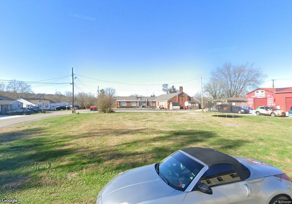
229 Saint Charles St Coal Grove, OH 45638
Estimated Value: $14,000 - $91,000
2
Beds
1
Bath
1,008
Sq Ft
$52/Sq Ft
Est. Value
About This Home
This home is located at 229 Saint Charles St, Coal Grove, OH 45638 and is currently estimated at $52,500, approximately $52 per square foot. 229 Saint Charles St is a home located in Lawrence County with nearby schools including Dawson-Bryant Elementary School, Dawson-Bryant Middle School, and Dawson-Bryant High School.
Ownership History
Date
Name
Owned For
Owner Type
Purchase Details
Closed on
Dec 18, 2024
Sold by
Coal Grove Memorial Methodist Church Inc and Coal Grove Methodist Church Inc
Bought by
Mckenzie Michael E
Current Estimated Value
Purchase Details
Closed on
Oct 18, 2024
Sold by
Coal Grove Memorial United Methodist Chu and Coal Grove Memorial Methodist
Bought by
Memorial Methodist Church
Purchase Details
Closed on
Jul 14, 1993
Sold by
Yates Edsel Ford and Yates Ruth
Bought by
Yates Ruth Marie
Create a Home Valuation Report for This Property
The Home Valuation Report is an in-depth analysis detailing your home's value as well as a comparison with similar homes in the area
Home Values in the Area
Average Home Value in this Area
Purchase History
| Date | Buyer | Sale Price | Title Company |
|---|---|---|---|
| Mckenzie Michael E | $12,500 | None Listed On Document | |
| Mckenzie Michael E | $12,500 | None Listed On Document | |
| Memorial Methodist Church | -- | None Listed On Document | |
| Memorial Methodist Church | -- | None Listed On Document | |
| Yates Ruth Marie | $95,000 | -- |
Source: Public Records
Tax History Compared to Growth
Tax History
| Year | Tax Paid | Tax Assessment Tax Assessment Total Assessment is a certain percentage of the fair market value that is determined by local assessors to be the total taxable value of land and additions on the property. | Land | Improvement |
|---|---|---|---|---|
| 2024 | -- | $3,570 | $3,570 | -- |
| 2023 | $191 | $3,570 | $3,570 | $0 |
| 2022 | $199 | $3,570 | $3,570 | $0 |
| 2021 | $104 | $3,400 | $3,400 | $0 |
| 2020 | $189 | $3,400 | $3,400 | $0 |
| 2019 | $188 | $3,400 | $3,400 | $0 |
| 2018 | $189 | $3,400 | $3,400 | $0 |
| 2017 | $701 | $3,400 | $3,400 | $0 |
| 2016 | $656 | $19,580 | $3,400 | $16,180 |
| 2015 | $674 | $18,740 | $3,400 | $15,340 |
| 2014 | $629 | $18,740 | $3,400 | $15,340 |
| 2013 | $629 | $18,740 | $3,400 | $15,340 |
Source: Public Records
Map
Nearby Homes
- 805 1/2 High St
- 514 Lane St
- 519 Lane St
- 125 Center St
- 303 Pike St
- 119 Remy St
- 309 High St
- 309 High St Unit LAO-5
- 103 Carrico Dr
- 1003 Marion Pike
- 0 Central & Mlk
- 508 16th St
- 1100 Price St
- 156 Township Road 181
- 1409 Hoods Creek Pike
- 2088 State Route 243
- 1824 Carter Ave
- 0 Kentucky 5
- 0 18th Street & Central Ave
- 2721 S 8th St
- 228 Memorial St
- 226 Memorial St
- 230 Saint Charles St
- 228 Saint Charles St
- 226 Saint Charles St
- 221 Saint Charles St
- 224 Saint Charles St
- 231 Memorial St
- 229 Memorial St
- 220 Memorial St
- 227 Memorial St
- 233 Memorial St
- 786 High St
- 235 Memorial St
- 223 Memorial St
- 222 Saint Charles St
- 801 High St
- 218 Memorial St
- 218 Saint Charles St
- 221 Memorial St
