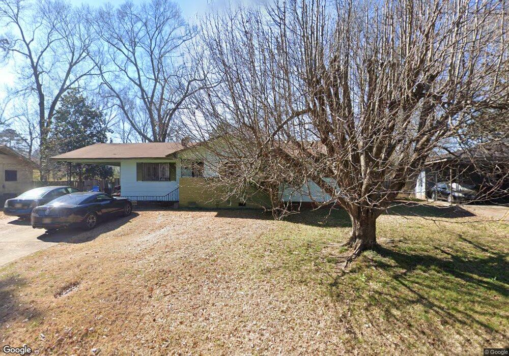
229 Springfield Cir Jackson, MS 39209
West Jackson NeighborhoodEstimated Value: $51,146 - $83,000
Studio
--
Bath
1,388
Sq Ft
$48/Sq Ft
Est. Value
About This Home
This home is located at 229 Springfield Cir, Jackson, MS 39209 and is currently estimated at $67,037, approximately $48 per square foot. 229 Springfield Cir is a home located in Hinds County with nearby schools including Provine High School, Ambition Preparatory Charter School, and Adhiambo School.
Ownership History
Date
Name
Owned For
Owner Type
Purchase Details
Closed on
Apr 29, 2011
Sold by
Stein Paul C and Stein Sharon J
Bought by
Smtih Antonio and Smith Maria
Current Estimated Value
Home Financials for this Owner
Home Financials are based on the most recent Mortgage that was taken out on this home.
Original Mortgage
$25,000
Interest Rate
4.74%
Mortgage Type
Purchase Money Mortgage
Create a Home Valuation Report for This Property
The Home Valuation Report is an in-depth analysis detailing your home's value as well as a comparison with similar homes in the area
Home Values in the Area
Average Home Value in this Area
Purchase History
| Date | Buyer | Sale Price | Title Company |
|---|---|---|---|
| Smtih Antonio | -- | -- |
Source: Public Records
Mortgage History
| Date | Status | Borrower | Loan Amount |
|---|---|---|---|
| Closed | Smtih Antonio | $25,000 |
Source: Public Records
Tax History
| Year | Tax Paid | Tax Assessment Tax Assessment Total Assessment is a certain percentage of the fair market value that is determined by local assessors to be the total taxable value of land and additions on the property. | Land | Improvement |
|---|---|---|---|---|
| 2025 | $1,358 | $7,194 | $1,650 | $5,544 |
| 2024 | $1,358 | $7,023 | $1,650 | $5,373 |
| 2023 | $1,358 | $4,682 | $1,100 | $3,582 |
| 2022 | $901 | $4,682 | $1,100 | $3,582 |
| 2021 | $709 | $4,682 | $1,100 | $3,582 |
| 2020 | $703 | $4,649 | $1,100 | $3,549 |
| 2019 | $704 | $4,649 | $1,100 | $3,549 |
| 2018 | $694 | $4,649 | $1,100 | $3,549 |
| 2017 | $672 | $4,649 | $1,100 | $3,549 |
| 2016 | $672 | $4,649 | $1,100 | $3,549 |
| 2015 | $630 | $4,558 | $1,100 | $3,458 |
| 2014 | $629 | $4,558 | $1,100 | $3,458 |
Source: Public Records
Map
Nearby Homes
- 253 Rowland Ave
- 425 Springfield Cir
- 103 Fair Ct
- 407 E Hillsdale Dr
- 196 Dixon Rd
- 616 W Hillsdale Dr
- 0 Highway 80 Hwy Unit W HIGHWAY 80 1196194
- 0 Highway 80 Hwy Unit 4131915
- 324 Windsor Dr
- 4953 Rosehaven Dr
- 212 Gaylyn Dr
- 215 Windsor Dr
- 425 Windsor Dr
- 214 Merrimack St
- 216 Meadowview St
- 5146 Andover Dr
- 315 Boling St
- 0 Flag Chapel Rd Unit 4113311
- 4570 Ritchey Dr
- 0 Hoover St
- 233 Springfield Cir
- 225 Springfield Cir
- 237 Springfield Cir
- 228 Springfield Cir
- 232 Springfield Cir
- 221 Springfield Cir
- 220 Springfield Cir
- 240 Springfield Cir
- 241 Springfield Cir
- 217 Springfield Cir
- 207 Rowland Ave
- 244 Springfield Cir
- 203 Rowland Ave
- 20 Rowland Ave
- 245 Springfield Cir
- 213 Rowland Ave
- 211 Springfield Cir
- 248 Springfield Cir
- 217 Rowland Ave
- 249 Springfield Cir
Your Personal Tour Guide
Ask me questions while you tour the home.