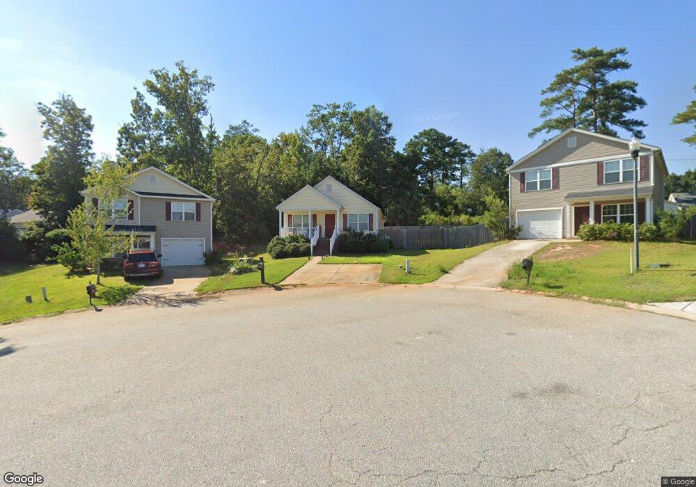
229 St Andrews Place Dr Columbia, SC 29210
Saint Andrews NeighborhoodEstimated Value: $193,000 - $222,000
3
Beds
2
Baths
1,352
Sq Ft
$152/Sq Ft
Est. Value
About This Home
This home is located at 229 St Andrews Place Dr, Columbia, SC 29210 and is currently estimated at $205,858, approximately $152 per square foot. 229 St Andrews Place Dr is a home located in Richland County with nearby schools including Sandel Elementary School, St. Andrews Middle School, and Columbia High School.
Ownership History
Date
Name
Owned For
Owner Type
Purchase Details
Closed on
May 26, 2017
Sold by
Lee Thomas L and Lee Cory F
Bought by
Ley Robert J
Current Estimated Value
Home Financials for this Owner
Home Financials are based on the most recent Mortgage that was taken out on this home.
Original Mortgage
$110,169
Outstanding Balance
$92,575
Interest Rate
4.4%
Mortgage Type
FHA
Estimated Equity
$113,283
Purchase Details
Closed on
Jul 29, 2011
Sold by
D R Horton Inc
Bought by
Lee Thomas L and Lee Cory F
Home Financials for this Owner
Home Financials are based on the most recent Mortgage that was taken out on this home.
Original Mortgage
$105,262
Interest Rate
4.25%
Mortgage Type
FHA
Purchase Details
Closed on
Mar 9, 2010
Sold by
South Development Corp
Bought by
D R Horton Inc
Create a Home Valuation Report for This Property
The Home Valuation Report is an in-depth analysis detailing your home's value as well as a comparison with similar homes in the area
Home Values in the Area
Average Home Value in this Area
Purchase History
| Date | Buyer | Sale Price | Title Company |
|---|---|---|---|
| Ley Robert J | $115,000 | None Available | |
| Lee Thomas L | $108,000 | -- | |
| D R Horton Inc | $102,000 | -- |
Source: Public Records
Mortgage History
| Date | Status | Borrower | Loan Amount |
|---|---|---|---|
| Open | Ley Robert J | $110,169 | |
| Previous Owner | Lee Thomas L | $105,262 |
Source: Public Records
Tax History Compared to Growth
Tax History
| Year | Tax Paid | Tax Assessment Tax Assessment Total Assessment is a certain percentage of the fair market value that is determined by local assessors to be the total taxable value of land and additions on the property. | Land | Improvement |
|---|---|---|---|---|
| 2024 | $1,271 | $132,300 | $0 | $0 |
| 2023 | $1,219 | $4,600 | $0 | $0 |
| 2022 | $1,107 | $115,000 | $12,500 | $102,500 |
| 2021 | $1,103 | $4,600 | $0 | $0 |
| 2020 | $1,120 | $4,600 | $0 | $0 |
| 2019 | $1,094 | $4,600 | $0 | $0 |
| 2018 | $1,076 | $4,600 | $0 | $0 |
| 2017 | $938 | $3,940 | $0 | $0 |
| 2016 | $934 | $3,940 | $0 | $0 |
| 2015 | $910 | $3,940 | $0 | $0 |
| 2014 | $885 | $98,500 | $0 | $0 |
| 2013 | -- | $3,940 | $0 | $0 |
Source: Public Records
Map
Nearby Homes
- 1509 Nunamaker Dr
- 1533 Westchester Dr
- 1917 Chandler Ave
- 1605 Kathleen Dr
- 2006 Mary Hill Dr
- 1917 Kathleen Dr
- 1825 Woodsboro Dr
- 1810 Saint Michaels Rd
- 1618 van Lingle Ave
- 2116 Chandler Ave
- 1900 Rolling Hills Rd
- 2225 Hertford Dr
- 2229 Hertford Dr
- 1204 Old Manor Rd
- 2135 Rolling Hills Rd
- 529 Cambout St
- 1904 Elise Dr
- 1101 Menlo Dr
- 2103 Marley Dr
- 321 Cambout St
- 229 St Andrews Pl Dr
- 225 St Andrews Place Dr
- 233 St Andrews Place Dr
- 215 St Andrews Place Dr
- 24 St Andrews Place Ct
- 1629 Breeland St
- 28 St Andrews Place Ct
- 24 Saint Andrews Place Ct
- 232 St Andrews Pl Dr
- 232 St Andrews Place Dr
- 1625 Breeland St
- 28 Saint Andrews Place Ct
- 14 Westchester Ct
- 228 St Andrews Place Dr
- 10 Westchester Ct
- 20 St Andrews Place Ct
- 20 St Andrews Place Ct
- 220 St Andrews Place Dr
- 220 St Andrews Pl Dr
- 224 St Andrews Pl Dr