Estimated Value: $279,811 - $464,000
3
Beds
2
Baths
1,263
Sq Ft
$290/Sq Ft
Est. Value
About This Home
This home is located at 229 Stoy Smith Rd, Hull, GA 30646 and is currently estimated at $365,953, approximately $289 per square foot. 229 Stoy Smith Rd is a home located in Madison County with nearby schools including Madison County High School.
Ownership History
Date
Name
Owned For
Owner Type
Purchase Details
Closed on
Jul 3, 2003
Sold by
Carr John P and Carr Charlotte T
Bought by
Carr Charlotte T and Scott David
Current Estimated Value
Purchase Details
Closed on
Feb 1, 2002
Sold by
Carr Christine Ann
Bought by
Carr Scott David
Purchase Details
Closed on
Aug 14, 1997
Sold by
Carr John Paul
Bought by
Carr Christine Ann
Purchase Details
Closed on
Apr 7, 1997
Sold by
Massey Freddie V and Massey D
Bought by
Carter William D D and Carter B
Create a Home Valuation Report for This Property
The Home Valuation Report is an in-depth analysis detailing your home's value as well as a comparison with similar homes in the area
Purchase History
| Date | Buyer | Sale Price | Title Company |
|---|---|---|---|
| Carr Charlotte T | -- | -- | |
| Carr John P | -- | -- | |
| Carr Scott David | -- | -- | |
| Carr Christine Ann | -- | -- | |
| Carr John Paul | $87,500 | -- | |
| Carter William D D | $19,000 | -- |
Source: Public Records
Tax History
| Year | Tax Paid | Tax Assessment Tax Assessment Total Assessment is a certain percentage of the fair market value that is determined by local assessors to be the total taxable value of land and additions on the property. | Land | Improvement |
|---|---|---|---|---|
| 2025 | $2,091 | $84,291 | $28,560 | $55,731 |
| 2024 | $20 | $82,525 | $28,560 | $53,965 |
| 2023 | $1,645 | $83,192 | $23,800 | $59,392 |
| 2022 | $1,836 | $68,579 | $16,362 | $52,217 |
| 2021 | $1,640 | $55,730 | $16,362 | $39,368 |
| 2020 | $1,579 | $53,350 | $13,982 | $39,368 |
| 2019 | $1,570 | $52,477 | $13,982 | $38,495 |
| 2018 | $1,518 | $50,677 | $13,330 | $37,347 |
| 2017 | $1,407 | $48,848 | $12,400 | $36,448 |
| 2016 | $1,190 | $43,445 | $12,400 | $31,045 |
| 2015 | $1,190 | $43,445 | $12,400 | $31,045 |
| 2014 | $1,232 | $44,652 | $13,176 | $31,476 |
| 2013 | -- | $44,652 | $13,176 | $31,476 |
Source: Public Records
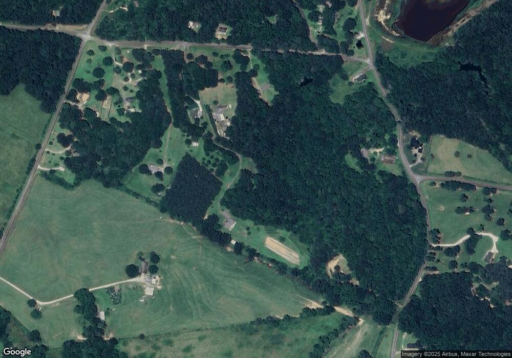
Map
Nearby Homes
- 310 Sawdust Rd
- 0 Erastus Church Rd Unit 10647280
- 0 Erastus Church Rd Unit 10647276
- 0 Erastus Church Rd Unit 26346190
- 0 Erastus Church Rd Unit 10647273
- 0 Crabapple Hollow Rd Unit TRACT 2
- 3655 Neese Commerce Rd
- 9 Cooper Farm Rd
- 7 Cooper Farm Rd
- 357 Carither Rd
- 8541 Georgia 334
- 1246 Stone Stewart Rd
- 832 Stone Stewart Rd
- 9980 Nowhere Rd
- 0 Stone Stewart Rd Unit 7519457
- 0 Stone Stewart Rd Unit 10452697
- 0 Stone Stewart Rd Unit 1023553
- 284 Snow Farm Rd
- 3460 Sanford Rd
- 0 Watkins Trail Unit TRACT 22
- 233 Stoy Smith Rd
- 221 Stoy Smith Rd
- 239 Stoy Smith Rd
- 145 Stoy Smith Rd
- 2324 Seagraves Dr
- 275 Stoy Smith Rd
- 317 Stoy Smith Rd
- 2324 Seagraves Mill Rd
- 204 Stoy Smith Rd
- 1410 Stoy Smith Rd
- 1404 Stoy Smith Rd
- 4 Stoy Smith Rd
- 198 Stoy Smith Rd
- 0 Seagraves Mill Rd Unit CM942213
- 0 Seagraves Mill Rd Unit 8015817
- 0 Seagraves Mill Rd Unit 1013783
- 0 Seagraves Mill Rd Unit 1007986
- 0 Seagraves Mill Rd Unit 20130682
- 0 Seagraves Mill Rd Unit 7493413
- 315 Stoy Smith Rd
Your Personal Tour Guide
Ask me questions while you tour the home.