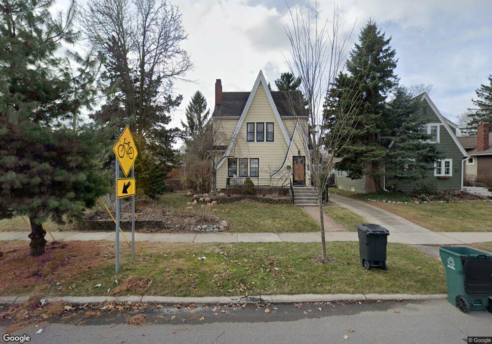
229 W Oakridge St Ferndale, MI 48220
Estimated Value: $445,434 - $508,000
3
Beds
2
Baths
1,638
Sq Ft
$288/Sq Ft
Est. Value
About This Home
This home is located at 229 W Oakridge St, Ferndale, MI 48220 and is currently estimated at $471,359, approximately $287 per square foot. 229 W Oakridge St is a home located in Oakland County with nearby schools including Ferndale Lower Elementary Campus, Ferndale Upper Elementary Campus, and Ferndale Middle School.
Ownership History
Date
Name
Owned For
Owner Type
Purchase Details
Closed on
Aug 3, 2020
Sold by
Kodan Lori M
Bought by
Decker William and Decker Bailey
Current Estimated Value
Purchase Details
Closed on
Sep 27, 2018
Sold by
Kodan Lori Marie
Bought by
Kodan Lori Marie and Lori Marie Kodan Revocable Tru
Purchase Details
Closed on
Nov 10, 1995
Sold by
Jones P Aaron
Bought by
Kodan Lori M
Home Financials for this Owner
Home Financials are based on the most recent Mortgage that was taken out on this home.
Original Mortgage
$90,000
Interest Rate
7.43%
Create a Home Valuation Report for This Property
The Home Valuation Report is an in-depth analysis detailing your home's value as well as a comparison with similar homes in the area
Home Values in the Area
Average Home Value in this Area
Purchase History
| Date | Buyer | Sale Price | Title Company |
|---|---|---|---|
| Decker William | $350,000 | None Available | |
| Kodan Lori Marie | -- | None Available | |
| Kodan Lori M | $121,000 | -- |
Source: Public Records
Mortgage History
| Date | Status | Borrower | Loan Amount |
|---|---|---|---|
| Previous Owner | Kodan Lori M | $90,000 |
Source: Public Records
Tax History Compared to Growth
Tax History
| Year | Tax Paid | Tax Assessment Tax Assessment Total Assessment is a certain percentage of the fair market value that is determined by local assessors to be the total taxable value of land and additions on the property. | Land | Improvement |
|---|---|---|---|---|
| 2024 | $9,074 | $188,160 | $0 | $0 |
| 2023 | $8,832 | $175,380 | $0 | $0 |
| 2022 | $9,114 | $167,150 | $0 | $0 |
| 2021 | $8,992 | $162,420 | $0 | $0 |
| 2020 | $4,777 | $161,660 | $0 | $0 |
| 2019 | $4,856 | $153,300 | $0 | $0 |
| 2018 | $4,875 | $142,620 | $0 | $0 |
| 2017 | $4,813 | $137,180 | $0 | $0 |
| 2016 | $4,759 | $124,650 | $0 | $0 |
| 2015 | -- | $100,910 | $0 | $0 |
| 2014 | -- | $88,130 | $0 | $0 |
| 2011 | -- | $89,920 | $0 | $0 |
Source: Public Records
Map
Nearby Homes
- 437 W Drayton St
- 452 W Lewiston Ave
- 20 Oxford Blvd
- 203 E Lewiston Ave
- 367 W Cambourne St
- 221 E Lewiston Ave
- 629 W Lewiston Ave
- 475 W Breckenridge St
- 47 Wellesley Dr
- 256 Withington St
- 573 E Oakridge St
- 619 Withington St
- 815 W Oakridge St
- 500 E Maplehurst St
- 545 E Maplehurst St
- 630 W Troy St
- 3111 Minerva St
- 1924 Pinecrest Dr
- 392 E Cambourne St
- 1711 Livernois St Unit 7
- 225 W Oakridge St
- 239 W Oakridge St
- W Oakridge
- 240 W Drayton St
- 249 W Oakridge St
- 230 W Drayton St
- 250 W Drayton St
- 220 W Drayton St
- 259 W Oakridge St
- 259 W Oakridge St
- 260 W Drayton St
- 23525 Woodward Ave
- 272 W Drayton St
- 265 W Oakridge St
- 265 W Oakridge St
- 280 W Drayton St
- 1 Cambridge Blvd Unit Bldg-Unit
- 1 Cambridge Blvd
- 277 W Oakridge St
- 225 W Drayton St