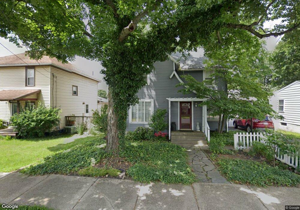
229 W Summit St Barberton, OH 44203
North Barberton NeighborhoodEstimated Value: $175,000 - $211,000
4
Beds
2
Baths
1,972
Sq Ft
$95/Sq Ft
Est. Value
About This Home
This home is located at 229 W Summit St, Barberton, OH 44203 and is currently estimated at $188,011, approximately $95 per square foot. 229 W Summit St is a home located in Summit County with nearby schools including Barberton Middle School, Barberton High School, and Imagine Akron Academy.
Ownership History
Date
Name
Owned For
Owner Type
Purchase Details
Closed on
May 21, 2007
Sold by
Mccrady Daniel C and Mccrady Elonet A
Bought by
Mathews Walter S and Mathews Victoria L
Current Estimated Value
Home Financials for this Owner
Home Financials are based on the most recent Mortgage that was taken out on this home.
Original Mortgage
$88,000
Interest Rate
6.22%
Mortgage Type
Purchase Money Mortgage
Purchase Details
Closed on
Jan 4, 2000
Sold by
Stanley Barnes Mollie Jane and Stanley Jack
Bought by
Mccrady Daniel S and Mccrady Elonet A
Home Financials for this Owner
Home Financials are based on the most recent Mortgage that was taken out on this home.
Original Mortgage
$32,000
Interest Rate
7.77%
Purchase Details
Closed on
Jul 9, 1999
Sold by
Snyder Mollie J and Harnes Mollie Jane
Bought by
Barnes Jack Stanley and Barnes Mollie Jane
Create a Home Valuation Report for This Property
The Home Valuation Report is an in-depth analysis detailing your home's value as well as a comparison with similar homes in the area
Home Values in the Area
Average Home Value in this Area
Purchase History
| Date | Buyer | Sale Price | Title Company |
|---|---|---|---|
| Mathews Walter S | $110,000 | Landamerica | |
| Mccrady Daniel S | $86,900 | Midland Commerce Group | |
| Barnes Jack Stanley | -- | -- |
Source: Public Records
Mortgage History
| Date | Status | Borrower | Loan Amount |
|---|---|---|---|
| Closed | Mathews Walter S | $88,000 | |
| Closed | Mccrady Daniel S | $32,000 |
Source: Public Records
Tax History Compared to Growth
Tax History
| Year | Tax Paid | Tax Assessment Tax Assessment Total Assessment is a certain percentage of the fair market value that is determined by local assessors to be the total taxable value of land and additions on the property. | Land | Improvement |
|---|---|---|---|---|
| 2025 | $1,484 | $38,784 | $10,042 | $28,742 |
| 2024 | $1,484 | $38,784 | $10,042 | $28,742 |
| 2023 | $1,484 | $38,784 | $10,042 | $28,742 |
| 2022 | $961 | $25,348 | $6,563 | $18,785 |
| 2021 | $960 | $25,348 | $6,563 | $18,785 |
| 2020 | $939 | $25,350 | $6,560 | $18,790 |
| 2019 | $717 | $20,210 | $5,780 | $14,430 |
| 2018 | $706 | $20,210 | $5,780 | $14,430 |
| 2017 | $716 | $20,210 | $5,780 | $14,430 |
| 2016 | $717 | $20,210 | $5,780 | $14,430 |
| 2015 | $716 | $20,210 | $5,780 | $14,430 |
| 2014 | $712 | $20,210 | $5,780 | $14,430 |
| 2013 | $695 | $20,350 | $5,780 | $14,570 |
Source: Public Records
Map
Nearby Homes
- 645 Madison Ave
- 613 Wooster Rd N
- 0 Wooster Rd N
- 690 Saint Clair Ave
- 44 W Summit St
- 103 Mitchell St
- 46 Brown St
- 412 Grandview Ave
- 320 Lincoln Ave Unit 322
- 30 W Hiram St
- 818 N Summit St
- 146 Hermann St
- 213 Hermann St
- 250 Evergreen St
- 137 Hermann St
- 277 Glenn St
- 387 4th St NW
- 1924 Caroline Ave
- 1960 Newton St
- 357 E Paige Ave