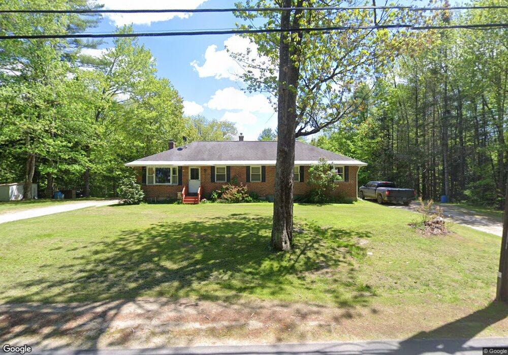
229 West Rd Bowdoin, ME 04287
Estimated Value: $346,000 - $445,000
2
Beds
2
Baths
1,534
Sq Ft
$258/Sq Ft
Est. Value
About This Home
This home is located at 229 West Rd, Bowdoin, ME 04287 and is currently estimated at $396,066, approximately $258 per square foot. 229 West Rd is a home with nearby schools including Mt Ararat High School.
Create a Home Valuation Report for This Property
The Home Valuation Report is an in-depth analysis detailing your home's value as well as a comparison with similar homes in the area
Home Values in the Area
Average Home Value in this Area
Tax History
| Year | Tax Paid | Tax Assessment Tax Assessment Total Assessment is a certain percentage of the fair market value that is determined by local assessors to be the total taxable value of land and additions on the property. | Land | Improvement |
|---|---|---|---|---|
| 2025 | $3,728 | $350,000 | $89,200 | $260,800 |
| 2024 | $3,395 | $350,000 | $89,200 | $260,800 |
| 2023 | $3,025 | $166,200 | $48,500 | $117,700 |
| 2022 | $2,962 | $175,250 | $48,480 | $126,770 |
| 2021 | $3,041 | $183,220 | $48,480 | $134,740 |
| 2020 | $2,932 | $183,220 | $48,480 | $134,740 |
| 2019 | $0 | $183,220 | $48,480 | $134,740 |
| 2018 | $2,767 | $183,220 | $48,480 | $134,740 |
| 2017 | $2,748 | $183,220 | $48,480 | $134,740 |
| 2016 | $2,693 | $183,220 | $48,480 | $134,740 |
| 2015 | $2,675 | $183,220 | $48,480 | $134,740 |
| 2014 | $2,547 | $183,220 | $48,480 | $134,740 |
| 2013 | $2,469 | $189,930 | $48,480 | $141,450 |
Source: Public Records
Map
Nearby Homes
- 192 Bowdoinham Rd
- 139 Gould Rd
- 52 Ripley Hill Rd
- 1524 Augusta Rd
- 36.5 Acres Augusta Rd
- 51 Gould Rd
- 219 Dead River Rd
- 178 Main St
- 131 Summer St
- 83 Bowdoin Pines Rd Unit 83
- 0 Bowdoinham Rd Unit Lot B
- 23 Dumas St
- 13 Glenview Dr
- 33 East Ave
- 5 Colonial Dr
- 2 Bulick St
- 9 Stevens Dr
- 99 Main St
- 0 King Rd Unit C4
- 0 King Rd Unit C3
Your Personal Tour Guide
Ask me questions while you tour the home.