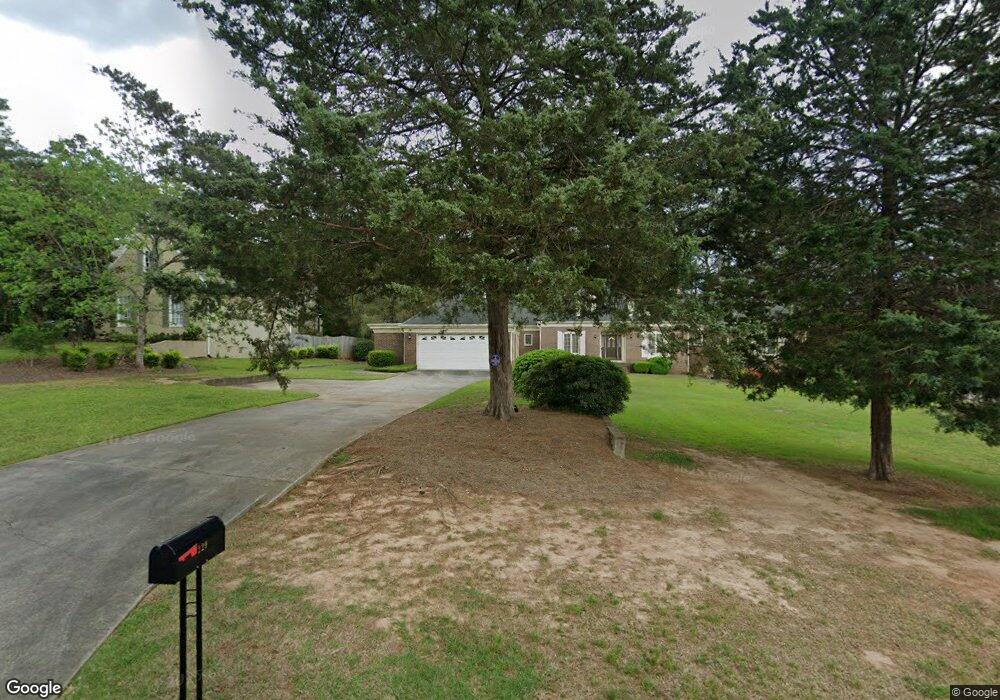
229 Westchester Dr Unit 17 Griffin, GA 30223
Spalding County NeighborhoodEstimated Value: $423,480 - $569,000
4
Beds
3
Baths
3,214
Sq Ft
$153/Sq Ft
Est. Value
About This Home
This home is located at 229 Westchester Dr Unit 17, Griffin, GA 30223 and is currently estimated at $492,120, approximately $153 per square foot. 229 Westchester Dr Unit 17 is a home located in Spalding County with nearby schools including Orrs Elementary School, Carver Road Middle School, and Griffin High School.
Ownership History
Date
Name
Owned For
Owner Type
Purchase Details
Closed on
Mar 16, 2015
Sold by
Duffee Donald Gary
Bought by
Duffee Betty S
Current Estimated Value
Purchase Details
Closed on
Jun 3, 2005
Sold by
Esposito Barbara
Bought by
Duffee Duffee D and Duffee Betty
Purchase Details
Closed on
Oct 30, 1987
Sold by
Pilkenton Remodeling & Construction
Bought by
Bianchi Viola B and Bianchi Frank J
Create a Home Valuation Report for This Property
The Home Valuation Report is an in-depth analysis detailing your home's value as well as a comparison with similar homes in the area
Home Values in the Area
Average Home Value in this Area
Purchase History
| Date | Buyer | Sale Price | Title Company |
|---|---|---|---|
| Duffee Betty S | -- | -- | |
| Duffee Duffee D | $225,500 | -- | |
| Bianchi Viola B | $32,000 | -- |
Source: Public Records
Tax History Compared to Growth
Tax History
| Year | Tax Paid | Tax Assessment Tax Assessment Total Assessment is a certain percentage of the fair market value that is determined by local assessors to be the total taxable value of land and additions on the property. | Land | Improvement |
|---|---|---|---|---|
| 2024 | $4,140 | $158,693 | $20,800 | $137,893 |
| 2023 | $4,140 | $158,693 | $20,800 | $137,893 |
| 2022 | $3,891 | $136,264 | $20,800 | $115,464 |
| 2021 | $2,844 | $91,208 | $20,800 | $70,408 |
| 2020 | $3,141 | $91,208 | $20,800 | $70,408 |
| 2019 | $3,198 | $91,208 | $20,800 | $70,408 |
| 2018 | $3,153 | $84,715 | $20,800 | $63,915 |
| 2017 | $3,076 | $84,715 | $20,800 | $63,915 |
| 2016 | $3,124 | $84,715 | $20,800 | $63,915 |
| 2015 | $3,174 | $84,715 | $20,800 | $63,915 |
| 2014 | -- | $84,715 | $20,800 | $63,915 |
Source: Public Records
Map
Nearby Homes
- 228 Westchester Dr
- 106 Cheshire Dr
- 425 Audubon Cir
- 0 N Pine Hill Rd Unit 10465642
- 0 N Pine Hill Rd Unit 10465641
- 0 N Pine Hill Rd Unit 10465639
- 0 N Pine Hill Rd Unit 10465638
- 0 N Pine Hill Rd Unit 10465637
- 405 N Pine Hill Rd
- 1044 W Ellis Rd
- 1851 Abbey Rd
- 1818 Abbey Rd
- 312 Ac W Ellis Rd
- 1833 Abbey Rd
- 1725 Wesminster Cir
- 1725 Wesminster Dr
- 0 Westmoreland Rd Unit 10545005
- 1804, 1796 W Mcintosh Rd
- 1812 W Mcintosh Rd
- 223 Patriots Way
- 229 Westchester Dr
- 231 Westchester Dr
- 227 Westchester Dr
- 225 Westchester Dr
- 220 Westchester Dr
- 235 Westchester Dr
- 232 Westchester Dr
- 223 Westchester Dr
- 221 Westchester Dr
- 16 Stillwater Trace
- 20 Stillwater Trace
- 20 Stillwater Trace Unit 64
- 218 Westchester Dr
- 236 Westchester Dr
- 236 Westchester Dr
- 219 Westchester Dr
- 240 Westchester Dr
- 545 N Pine Hill Rd
- 545 N Pinehill Rd
- 216 Westchester Dr