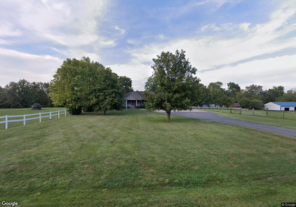
2290 Hulett Ln Decatur, IL 62521
Estimated Value: $212,000 - $309,000
3
Beds
2
Baths
3,676
Sq Ft
$72/Sq Ft
Est. Value
About This Home
This home is located at 2290 Hulett Ln, Decatur, IL 62521 and is currently estimated at $263,828, approximately $71 per square foot. 2290 Hulett Ln is a home located in Macon County with nearby schools including South Shores Elementary School, Stephen Decatur Middle School, and Holy Family Catholic School.
Ownership History
Date
Name
Owned For
Owner Type
Purchase Details
Closed on
Jul 8, 2024
Sold by
Caswell Paul Eugene and Caswell Kaylie Ann
Bought by
Stahl Jake
Current Estimated Value
Purchase Details
Closed on
May 29, 2019
Sold by
Orr Sherri and Johnson Leslie
Bought by
Caswell Paul Eugene and Caswell Kaylie Ann
Home Financials for this Owner
Home Financials are based on the most recent Mortgage that was taken out on this home.
Original Mortgage
$134,300
Interest Rate
4.1%
Mortgage Type
New Conventional
Create a Home Valuation Report for This Property
The Home Valuation Report is an in-depth analysis detailing your home's value as well as a comparison with similar homes in the area
Home Values in the Area
Average Home Value in this Area
Purchase History
| Date | Buyer | Sale Price | Title Company |
|---|---|---|---|
| Stahl Jake | $255,000 | None Listed On Document | |
| Caswell Paul Eugene | $168,000 | None Available |
Source: Public Records
Mortgage History
| Date | Status | Borrower | Loan Amount |
|---|---|---|---|
| Previous Owner | Caswell Paul Eugene | $134,300 |
Source: Public Records
Tax History Compared to Growth
Tax History
| Year | Tax Paid | Tax Assessment Tax Assessment Total Assessment is a certain percentage of the fair market value that is determined by local assessors to be the total taxable value of land and additions on the property. | Land | Improvement |
|---|---|---|---|---|
| 2024 | $6,785 | $72,095 | $6,869 | $65,226 |
| 2023 | $5,736 | $60,775 | $6,869 | $53,906 |
| 2022 | $5,543 | $57,980 | $6,553 | $51,427 |
| 2021 | $5,171 | $55,158 | $6,234 | $48,924 |
| 2020 | $4,236 | $52,281 | $5,909 | $46,372 |
| 2019 | $4,236 | $52,281 | $5,909 | $46,372 |
| 2018 | $3,160 | $50,290 | $5,684 | $44,606 |
| 2017 | $2,925 | $49,822 | $5,631 | $44,191 |
| 2016 | $2,949 | $49,717 | $5,619 | $44,098 |
| 2015 | $2,833 | $48,269 | $5,455 | $42,814 |
| 2014 | $2,643 | $47,791 | $5,401 | $42,390 |
| 2013 | $2,645 | $47,791 | $5,401 | $42,390 |
Source: Public Records
Map
Nearby Homes
- 2207 Forest Crest Dr
- 2529 W Alice Ln
- 1739 Moorwood Dr
- 15 Calumet Rd
- 2705 S Taylor Rd
- 2970 Olympia Dr
- 1450 Masters Ln
- 1833 Burning Tree Dr
- 3316 Ferris Dr
- 3031 Heritage Rd
- 1740 S Fairview Ave
- 1745 Heritage Rd
- 1677 W Sunset Ave
- 134 Madison Dr
- 4220 S Lake Ct
- 2913 S Danny Dr
- 2704 Brookville Place
- 51 Medial Dr
- 353 S Linden Ave
- 344 W Imboden Dr
- 2290 Hulett Dr
- 2295 Hulett Ln
- 2340 S Taylorville Rd
- 2420 S Taylorville Rd
- 2295 Hulett Dr
- 2440 Hulett Dr
- 2420 Hulett Dr
- 2420 Hulett Dr
- 2480 Hulett Dr
- 2444 Hulett Dr
- 2339 Forest Crest Dr
- 2369 Forest Crest Dr
- 2329 Forest Crest Dr
- 2349 Forest Crest Dr
- 2411 W Alice Ln
- 2444 Forest Crest Rd
- 2444 Forest Crest Dr
- 2240 Forest Crest Dr
- 2423 W Alice Ln
- 2309 Forest Crest Dr