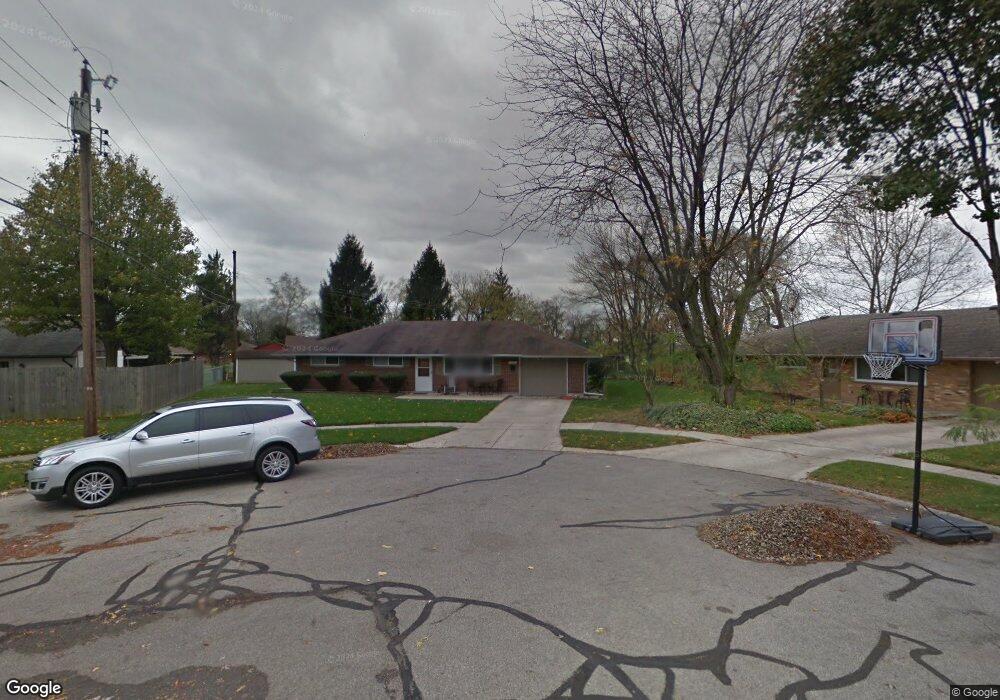
2290 Mattis Dr Dayton, OH 45439
Woodbourne-Hyde Park NeighborhoodEstimated Value: $171,360 - $197,000
3
Beds
1
Bath
1,080
Sq Ft
$172/Sq Ft
Est. Value
About This Home
This home is located at 2290 Mattis Dr, Dayton, OH 45439 and is currently estimated at $186,090, approximately $172 per square foot. 2290 Mattis Dr is a home located in Montgomery County with nearby schools including West Carrollton High School, Miami Valley Academies, and St. Albert the Great Catholic School.
Ownership History
Date
Name
Owned For
Owner Type
Purchase Details
Closed on
Jun 15, 2000
Sold by
Nieter Jack H
Bought by
Tayse Christopher T
Current Estimated Value
Purchase Details
Closed on
Aug 30, 1999
Sold by
Haynes Brion K
Bought by
Nieter Jack H
Home Financials for this Owner
Home Financials are based on the most recent Mortgage that was taken out on this home.
Original Mortgage
$85,456
Interest Rate
7.59%
Mortgage Type
FHA
Create a Home Valuation Report for This Property
The Home Valuation Report is an in-depth analysis detailing your home's value as well as a comparison with similar homes in the area
Home Values in the Area
Average Home Value in this Area
Purchase History
| Date | Buyer | Sale Price | Title Company |
|---|---|---|---|
| Tayse Christopher T | $84,700 | -- | |
| Nieter Jack H | $85,500 | -- |
Source: Public Records
Mortgage History
| Date | Status | Borrower | Loan Amount |
|---|---|---|---|
| Previous Owner | Nieter Jack H | $85,456 |
Source: Public Records
Tax History Compared to Growth
Tax History
| Year | Tax Paid | Tax Assessment Tax Assessment Total Assessment is a certain percentage of the fair market value that is determined by local assessors to be the total taxable value of land and additions on the property. | Land | Improvement |
|---|---|---|---|---|
| 2024 | $3,124 | $44,410 | $7,820 | $36,590 |
| 2023 | $3,124 | $44,410 | $7,820 | $36,590 |
| 2022 | $2,722 | $29,810 | $5,250 | $24,560 |
| 2021 | $2,512 | $29,810 | $5,250 | $24,560 |
| 2020 | $2,513 | $29,810 | $5,250 | $24,560 |
| 2019 | $2,539 | $26,360 | $5,250 | $21,110 |
| 2018 | $2,376 | $26,360 | $5,250 | $21,110 |
| 2017 | $2,361 | $26,360 | $5,250 | $21,110 |
| 2016 | $2,389 | $25,810 | $5,250 | $20,560 |
| 2015 | $2,223 | $25,810 | $5,250 | $20,560 |
| 2014 | $2,223 | $25,810 | $5,250 | $20,560 |
| 2012 | -- | $27,840 | $7,700 | $20,140 |
Source: Public Records
Map
Nearby Homes
- 4051 Ellery Ave
- 4207 S Dixie Dr
- 2090 Mattis Dr
- 1692 Hillwood Dr
- 1673 W Stroop Rd
- 2639 Blanchard Ave
- 1952 Tait Circle Rd
- 4301 Tait Rd
- 4629 Richwood Dr
- 1905 Tait Circle Rd
- 4661 Richwood Dr
- 2571 Cluster Ave
- 2050 William Ln
- 4792 Loxley Dr
- 5084 Mays Ave
- 3720 Ridgeleigh Rd Unit D
- 1955 Kresswood Cir
- 2399 Polo Park Dr
- 1349 Tamerlane Rd
- 3021 Old Sellars Rd
- 2298 Mattis Dr
- 2303 Owendale Dr
- 4117 Waterbury Dr
- 2309 Owendale Dr
- 4135 Waterbury Dr
- 2297 Mattis Dr
- 2289 Mattis Dr
- 4087 Waterbury Dr
- 4118 Waterbury Dr
- 4136 Waterbury Dr
- 2280 Norway Dr
- 2308 Owendale Dr
- 4069 Waterbury Dr
- 4088 Waterbury Dr
- 2280 Owendale Dr
- 2286 Norway Dr
- 2238 Mattis Dr
- 2251 Owendale Dr
- 2266 Owendale Dr
- 2239 Mattis Dr