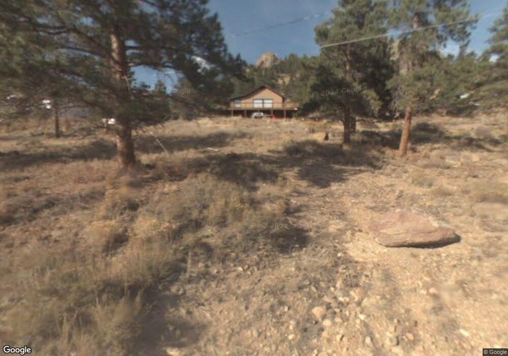
2291 Valerian Ln Estes Park, CO 80517
Estimated Value: $749,000 - $1,104,000
3
Beds
2
Baths
1,708
Sq Ft
$530/Sq Ft
Est. Value
About This Home
This home is located at 2291 Valerian Ln, Estes Park, CO 80517 and is currently estimated at $905,939, approximately $530 per square foot. 2291 Valerian Ln is a home located in Larimer County with nearby schools including Estes Park K-5 School, Estes Park Options School, and Estes Park Middle School.
Ownership History
Date
Name
Owned For
Owner Type
Purchase Details
Closed on
Dec 20, 2023
Sold by
Lindsey Michael S and Lindsey Michael Shane
Bought by
Lindsey Revocable Trust and Lindsey
Current Estimated Value
Purchase Details
Closed on
Jan 15, 2021
Sold by
Irwin Marilyn A
Bought by
Marilyn A Irwin Trust
Purchase Details
Closed on
Feb 12, 2010
Sold by
Irwin Donald B and Irwin Marilyn A
Bought by
Irwin Marilyn A
Purchase Details
Closed on
Aug 31, 1998
Sold by
Irwin Donald B
Bought by
Irwin Donald B and Irwin Marilyn A
Create a Home Valuation Report for This Property
The Home Valuation Report is an in-depth analysis detailing your home's value as well as a comparison with similar homes in the area
Home Values in the Area
Average Home Value in this Area
Purchase History
| Date | Buyer | Sale Price | Title Company |
|---|---|---|---|
| Lindsey Revocable Trust | -- | None Listed On Document | |
| Marilyn A Irwin Trust | -- | None Listed On Document | |
| Irwin Marilyn A | -- | None Available | |
| Irwin Donald B | -- | -- |
Source: Public Records
Tax History Compared to Growth
Tax History
| Year | Tax Paid | Tax Assessment Tax Assessment Total Assessment is a certain percentage of the fair market value that is determined by local assessors to be the total taxable value of land and additions on the property. | Land | Improvement |
|---|---|---|---|---|
| 2025 | $3,822 | $59,295 | $23,450 | $35,845 |
| 2024 | $3,454 | $59,295 | $23,450 | $35,845 |
| 2022 | $3,227 | $50,242 | $16,333 | $33,909 |
| 2021 | $3,313 | $51,688 | $16,803 | $34,885 |
| 2020 | $2,791 | $44,116 | $16,803 | $27,313 |
| 2019 | $3,719 | $56,779 | $16,803 | $39,976 |
| 2018 | $2,733 | $42,538 | $15,480 | $27,058 |
| 2017 | $2,748 | $42,538 | $15,480 | $27,058 |
| 2016 | $2,325 | $38,924 | $16,318 | $22,606 |
| 2015 | $2,296 | $38,930 | $16,320 | $22,610 |
| 2014 | $2,077 | $36,750 | $22,290 | $14,460 |
Source: Public Records
Map
Nearby Homes
- 725 Upper Larkspur Ln
- 739 Larkspur Rd
- 1611 High Dr
- 810 Larkspur Rd
- 811 Larkspur Rd
- 831 Larkspur Rd
- 1565 Highway 66 Unit 46
- 1565 Highway 66 Unit 33
- 1565 Highway 66 Unit 27
- 1565 Highway 66 Unit 49
- 1565 Highway 66 Unit 28
- 2327 Deer Ridge Dr
- 2220 Eagle Cliff Rd
- 1401 High Dr
- 2238 Eagle Cliff Rd
- 1575 Lower Broadview Rd
- 1070 Crestview Ct Unit 7
- 1070 Crestview Ct Unit 4
- 1895 Fall River Rd
- 1263 Broadview
- 2331 Penstemon Dr
- 2050 Upper Upper High Dr
- 2251 Upper High Dr
- 2260 Penstemon Dr
- 2280 Valerian Ln
- 2280 Valerian Ln
- 2341 Penstemon Dr
- 2330 Upper High Dr
- 2340 Upper High Dr
- 2300 Upper High Dr
- 2334 Upper High Dr
- 2230 Upper High Dr
- 2301 High Dr
- 2200 Penstemon Dr
- 2371 High Dr
- 2160 Upper High Dr
- 2261 High Dr
- 2221 High Dr
- 2121 High Dr
- 2211 High Dr