22910 80th Ave N Port Byron, IL 61275
Estimated Value: $367,083
--
Bed
--
Bath
2,572
Sq Ft
$143/Sq Ft
Est. Value
About This Home
This home is located at 22910 80th Ave N, Port Byron, IL 61275 and is currently estimated at $367,083, approximately $142 per square foot. 22910 80th Ave N is a home located in Rock Island County with nearby schools including Riverdale Elementary School, Riverdale Middle School, and Riverdale Senior High School.
Ownership History
Date
Name
Owned For
Owner Type
Purchase Details
Closed on
Dec 19, 2024
Sold by
Killinger Steven A and Killinger Annette M
Bought by
Steven A Killinger Trust and Annette M Killinger Trust
Current Estimated Value
Purchase Details
Closed on
Feb 12, 2021
Sold by
Gabel Randall J and Gabel Mary L
Bought by
Gabel Randall J and Gabel Mary L
Home Financials for this Owner
Home Financials are based on the most recent Mortgage that was taken out on this home.
Original Mortgage
$150,000
Interest Rate
2.5%
Mortgage Type
New Conventional
Create a Home Valuation Report for This Property
The Home Valuation Report is an in-depth analysis detailing your home's value as well as a comparison with similar homes in the area
Home Values in the Area
Average Home Value in this Area
Purchase History
| Date | Buyer | Sale Price | Title Company |
|---|---|---|---|
| Steven A Killinger Trust | -- | None Listed On Document | |
| Steven A Killinger Trust | -- | None Listed On Document | |
| Gabel Randall J | -- | Midwest Community Title |
Source: Public Records
Mortgage History
| Date | Status | Borrower | Loan Amount |
|---|---|---|---|
| Previous Owner | Gabel Randall J | $150,000 |
Source: Public Records
Tax History Compared to Growth
Tax History
| Year | Tax Paid | Tax Assessment Tax Assessment Total Assessment is a certain percentage of the fair market value that is determined by local assessors to be the total taxable value of land and additions on the property. | Land | Improvement |
|---|---|---|---|---|
| 2024 | $6,804 | $105,510 | $3,834 | $101,676 |
| 2023 | $6,804 | $104,793 | $3,518 | $101,275 |
| 2022 | $4,758 | $75,045 | $3,332 | $71,713 |
| 2021 | $4,991 | $71,132 | $3,158 | $67,974 |
| 2020 | $5,431 | $76,776 | $9,938 | $66,838 |
| 2019 | $5,424 | $76,394 | $9,889 | $66,505 |
| 2018 | $5,822 | $83,120 | $6,601 | $76,519 |
| 2017 | $5,608 | $81,331 | $6,459 | $74,872 |
| 2016 | $5,479 | $79,347 | $6,301 | $73,046 |
| 2015 | $5,160 | $74,156 | $5,889 | $68,267 |
| 2014 | $1,244 | $71,648 | $5,690 | $65,958 |
| 2013 | $1,244 | $71,648 | $5,690 | $65,958 |
Source: Public Records
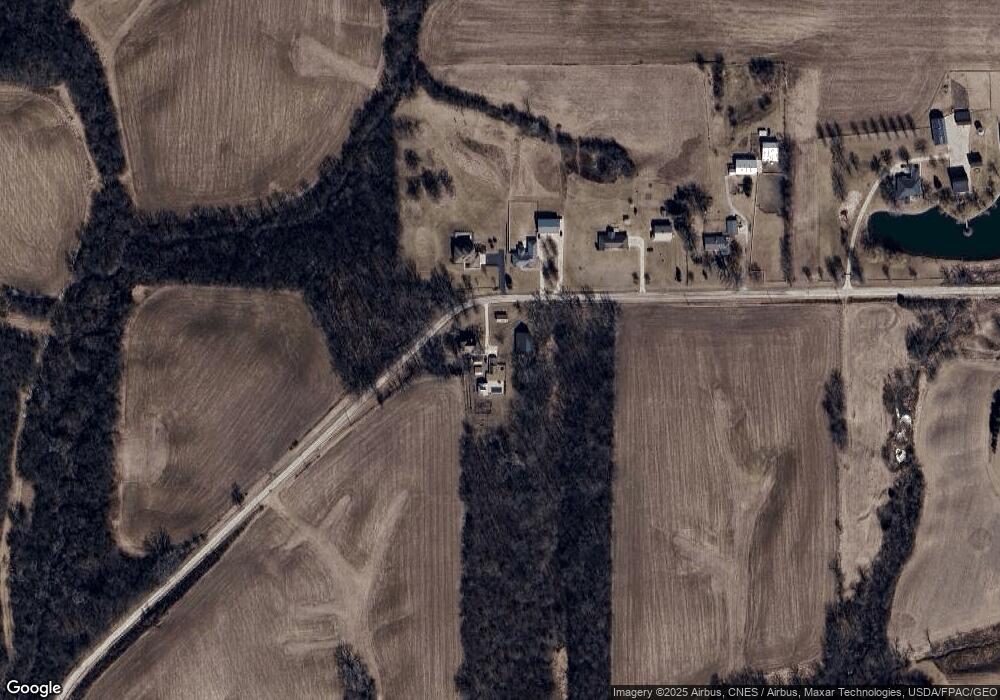
Map
Nearby Homes
- Lot 23 Scenic Hill
- 8804 217th St N
- 9721 234th St N
- 401 Oak Blvd
- 1914 Ridgefield Dr
- 24620 94th Ave N
- LOT 201 James St
- Lot 4 Lakeside Dr
- 5216 227th Street Ct N
- Lot 3 Lakeside Dr
- 706 N Main St
- 5122 230th St N
- 223 N 2nd St
- Lot A B C D N Cody Rd
- 228 S 2nd St
- 320 N 2nd St
- 218 Dodge St
- 1225 N 2nd St
- 127 Walnut St
- 1128 N Cody Rd
- 22919 80th Ave N
- 22915 80th Ave N
- 23005 80th Ave N
- 23109 80th Ave N
- Lake Out Lot IL 80th Ave N
- 23404 80th Ave N
- 23001 71st Ave N
- Lot 6 80th Ave N
- Lot 5 80th Ave N
- 23414 80th Ave N
- 23409 80th Ave N
- 22808 71st Ave N
- 23411 80th Ave N
- 22810 71st Ave N
- 21927 71st Ave N
- 22002 71st Ave N
- 23523 80th Ave N
- 23638 77th Avenue Ct N
- 23608 80th Ave N
- 23529 80th Ave N