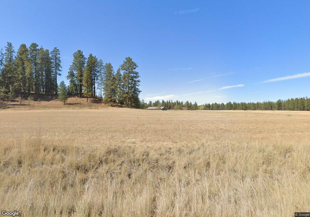
22910 S Parker Rd Spangle, WA 99031
Estimated Value: $1,022,000
4
Beds
3
Baths
1,692
Sq Ft
$604/Sq Ft
Est. Value
About This Home
This home is located at 22910 S Parker Rd, Spangle, WA 99031 and is currently estimated at $1,022,000, approximately $604 per square foot. 22910 S Parker Rd is a home located in Spokane County with nearby schools including Liberty Elementary/Junior High School and Liberty High School.
Ownership History
Date
Name
Owned For
Owner Type
Purchase Details
Closed on
Oct 21, 2009
Sold by
Fink Lovell G and Fink Valerie J
Bought by
Fink Lovell G and Fink Valerie J
Current Estimated Value
Purchase Details
Closed on
May 14, 2009
Sold by
Chicha George S
Bought by
Fink Lovell G and Fink Valerie J
Purchase Details
Closed on
May 9, 2006
Sold by
Chicha George S
Bought by
Mangis David J and Mangis Judy L
Create a Home Valuation Report for This Property
The Home Valuation Report is an in-depth analysis detailing your home's value as well as a comparison with similar homes in the area
Home Values in the Area
Average Home Value in this Area
Purchase History
| Date | Buyer | Sale Price | Title Company |
|---|---|---|---|
| Fink Lovell G | -- | None Available | |
| Fink Lovell G | $400,000 | Spokane County Title Co | |
| Mangis David J | -- | None Available |
Source: Public Records
Tax History Compared to Growth
Tax History
| Year | Tax Paid | Tax Assessment Tax Assessment Total Assessment is a certain percentage of the fair market value that is determined by local assessors to be the total taxable value of land and additions on the property. | Land | Improvement |
|---|---|---|---|---|
| 2025 | $5,347 | $753,500 | $242,300 | $511,200 |
| 2024 | $5,347 | $698,890 | $144,890 | $554,000 |
| 2023 | $5,351 | $728,020 | $174,020 | $554,000 |
| 2022 | $5,174 | $789,320 | $174,020 | $615,300 |
| 2021 | $4,730 | $559,500 | $158,200 | $401,300 |
| 2020 | $4,281 | $466,150 | $118,250 | $347,900 |
| 2019 | $3,723 | $447,210 | $126,710 | $320,500 |
| 2018 | $4,073 | $420,910 | $112,410 | $308,500 |
| 2017 | $3,574 | $364,060 | $85,660 | $278,400 |
| 2016 | $3,033 | $317,980 | $46,880 | $271,100 |
| 2015 | $3,219 | $319,180 | $46,380 | $272,800 |
| 2014 | -- | $323,880 | $46,380 | $277,500 |
| 2013 | -- | $0 | $0 | $0 |
Source: Public Records
Map
Nearby Homes
- 20xxx S Parker Rd
- 21608 S Mill Rd
- 2207 W Depot Springs Rd
- 22711 S Gateway Ln
- XXXX S Gateway Ln
- 102 E Cameron Rd
- 25207 S Rupp Rd
- 1112 E Jennings Rd
- 18616 S Smythe Rd
- 177XX S Smythe Rd
- Lot 2 Nka Cheney Spangle Rd Unit Parcel 32085.9041
- 20112 S Short Rd
- 18711 S Aspen Meadows Dr
- 17621 S Lois Dr
- 17305 S Blasted Ln
- 16621 S Sherman Rd
- 17522 S Lois Dr
- 16771 S Sherman Rd
- 27711 S Cheney Spangle Rd
- 16220 S Sherman Rd Unit 15
- 22912 S Parker Rd
- 22916 S Parker Rd
- 22429 S Parker Rd
- 22427 S Parker Rd
- 23123 S Parker Rd
- 22425 S Parker Rd
- 827 W Watt Rd
- 22212 Sorrento Ln
- 22022 S Parker Rd
- 23520 S Parker Rd
- 1821 W Depot Springs Rd
- 21912 S Parker Rd
- 1323 W Depot Springs Rd
- 505 W Watt Rd
- 1407 W Depot Springs Rd
- 21710 S Mill Rd
- 0 S Parker Rd Unit 29019361
- 0 S Parker Rd Unit 29029509
- 00 S Parker Rd
- 0 S Parker Rd Unit SAR29019333