229121 Cloverbelt Rd Wausau, WI 54403
Estimated Value: $311,547 - $450,000
--
Bed
--
Bath
--
Sq Ft
5.61
Acres
About This Home
This home is located at 229121 Cloverbelt Rd, Wausau, WI 54403 and is currently estimated at $373,137. 229121 Cloverbelt Rd is a home located in Marathon County with nearby schools including Riverside Elementary School, D.C. Everest Junior High School, and D.C. Everest Middle School.
Ownership History
Date
Name
Owned For
Owner Type
Purchase Details
Closed on
May 29, 2009
Sold by
Prince Jennifer
Bought by
Jennifer M Prince Revocable Trust
Current Estimated Value
Home Financials for this Owner
Home Financials are based on the most recent Mortgage that was taken out on this home.
Original Mortgage
$59,929
Interest Rate
4.85%
Mortgage Type
New Conventional
Create a Home Valuation Report for This Property
The Home Valuation Report is an in-depth analysis detailing your home's value as well as a comparison with similar homes in the area
Home Values in the Area
Average Home Value in this Area
Purchase History
| Date | Buyer | Sale Price | Title Company |
|---|---|---|---|
| Jennifer M Prince Revocable Trust | -- | None Available |
Source: Public Records
Mortgage History
| Date | Status | Borrower | Loan Amount |
|---|---|---|---|
| Closed | Jennifer M Prince Revocable Trust | $59,929 |
Source: Public Records
Tax History Compared to Growth
Tax History
| Year | Tax Paid | Tax Assessment Tax Assessment Total Assessment is a certain percentage of the fair market value that is determined by local assessors to be the total taxable value of land and additions on the property. | Land | Improvement |
|---|---|---|---|---|
| 2024 | $1,731 | $287,000 | $41,800 | $245,200 |
| 2023 | $3,790 | $287,000 | $41,800 | $245,200 |
| 2022 | $3,241 | $158,800 | $21,100 | $137,700 |
| 2021 | $3,084 | $158,800 | $21,100 | $137,700 |
| 2020 | $3,025 | $158,800 | $21,100 | $137,700 |
| 2019 | $2,938 | $158,800 | $21,100 | $137,700 |
| 2018 | $2,923 | $158,800 | $21,100 | $137,700 |
| 2017 | $2,988 | $158,800 | $21,100 | $137,700 |
| 2016 | $2,886 | $158,800 | $21,100 | $137,700 |
| 2015 | $2,972 | $158,800 | $21,100 | $137,700 |
| 2014 | $2,871 | $158,800 | $21,100 | $137,700 |
Source: Public Records
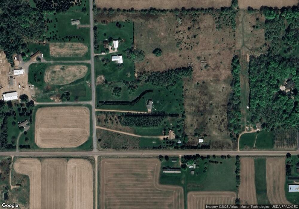
Map
Nearby Homes
- 6110 Kayak Dr
- Lot 1 Mercedes Rd
- 205 Aspen Grove Ln
- 1723 Mulligan Dr
- 5906 Alex St
- 501 Aspen Grove Ln
- 1313 Bent Stick Dr
- 1401 Bent Stick Dr Unit Lot 12
- 1305 Bent Stick Dr Unit 1
- 1301 Bent Stick Dr Unit 2
- 1509 Bent Stick Dr
- 6304 Perch Dr
- 6308 Perch Dr
- 3706 Muskie Dr
- 1401 Green Vistas Dr Unit Condominium Unit 9
- 6312 Perch Dr
- 1403 Green Vistas Dr Unit Condominium Unit 10
- 230912 Clover Creek Rd
- 6316 Perch Dr
- 3710 Muskie Dr
- 1207 S 57th St
- - County Rd N
- 1103 S 57th St
- Lot 2 Townline Rd
- 4.69 acres Townline Rd
- 160235 Townline Rd
- 160402 Townline Rd
- 160402 Townline Rd
- 229356 Cloverbelt Rd
- 229256 Cloverbelt Rd
- 159774 Townline Rd Unit 5406
- 160570 Townline Rd
- 159761 Townline Rd
- 6402 Townline Rd
- 808 S 57th St
- 6406 Townline Rd
- 704 S 57th St
- 7.795 Acres Mcintosh St
- 159948 Mcintosh St
- 6611 Townline Rd