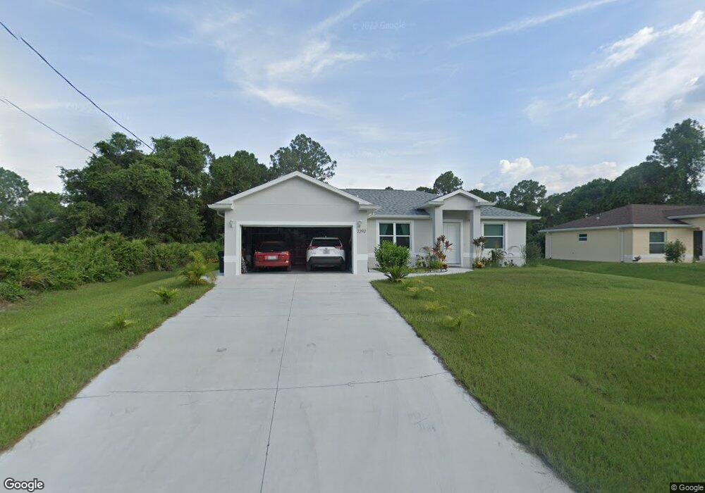
2292 Rolling Rd North Port, FL 34288
Estimated Value: $305,262 - $365,000
3
Beds
2
Baths
1,541
Sq Ft
$217/Sq Ft
Est. Value
About This Home
This home is located at 2292 Rolling Rd, North Port, FL 34288 and is currently estimated at $334,066, approximately $216 per square foot. 2292 Rolling Rd is a home with nearby schools including Toledo Blade Elementary School, North Port High School, and Woodland Middle School.
Ownership History
Date
Name
Owned For
Owner Type
Purchase Details
Closed on
Jan 7, 2019
Sold by
Revocabl Bruce Patricia Carla
Bought by
Voychik John Ivan and Voychik Lyubov Vladimirovna
Current Estimated Value
Purchase Details
Closed on
Aug 28, 2015
Sold by
Bruce Robbie D and Bruce Patricia Carla
Bought by
Bruce Patricia Carla and Patricia Carla Bruce Revocable Trust
Purchase Details
Closed on
Jul 21, 2005
Sold by
Jocor Holdings Llc
Bought by
Bruce Robbie and Bruce Patricia Carla
Purchase Details
Closed on
Jul 20, 2005
Sold by
Bernardi Michael P and Bernardi Patricia M
Bought by
Jocor Holdings Llc
Create a Home Valuation Report for This Property
The Home Valuation Report is an in-depth analysis detailing your home's value as well as a comparison with similar homes in the area
Home Values in the Area
Average Home Value in this Area
Purchase History
| Date | Buyer | Sale Price | Title Company |
|---|---|---|---|
| Voychik John Ivan | $8,450 | Gold Crest Title Services | |
| Bruce Patricia Carla | -- | Attorney | |
| Bruce Robbie | $45,000 | Old Florida Title | |
| Jocor Holdings Llc | $33,100 | Old Florida Title |
Source: Public Records
Tax History Compared to Growth
Tax History
| Year | Tax Paid | Tax Assessment Tax Assessment Total Assessment is a certain percentage of the fair market value that is determined by local assessors to be the total taxable value of land and additions on the property. | Land | Improvement |
|---|---|---|---|---|
| 2024 | $3,020 | $193,631 | -- | -- |
| 2023 | $3,020 | $187,991 | $0 | $0 |
| 2022 | $2,921 | $182,516 | $0 | $0 |
| 2021 | $2,866 | $177,200 | $10,000 | $167,200 |
| 2020 | $691 | $8,900 | $8,900 | $0 |
| 2019 | $385 | $5,700 | $5,700 | $0 |
| 2018 | $383 | $5,500 | $5,500 | $0 |
| 2017 | $370 | $3,993 | $0 | $0 |
| 2016 | $352 | $4,500 | $4,500 | $0 |
| 2015 | $353 | $4,000 | $4,000 | $0 |
| 2014 | $334 | $3,000 | $0 | $0 |
Source: Public Records
Map
Nearby Homes
- Lot 18, Rolling Rd
- 1314 Landsdowne Ave
- 1342 Landsdowne Ave
- 0 Kabbaby St Unit MFRC7513403
- 0 Kabbaby St Unit MFRA4662587
- 2636 Rolling Rd
- 0 Rolling Rd & E Hallmark Blvd
- Lot 29 Gourmet Rd
- 0 Jeannin Dr Unit MFRTB8439136
- Lot 47 E Hallmark Blvd
- 0 Rufus Rd Unit MFRTB8429498
- 0 Rufus Rd Unit MFRA4646759
- 0 Rufus Rd Unit MFRTB8429490
- 0 Rufus Rd Unit MFRA4650449
- 0 Rufus Rd Unit MFRC7488109
- 0 E Hallmark Blvd Unit MFRC7516640
- 0 Gourmet Rd Unit A4544969
- 0 Gourmet Rd Unit MFRN6139322
- 2164 Jeannin Dr
- Lot 1 Gascom St
- 2308 Rolling Rd
- 2435 Modern Ct
- 2309 Rolling Rd
- 2400 Modern Ct
- 2261 Rolling Rd
- 2325 Rolling Rd
- 1166 Heritage Ave
- 2341 Rolling Rd
- 2229 Rolling Rd
- 2273 Kalani St
- 1871 Gourmet Rd
- 2241 Rolling Rd
- 2389 Rolling Rd
- Lot 17 Rolling Rd
- 1139167518 Rolling Rd
- 1167 Heritage Ave
- 1139167410 Heritage Ave
- 0 Rolling Rd Unit D6101864
- 0 Rolling Rd Unit D6101862
- 0 Rolling Rd Unit A4215107