2292 Wrens Hwy Thomson, GA 30824
Estimated Value: $223,000 - $865,780
2
Beds
1
Bath
1,288
Sq Ft
$359/Sq Ft
Est. Value
About This Home
This home is located at 2292 Wrens Hwy, Thomson, GA 30824 and is currently estimated at $462,927, approximately $359 per square foot. 2292 Wrens Hwy is a home with nearby schools including Thomson High School.
Ownership History
Date
Name
Owned For
Owner Type
Purchase Details
Closed on
Dec 30, 2020
Sold by
Usry Anthony Wayne
Bought by
Usry Anthony Wayne and Usry Cassandra Leigh
Current Estimated Value
Purchase Details
Closed on
Jun 5, 2018
Sold by
Usry Peggy Jean
Bought by
Cranford Jason Allen and Usry Cranford Amelia
Purchase Details
Closed on
Aug 13, 2015
Sold by
Usry Peggy Jean
Bought by
Usry Donald E and Usry Cynthia T
Purchase Details
Closed on
Jan 28, 2014
Sold by
Cranford Amelia Usry
Bought by
Cranford Jason Allen
Purchase Details
Closed on
Jan 9, 2014
Sold by
Usry Peggy J
Bought by
Usry Donald E
Purchase Details
Closed on
May 15, 2013
Sold by
Usry Peggy Jean
Bought by
Usry Peggy Jean
Purchase Details
Closed on
Sep 12, 1988
Bought by
Usry Thad
Create a Home Valuation Report for This Property
The Home Valuation Report is an in-depth analysis detailing your home's value as well as a comparison with similar homes in the area
Home Values in the Area
Average Home Value in this Area
Purchase History
| Date | Buyer | Sale Price | Title Company |
|---|---|---|---|
| Usry Anthony Wayne | -- | -- | |
| Usry Anthony Wayne | -- | -- | |
| Cranford Jason Allen | -- | -- | |
| Usry Terry | -- | -- | |
| Usry Donald E | -- | -- | |
| Cranford Jason Allen | -- | -- | |
| Usry Donald E | -- | -- | |
| Usry Peggy Jean | -- | -- | |
| Usry Thad | -- | -- |
Source: Public Records
Tax History Compared to Growth
Tax History
| Year | Tax Paid | Tax Assessment Tax Assessment Total Assessment is a certain percentage of the fair market value that is determined by local assessors to be the total taxable value of land and additions on the property. | Land | Improvement |
|---|---|---|---|---|
| 2025 | $1,981 | $266,232 | $222,134 | $44,098 |
| 2024 | $1,981 | $251,905 | $209,922 | $41,983 |
| 2023 | $1,934 | $250,190 | $209,921 | $40,269 |
| 2022 | $5,801 | $240,973 | $209,921 | $31,052 |
| 2021 | $5,642 | $228,979 | $204,314 | $24,665 |
| 2020 | $5,759 | $229,758 | $215,914 | $13,844 |
| 2019 | $5,823 | $229,758 | $215,914 | $13,844 |
| 2018 | $7,539 | $289,971 | $217,487 | $72,484 |
| 2017 | $7,304 | $291,441 | $217,487 | $73,954 |
| 2016 | $7,632 | $292,617 | $217,487 | $75,130 |
| 2015 | $3,417 | $151,473 | $138,832 | $12,642 |
| 2014 | $3,469 | $153,294 | $133,472 | $19,822 |
| 2013 | -- | $153,294 | $133,472 | $19,822 |
Source: Public Records
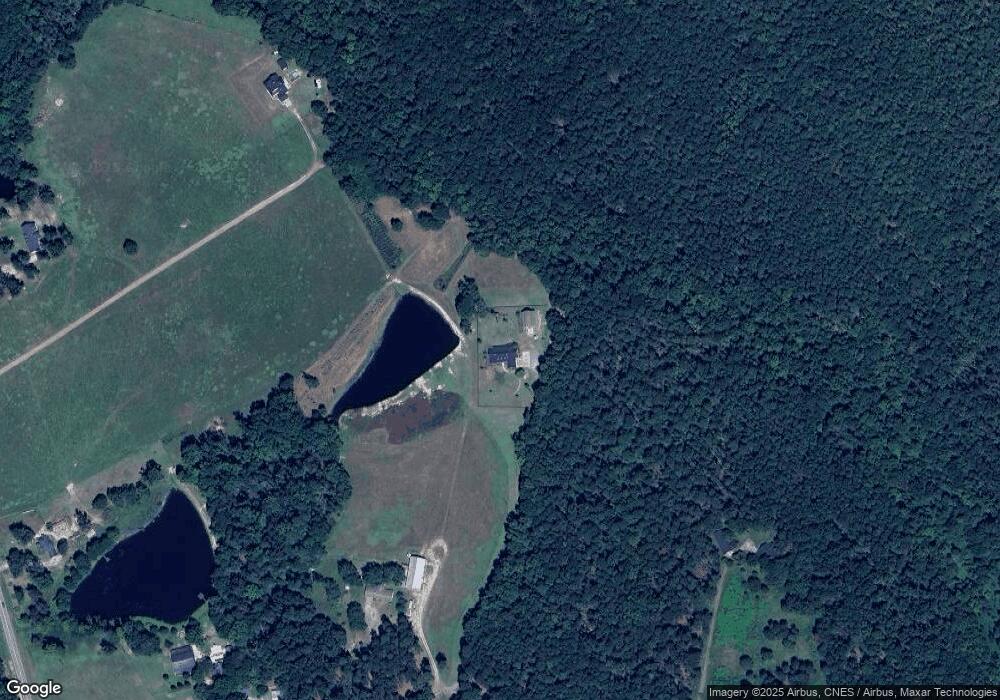
Map
Nearby Homes
- 789 George McDuffie Rd
- 1543 Wrens Hwy
- 000 Wrens Hwy
- 1761 Augusta Hwy
- 0 Wrens Hwy Unit 10652460
- 0 Wrens Hwy Unit 549833
- 1008 Wrens Hwy
- 1463 Lokey Dr
- 354 King St
- 0 Mitchner Rd Unit 548843
- 118 Langham St
- 415 Stonewall Dr
- 306 Michael St
- 2522 Ellington Airline Rd
- 67 Shadowmoor Cir
- 709 Pine Lane Dr
- 416 Forrest Clary Dr
- 609 Hillcrest Dr
- 1280 Acadia Dr
- 2445 Old Milledgeville Rd
- 2545 Old Milledgeville Rd
- 0 SW Old Milledgeville Rd
- 0 Old Milledgeville Rd
- 2413 Old Milledgeville Rd
- 2566 Old Milledgeville Rd
- 2430 Old Milledgeville Rd
- 2493 Old Milledgeville Rd
- 2222 Wrens Hwy
- 2359 Old Milledgeville Rd
- 2198 Wrens Hwy
- 2309 Wrens Hwy
- 2273 Wrens Hwy
- 2253 Wrens Hwy
- 2231 Wrens Hwy
- 183 Perdue Cir
- 2295 Old Milledgeville Rd
- 2425 Wrens Hwy
- 203 Perdue Cir
- 2508 Wrens Hwy