Estimated Value: $593,000
3
Beds
1
Bath
1,092
Sq Ft
$543/Sq Ft
Est. Value
About This Home
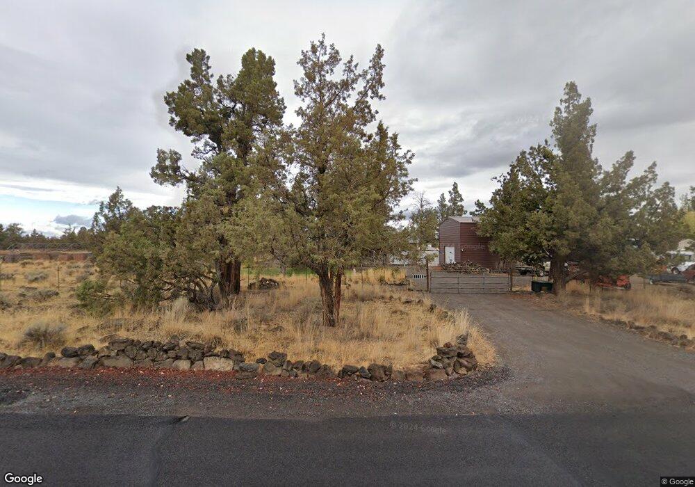
This home is located at 22920 Lariat Ln, Bend, OR 97701 and is currently estimated at $593,000, approximately $543 per square foot. 22920 Lariat Ln is a home located in Deschutes County with nearby schools including Ponderosa Elementary School, Sky View Middle School, and Mountain View Senior High School.
Ownership History
Date
Name
Owned For
Owner Type
Purchase Details
Closed on
Dec 18, 2009
Sold by
Grossman Randy E
Bought by
Grossman Randy E and Grossman Tora M
Current Estimated Value
Home Financials for this Owner
Home Financials are based on the most recent Mortgage that was taken out on this home.
Original Mortgage
$171,956
Interest Rate
4.88%
Mortgage Type
FHA
Purchase Details
Closed on
Feb 21, 2004
Sold by
Grossman Niela R
Bought by
Grossman Randy E
Home Financials for this Owner
Home Financials are based on the most recent Mortgage that was taken out on this home.
Original Mortgage
$134,289
Interest Rate
7.54%
Mortgage Type
Stand Alone Refi Refinance Of Original Loan
Create a Home Valuation Report for This Property
The Home Valuation Report is an in-depth analysis detailing your home's value as well as a comparison with similar homes in the area
Purchase History
| Date | Buyer | Sale Price | Title Company |
|---|---|---|---|
| Grossman Randy E | -- | Multiple | |
| Grossman Randy E | -- | Amerititle |
Source: Public Records
Mortgage History
| Date | Status | Borrower | Loan Amount |
|---|---|---|---|
| Closed | Grossman Randy E | $171,956 | |
| Closed | Grossman Randy E | $134,289 |
Source: Public Records
Tax History
| Year | Tax Paid | Tax Assessment Tax Assessment Total Assessment is a certain percentage of the fair market value that is determined by local assessors to be the total taxable value of land and additions on the property. | Land | Improvement |
|---|---|---|---|---|
| 2025 | $2,734 | $182,530 | -- | -- |
| 2024 | $2,616 | $177,220 | -- | -- |
| 2023 | $2,462 | $172,060 | $0 | $0 |
| 2022 | $2,270 | $162,190 | $0 | $0 |
| 2021 | $2,284 | $157,470 | $0 | $0 |
| 2020 | $2,156 | $157,470 | $0 | $0 |
| 2019 | $1,862 | $135,880 | $0 | $0 |
| 2018 | $1,808 | $131,930 | $0 | $0 |
| 2017 | $1,761 | $128,090 | $0 | $0 |
| 2016 | $1,673 | $124,360 | $0 | $0 |
| 2015 | $1,626 | $120,740 | $0 | $0 |
| 2014 | $1,574 | $117,230 | $0 | $0 |
Source: Public Records
Map
Nearby Homes
- 63420 Gentry Loop
- 63493 Gentry Loop
- 63805 NE Cricketwood Rd
- 62370 Wallace Rd
- 62825 Montara Dr
- 22350 Erickson Rd
- 63610 Deschutes Market Rd
- 62262 Chickadee Ln
- 62118 Cody Jr Rd
- 3808 NE Suchy St
- 3802 NE Suchy St
- 62946 Florence Dr
- 3095 NE Nipper Rd
- 3093 NE Nipper Rd
- 3711 NE Suchy St
- 3702 NE Suchy St
- 3735 NE Suchy St
- 21427 NE Hayloft Place
- 3727 NE Suchy St
- 3859 NE Petrosa Ave
- 22915 Lariat Ln
- 22880 Latigo Ct
- 22935 Lariat Ln
- 22883 Latigo Ct
- 22960 Lariat Ln
- 63540 Cimarron Dr
- 22965 Lariat Ln
- 22860 Latigo Ct
- 22855 Latigo Ct
- 22940 Branding Iron Ct
- 22884 Buckskin Ct
- 22960 Branding Iron Ct
- 22988 Lariat Ln
- 22860 Buckskin Ct
- 63510 Cimarron Dr
- 22947 Branding Iron Ct
- 22985 Lariat Ln
- 22885 Buckskin Ct
- 22980 Branding Iron Ct
Your Personal Tour Guide
Ask me questions while you tour the home.