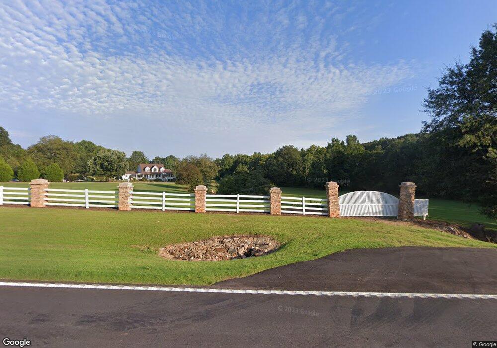
22929 Highway 59 Carnesville, GA 30521
Estimated Value: $416,000
3
Beds
2
Baths
2,196
Sq Ft
$189/Sq Ft
Est. Value
About This Home
This home is located at 22929 Highway 59, Carnesville, GA 30521 and is currently estimated at $416,000, approximately $189 per square foot. 22929 Highway 59 is a home located in Franklin County with nearby schools including Franklin County High School.
Ownership History
Date
Name
Owned For
Owner Type
Purchase Details
Closed on
Jun 4, 2019
Sold by
Poole J D
Bought by
Poole Cynthia E and Youngblood Gary Scott
Current Estimated Value
Purchase Details
Closed on
Feb 7, 2019
Sold by
Poole J D
Bought by
Youngblood Cindy L and Youngblood Gary Scott
Purchase Details
Closed on
May 17, 2018
Sold by
Beasley George Duncan
Bought by
Ben Will Properties Lp
Create a Home Valuation Report for This Property
The Home Valuation Report is an in-depth analysis detailing your home's value as well as a comparison with similar homes in the area
Home Values in the Area
Average Home Value in this Area
Purchase History
| Date | Buyer | Sale Price | Title Company |
|---|---|---|---|
| Poole Cynthia E | -- | -- | |
| Youngblood Cindy L | -- | -- | |
| Ben Will Properties Lp | $12,000 | -- |
Source: Public Records
Tax History Compared to Growth
Tax History
| Year | Tax Paid | Tax Assessment Tax Assessment Total Assessment is a certain percentage of the fair market value that is determined by local assessors to be the total taxable value of land and additions on the property. | Land | Improvement |
|---|---|---|---|---|
| 2024 | $335 | $81,992 | $81,992 | $0 |
| 2023 | $353 | $74,541 | $74,541 | $0 |
| 2022 | $343 | $57,838 | $57,838 | $0 |
| 2021 | $355 | $57,838 | $57,838 | $0 |
| 2020 | $348 | $48,198 | $48,198 | $0 |
| 2019 | $1,808 | $122,652 | $75,629 | $47,023 |
| 2018 | $1,540 | $109,861 | $70,184 | $39,677 |
| 2017 | $1,587 | $109,861 | $70,184 | $39,677 |
| 2016 | $1,502 | $105,011 | $70,184 | $34,827 |
| 2015 | -- | $105,011 | $70,184 | $34,827 |
| 2014 | -- | $99,332 | $70,184 | $29,148 |
| 2013 | -- | $99,998 | $70,184 | $29,814 |
Source: Public Records
Map
Nearby Homes
- 2100 Westbrook Rd
- 0 Varner Rd
- HWY 51 Owl Hollow Rd
- 2090 Southern Seed Way
- 0 Old Federal Rd Unit 6931372
- 161 Meadow Lake Dr
- 139 Meadow Lake Dr
- 0 Falcon Ln Unit 10495019
- 0 Falcon Ln Unit 1024877
- 1065 Hebron Rd
- 1111 Georgia 63
- 731 Borders Rd
- 823 Highway 63
- 14 Kristy Ln
- 8188 Sandy Cross Rd
- 0 Highway 59 Unit 10257590
- 0 Highway 59 Unit 10257605
- 4001 Highway 198
- 262 Garrison Rd
- 108 Indigo Cir
- 23023 Highway 59
- 22706 Highway 59
- 2706 Bold Springs Church Rd
- 2706 Bold Springs Church Rd
- 2865 Bold Springs Church Rd
- 161 Kathryn Way
- 164 Kathryn Way
- 93 Kathryn Way
- 171 Kathryn Way
- 641 Carson Farm Rd
- 630 Kathryn Ln
- 59 Kathryn Way
- 0 Kathryn Way Unit 3118357
- 0 Kathryn Way
- 160 Kathryn Way
- 23351 Georgia 59
- 743 Carson Farm Rd
- 23351 Highway 59
- 833 Carson Farm Rd
- 126 Kathryn Way