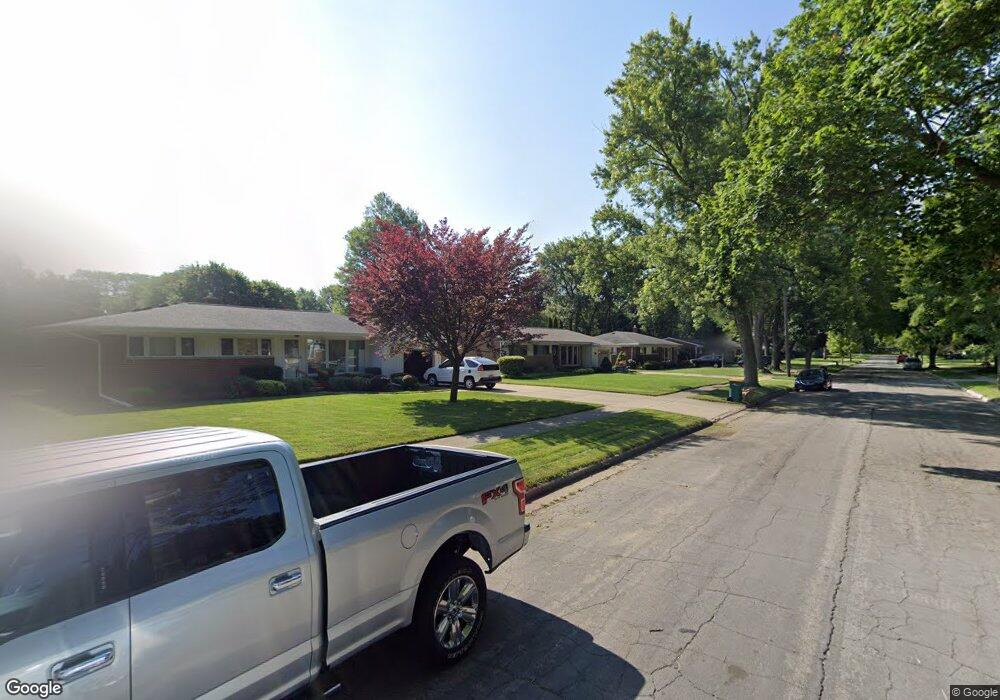
22940 Manning St Farmington, MI 48336
Estimated Value: $314,788 - $368,000
3
Beds
2
Baths
1,327
Sq Ft
$253/Sq Ft
Est. Value
About This Home
This home is located at 22940 Manning St, Farmington, MI 48336 and is currently estimated at $335,697, approximately $252 per square foot. 22940 Manning St is a home located in Oakland County with nearby schools including Longacre Elementary School, Power Middle School, and Farmington High School.
Ownership History
Date
Name
Owned For
Owner Type
Purchase Details
Closed on
Aug 26, 2002
Sold by
Rossi Robert F
Bought by
Rossi Robert F
Current Estimated Value
Purchase Details
Closed on
Feb 28, 1995
Sold by
Nedroscik Robert A
Bought by
Rossi Robert F
Home Financials for this Owner
Home Financials are based on the most recent Mortgage that was taken out on this home.
Original Mortgage
$111,600
Interest Rate
9.13%
Mortgage Type
New Conventional
Create a Home Valuation Report for This Property
The Home Valuation Report is an in-depth analysis detailing your home's value as well as a comparison with similar homes in the area
Home Values in the Area
Average Home Value in this Area
Purchase History
| Date | Buyer | Sale Price | Title Company |
|---|---|---|---|
| Rossi Robert F | -- | -- | |
| Rossi Robert F | $124,000 | -- |
Source: Public Records
Mortgage History
| Date | Status | Borrower | Loan Amount |
|---|---|---|---|
| Previous Owner | Rossi Robert F | $111,600 | |
| Closed | Rossi Robert F | -- |
Source: Public Records
Tax History Compared to Growth
Tax History
| Year | Tax Paid | Tax Assessment Tax Assessment Total Assessment is a certain percentage of the fair market value that is determined by local assessors to be the total taxable value of land and additions on the property. | Land | Improvement |
|---|---|---|---|---|
| 2024 | $3,125 | $129,260 | $0 | $0 |
| 2023 | $2,996 | $121,540 | $0 | $0 |
| 2022 | $3,475 | $108,540 | $0 | $0 |
| 2021 | $3,420 | $105,230 | $0 | $0 |
| 2020 | $2,804 | $98,620 | $0 | $0 |
| 2019 | $3,412 | $92,300 | $0 | $0 |
| 2018 | $3,171 | $80,140 | $0 | $0 |
| 2017 | $3,104 | $80,140 | $0 | $0 |
| 2016 | $3,101 | $78,020 | $0 | $0 |
| 2015 | -- | $70,940 | $0 | $0 |
| 2014 | -- | $65,120 | $0 | $0 |
| 2011 | -- | $57,740 | $0 | $0 |
Source: Public Records
Map
Nearby Homes
- 23007 Frederick Ave
- 22824 Maple Ave
- 22903 Power Rd
- 23065 Warner St
- 32718 Grand River Ave Unit 5
- 23611 Trailview Ln Unit 32
- Davenport at Hillside Townes Plan at Hillside Townes
- 32080 Grand River Ave Unit 81
- 32030 Grand River Ave
- 32050 Grand River Ave Unit 58
- 31831 Grand River Ave Unit 24
- 32652 Cadillac St
- 000 Lake Way
- 32671 Cadillac St
- 33432 Oakland St
- 32545 Cadillac St
- 32157 Leelane
- 33611 Oakland St
- 24157 Twin Valley Ct
- 24180 Liberty Hill Dr
- 22960 Manning St
- 22930 Manning St Unit Bldg-Unit
- 22930 Manning St
- 22960 Manning St
- 22931 Mayfield Ave
- 22980 Manning St
- 22900 Manning St
- 22973 Mayfield Ave
- 22945 Manning St
- 22965 Manning St
- 22993 Mayfield Ave
- 23000 Manning St
- 22880 Manning St
- 22905 Manning St
- 22985 Manning St
- 22889 Mayfield Ave
- 23005 Manning St
- 22883 Manning St
- 23020 Manning St
- 22860 Manning St