22944 Cherokee Rd Gentry, AR 72734
Estimated Value: $184,592 - $426,000
--
Bed
--
Bath
728
Sq Ft
$422/Sq Ft
Est. Value
About This Home
This home is located at 22944 Cherokee Rd, Gentry, AR 72734 and is currently estimated at $307,148, approximately $421 per square foot. 22944 Cherokee Rd is a home located in Benton County with nearby schools including Gentry Intermediate School, Gentry Primary School, and Gentry Middle School.
Ownership History
Date
Name
Owned For
Owner Type
Purchase Details
Closed on
Jan 2, 2024
Sold by
Commissioner Of State Lands
Bought by
Ford Earl H
Current Estimated Value
Purchase Details
Closed on
Aug 24, 1994
Bought by
Ford
Purchase Details
Closed on
May 23, 1989
Bought by
Evans
Purchase Details
Closed on
Sep 30, 1974
Bought by
Ford
Purchase Details
Closed on
Sep 25, 1974
Bought by
Evans
Create a Home Valuation Report for This Property
The Home Valuation Report is an in-depth analysis detailing your home's value as well as a comparison with similar homes in the area
Home Values in the Area
Average Home Value in this Area
Purchase History
| Date | Buyer | Sale Price | Title Company |
|---|---|---|---|
| Ford Earl H | $524 | None Listed On Document | |
| Ford | -- | -- | |
| Evans | -- | -- | |
| Ford | -- | -- | |
| Ford | -- | -- | |
| Evans | -- | -- | |
| Carlson | -- | -- |
Source: Public Records
Tax History Compared to Growth
Tax History
| Year | Tax Paid | Tax Assessment Tax Assessment Total Assessment is a certain percentage of the fair market value that is determined by local assessors to be the total taxable value of land and additions on the property. | Land | Improvement |
|---|---|---|---|---|
| 2025 | $93 | $5,891 | $5,791 | $100 |
| 2024 | $84 | $5,891 | $5,791 | $100 |
| 2023 | $76 | $1,690 | $1,590 | $100 |
| 2022 | $75 | $1,690 | $1,590 | $100 |
| 2021 | $69 | $1,690 | $1,590 | $100 |
| 2020 | $63 | $1,160 | $1,060 | $100 |
| 2019 | $63 | $1,160 | $1,060 | $100 |
| 2018 | $63 | $1,160 | $1,060 | $100 |
| 2017 | $46 | $1,160 | $1,060 | $100 |
| 2016 | $46 | $1,160 | $1,060 | $100 |
| 2015 | $46 | $920 | $820 | $100 |
| 2014 | $47 | $920 | $820 | $100 |
Source: Public Records
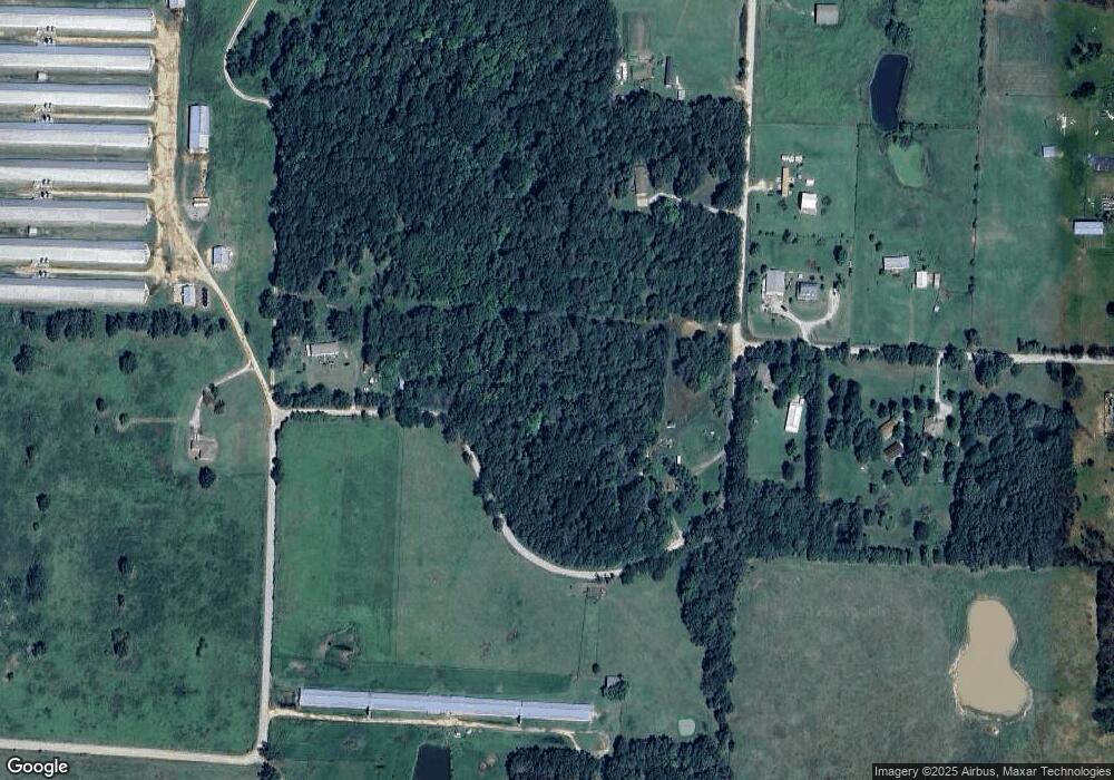
Map
Nearby Homes
- 9065 Pine Grove Rd
- TBD N Bloomfield Rd
- 0 Ruby Hall Rd Unit 25-289
- 0 Ruby Hall Rd Unit 1296833
- 22006 Bozarth Cemetery Rd
- 0 Bozarth Cemetery Rd
- 22443 Floyd Moore Rd
- TBD Ruby Hall Rd
- 23632 Coon Hollow Rd
- 22.56 Acres Floyd Moore Rd
- TBD Floyd Moore Rd
- 21743 Bozarth Cemetery Rd
- 21854 Floyd Moore Rd
- 23963 Floyd Moore Rd
- 23489 W Highway 12
- 23540 Arkansas 12
- 23775 Carlton Dr
- 11419 Cripps Rd
- 11230 John Zodrow Rd
- 21214 Floyd Moore Rd
- 18-14654-011 Cherokee Rd
- 22986 Cherokee Rd
- 22796 Cherokee Rd
- 9511 Pine Grove Rd
- 23050 Cherokee Rd
- 22820 Cherokee Rd
- 22787 Bozarth Cemetery Rd
- 9505 Pine Grove Rd
- TBD Pine Grove Rd
- 22772 Bozarth Cemetery Rd
- 9510 Pine Grove Rd
- 22693 Bozarth Cemetery Rd
- 23211 Cherokee Rd
- 9450 Pine Grove Rd
- 0 Cherokee Rd Unit 17-407
- 0 Cherokee Rd Unit 557709
- 0 Cherokee Rd Unit 606333
- 0 Cherokee Rd Unit 1004672
- 0 Cherokee Lot 22 Dr Unit 1027188
- 0 Cherokee Lot 21 Dr Unit 1027189