2295 Parkside Dr Unit 1 Austell, GA 30106
Estimated Value: $284,000 - $291,797
3
Beds
3
Baths
1,394
Sq Ft
$206/Sq Ft
Est. Value
About This Home
This home is located at 2295 Parkside Dr Unit 1, Austell, GA 30106 and is currently estimated at $286,949, approximately $205 per square foot. 2295 Parkside Dr Unit 1 is a home located in Cobb County with nearby schools including Deerwood Elementary School, Austell Elementary School, and Garrett Middle School.
Ownership History
Date
Name
Owned For
Owner Type
Purchase Details
Closed on
Oct 15, 2001
Sold by
Roby Steven E and Roby Shelia L
Bought by
Crump Stephen and Crump Nancy G
Current Estimated Value
Home Financials for this Owner
Home Financials are based on the most recent Mortgage that was taken out on this home.
Original Mortgage
$117,950
Outstanding Balance
$45,525
Interest Rate
6.85%
Mortgage Type
New Conventional
Estimated Equity
$241,424
Create a Home Valuation Report for This Property
The Home Valuation Report is an in-depth analysis detailing your home's value as well as a comparison with similar homes in the area
Home Values in the Area
Average Home Value in this Area
Purchase History
| Date | Buyer | Sale Price | Title Company |
|---|---|---|---|
| Crump Stephen | $124,200 | -- |
Source: Public Records
Mortgage History
| Date | Status | Borrower | Loan Amount |
|---|---|---|---|
| Open | Crump Stephen | $117,950 |
Source: Public Records
Tax History Compared to Growth
Tax History
| Year | Tax Paid | Tax Assessment Tax Assessment Total Assessment is a certain percentage of the fair market value that is determined by local assessors to be the total taxable value of land and additions on the property. | Land | Improvement |
|---|---|---|---|---|
| 2025 | $2,197 | $112,276 | $20,800 | $91,476 |
| 2024 | $2,197 | $112,276 | $20,800 | $91,476 |
| 2023 | $1,604 | $106,712 | $16,800 | $89,912 |
| 2022 | $1,790 | $89,628 | $16,800 | $72,828 |
| 2021 | $1,347 | $65,744 | $12,000 | $53,744 |
| 2020 | $1,347 | $65,744 | $12,000 | $53,744 |
| 2019 | $1,231 | $59,660 | $12,000 | $47,660 |
| 2018 | $967 | $45,768 | $12,000 | $33,768 |
| 2017 | $910 | $45,768 | $12,000 | $33,768 |
| 2016 | $664 | $35,640 | $6,400 | $29,240 |
| 2015 | $681 | $35,640 | $6,400 | $29,240 |
| 2014 | $429 | $25,944 | $0 | $0 |
Source: Public Records
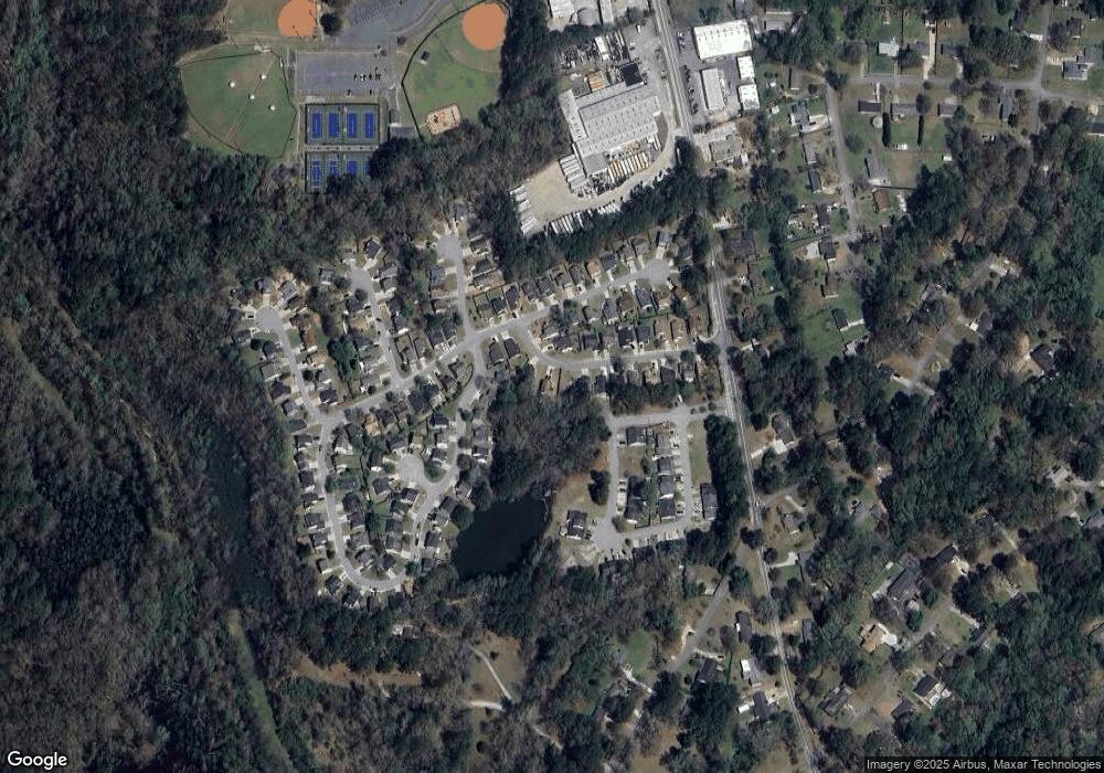
Map
Nearby Homes
- 6025 Park Wood Ct
- 5069 Flint Hill Rd Unit AB
- 5069 A B Flint Hill Rd
- 2650 Park Ave
- 2331 Weslan Dr
- 2276 Clay Rd SW
- 2125 Clay Rd SW
- 2236 Clay Rd
- 2136 Perkerson Mill Rd SW
- 2179 Warren Dr
- 5164 Medford Ln
- 5154 Medford Ln
- 2713 Flintlock Place
- 2918 Egret Ln
- 1 Perkerson Mill Rd SW
- 2763 Whitewater Ct
- 4747 Nelda Dr
- 4644 Egret Ct
- 2711 Greystone Ct
- 4809 Hemlock Dr
- 2305 Parkside Dr
- 2275 Parkside Dr
- 2270 Parkside Dr
- 2805 Park Ave
- 2265 Parkside Dr Unit 7
- 2265 Parkside Dr
- 2485 Park Ave
- 2495 Park Ave
- 2280 Parkside Dr
- 2260 Parkside Dr
- 2255 Parkside Dr
- 2790 Park Ave
- 2445 Park Ave
- 2250 Parkside Dr
- 2250 Parkside Dr
- 2780 Park Ave
- 2245 Parkside Dr
- 2435 Park Ave
- 0 Park Ave Unit 8701272
- 0 Park Ave Unit 8447811