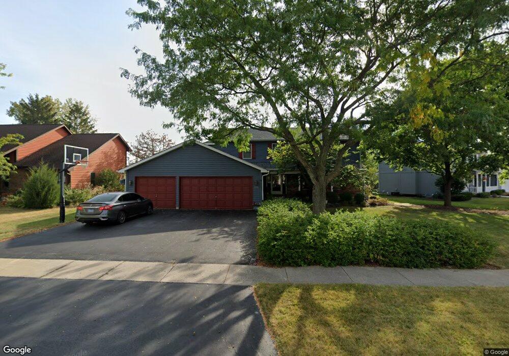
2296 High Point Dr Lindenhurst, IL 60046
Estimated Value: $468,925 - $556,000
3
Beds
2
Baths
2,464
Sq Ft
$205/Sq Ft
Est. Value
About This Home
This home is located at 2296 High Point Dr, Lindenhurst, IL 60046 and is currently estimated at $506,231, approximately $205 per square foot. 2296 High Point Dr is a home located in Lake County with nearby schools including Lakes Community High School.
Ownership History
Date
Name
Owned For
Owner Type
Purchase Details
Closed on
Jul 23, 1998
Sold by
Lips Rosemary V
Bought by
Walgren Jay N and Walgren Jayne M
Current Estimated Value
Home Financials for this Owner
Home Financials are based on the most recent Mortgage that was taken out on this home.
Original Mortgage
$110,000
Outstanding Balance
$18,282
Interest Rate
7.03%
Estimated Equity
$487,949
Create a Home Valuation Report for This Property
The Home Valuation Report is an in-depth analysis detailing your home's value as well as a comparison with similar homes in the area
Home Values in the Area
Average Home Value in this Area
Purchase History
We collect this data history from publicly available records. To have your information removed, we recommend requesting removal directly through your county’s website.
| Date | Buyer | Sale Price | Title Company |
|---|---|---|---|
| Walgren Jay N | $235,000 | -- |
Source: Public Records
Mortgage History
We collect this data history from publicly available records. To have your information removed, we recommend requesting removal directly through your county’s website.
| Date | Status | Borrower | Loan Amount |
|---|---|---|---|
| Open | Walgren Jay N | $110,000 |
Source: Public Records
Tax History
| Year | Tax Paid | Tax Assessment Tax Assessment Total Assessment is a certain percentage of the fair market value that is determined by local assessors to be the total taxable value of land and additions on the property. | Land | Improvement |
|---|---|---|---|---|
| 2025 | $11,996 | $134,292 | $28,527 | $105,765 |
| 2024 | $11,412 | $125,191 | $26,594 | $98,597 |
| 2023 | $12,710 | $110,612 | $23,497 | $87,115 |
| 2022 | $12,710 | $117,308 | $27,879 | $89,429 |
| 2021 | $12,108 | $108,972 | $25,898 | $83,074 |
| 2020 | $11,845 | $105,480 | $25,068 | $80,412 |
| 2019 | $12,145 | $101,374 | $24,092 | $77,282 |
| 2018 | $11,260 | $97,724 | $26,940 | $70,784 |
| 2017 | $10,963 | $95,118 | $26,222 | $68,896 |
| 2016 | $11,202 | $91,266 | $25,160 | $66,106 |
| 2015 | $10,725 | $85,240 | $23,499 | $61,741 |
| 2014 | $11,358 | $81,009 | $22,082 | $58,927 |
| 2012 | $10,555 | $97,722 | $25,039 | $72,683 |
Source: Public Records
Map
Nearby Homes
- 2308 Carriage Ln
- 534 Whispering Pines Rd Unit 2
- 412 Surrey Ln
- 516 N Beck Rd
- 2375 Kelsey Ct
- 1920 Hazelwood Dr
- 2004 Sprucewood Ln
- 1806 Hazelwood Dr
- 1809 Maplewood Ct
- 102 Hawthorne Dr
- 2890 Trail Crest Ln
- 2952 Liberty Ln
- 88 Hackney Ln
- 1896 E Vista Terrace
- 19135 W Millburn Rd
- 1055 E Grand Ave
- 405 Woodland Trail
- 420 Woodland Trail
- 428 Woodland Trail
- 434 Woodland Trail
- 2288 High Point Dr
- 2300 High Point Dr
- 2282 High Point Dr
- 2289 High Point Dr
- 2281 High Point Dr
- 2273 High Point Dr
- 2324 High Point Dr
- 2276 High Point Dr
- 2265 High Point Dr
- 2299 High Point Dr
- 2257 High Point Dr
- 2303 High Point Dr
- 2336 High Point Dr
- 2241 High Point Dr
- 2270 High Point Dr
- 409 N Beck Rd
- 411 N Beck Rd
- 2315 High Point Dr
- 407 N Beck Rd
- 413 N Beck Rd
Your Personal Tour Guide
Ask me questions while you tour the home.