22960 McDaniel Farm Ln McDaniel, MD 21647
Estimated Value: $1,499,000 - $1,867,000
--
Bed
3
Baths
3,293
Sq Ft
$513/Sq Ft
Est. Value
About This Home
This home is located at 22960 McDaniel Farm Ln, McDaniel, MD 21647 and is currently estimated at $1,688,214, approximately $512 per square foot. 22960 McDaniel Farm Ln is a home located in Talbot County with nearby schools including Tilghman Elementary School, St. Michaels Middle/High School, and Easton High School.
Ownership History
Date
Name
Owned For
Owner Type
Purchase Details
Closed on
Mar 31, 2023
Sold by
Pellegrino Michelle A
Bought by
Hegadorn Michelle P and Hegadorn Joseph L
Current Estimated Value
Purchase Details
Closed on
Jul 15, 1997
Sold by
Kvasnak Alice and Kvasnak Cornelius J
Bought by
Pellegrino Michelle A and Hegadorn Joseph L
Purchase Details
Closed on
Jun 20, 1996
Sold by
Kvasnak Cornelius J
Bought by
Kvasnak Alice and Kvasnak Cornelius J
Create a Home Valuation Report for This Property
The Home Valuation Report is an in-depth analysis detailing your home's value as well as a comparison with similar homes in the area
Home Values in the Area
Average Home Value in this Area
Purchase History
| Date | Buyer | Sale Price | Title Company |
|---|---|---|---|
| Hegadorn Michelle P | -- | -- | |
| Hegadorn Michelle P | -- | None Listed On Document | |
| Pellegrino Michelle A | -- | -- | |
| Kvasnak Alice | $502,000 | -- | |
| Kvasnak Alice | -- | -- |
Source: Public Records
Tax History Compared to Growth
Tax History
| Year | Tax Paid | Tax Assessment Tax Assessment Total Assessment is a certain percentage of the fair market value that is determined by local assessors to be the total taxable value of land and additions on the property. | Land | Improvement |
|---|---|---|---|---|
| 2025 | $5,352 | $1,121,100 | $460,500 | $660,600 |
| 2024 | $5,352 | $1,070,200 | $0 | $0 |
| 2023 | $5,052 | $1,019,300 | $0 | $0 |
| 2022 | $4,682 | $968,400 | $460,500 | $507,900 |
| 2021 | $4,445 | $964,467 | $0 | $0 |
| 2020 | $4,445 | $960,533 | $0 | $0 |
| 2019 | $4,440 | $956,600 | $460,500 | $496,100 |
| 2018 | $4,313 | $956,600 | $460,500 | $496,100 |
| 2017 | $4,131 | $956,600 | $0 | $0 |
| 2016 | $4,027 | $1,048,300 | $0 | $0 |
| 2015 | $3,618 | $1,048,300 | $0 | $0 |
| 2014 | $3,618 | $1,048,300 | $0 | $0 |
Source: Public Records
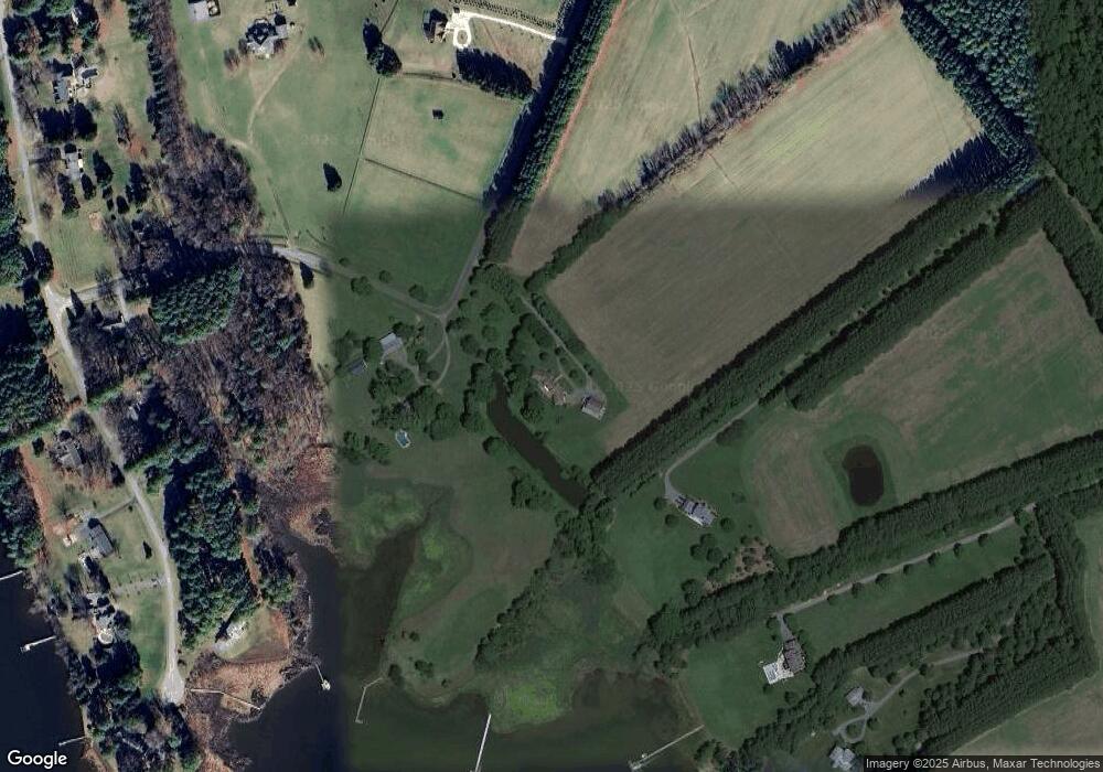
Map
Nearby Homes
- 9262 Macks Ln
- 9681 Macks Ln
- 00 New Rd
- 8805 Cummings Rd
- 22381 Cooper Ln
- 22349 Cooper Ln
- 22314 Pot Pie Rd
- 0 Bozman Neavitt Rd Unit MDTA2011976
- 8620 Bozman Neavitt Rd
- 22571 Crescendo Cir
- 8781 Tilghman Island Rd
- 8034 Bozman Neavitt Rd
- 23869 Mount Misery Rd
- 7983 Bozman Neavitt Rd
- 9791 Pintail Place
- 24362 Widgeon Place Unit 4
- 24420 Mallard Place
- 9545 Quail Hollow Dr Unit 205
- 9171 Deepwater Point Rd
- 10770 Rich Neck Rd
- 22955 McDaniel Farm Ln
- 9340 Macks Ln
- 22974 McDaniel Farm Ln
- 9225 Pennywhistle Dr
- 9249 Pennywhistle Dr
- 9201 Pennywhistle Dr
- 9267 Pennywhistle Dr
- 22868 McDaniel Farm Ln
- 22896 McDaniel Farm Ln
- 22880 McDaniel Farm Ln
- 9260 Macks Ln
- 9242 Pennywhistle Dr
- 23008 McDaniel Farm Ln
- 9262 Pennywhistle Dr
- 9220 Pennywhistle Dr
- 9339 Pennywhistle Dr
- 9286 Pennywhistle Dr
- 9359 Pennywhistle Dr
- 9304 Pennywhistle Dr
- 0 Kemps Ln Unit MDTA2008490